De Bry Rare Books
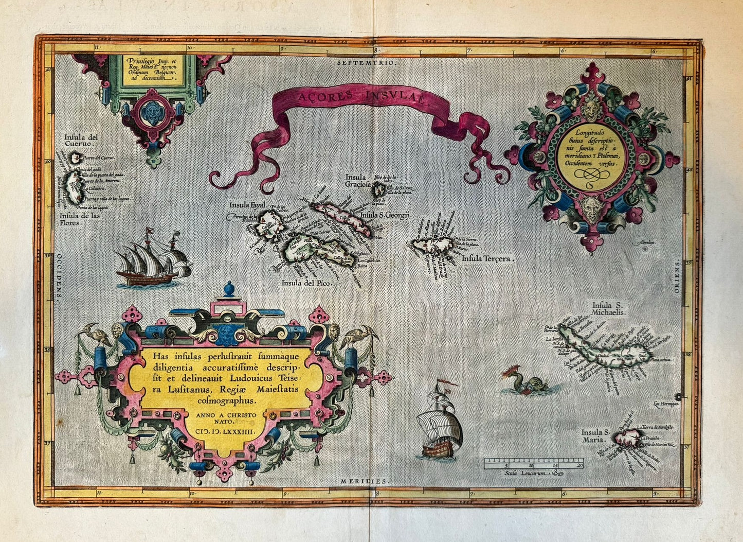
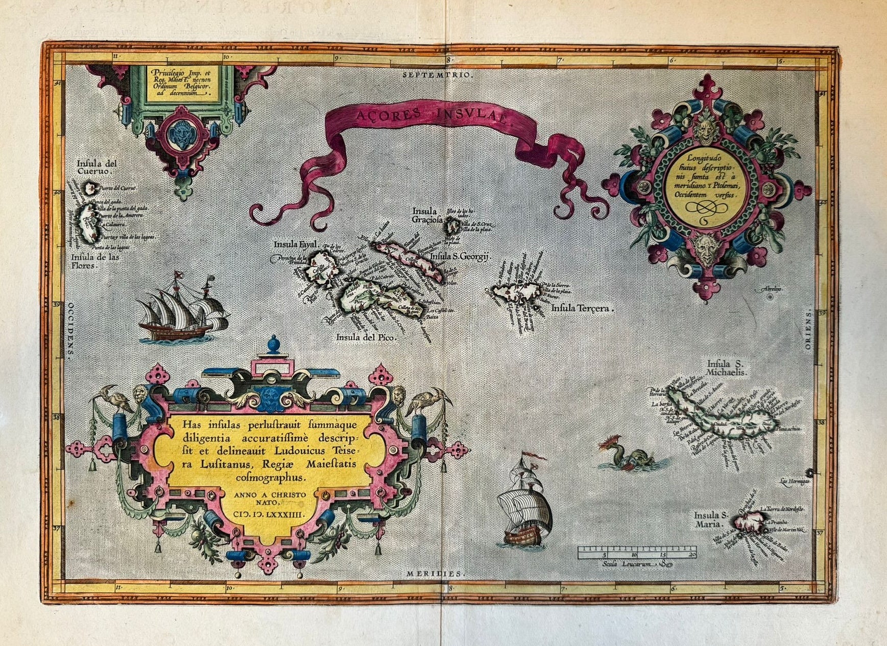
"Açores Insulae" - Azores - Abraham Ortelius (1527 – 1598) - First Published 1584
"Açores Insulae" - Azores - Abraham Ortelius (1527 – 1598) - First Published 1584
Couldn't load pickup availability
"Açores Insulae"
Abraham Ortelius (1527 – 1598)
First Published 1584 - Latin text to verso
1603 edition: “Last line left aligned “rarij Io. Hugonis Lindschotani.”
9th Line from bottom ends (rivulus)” Cartographia Neerlandica
35 x 50cm approx
Important and beautiful map of the Açores islands – here in modern colour.
Old fold and some creases but otherwise very good condition
This is an impresive map of the Açores – an important stop over location for travellers in the Age of Discovery. Discovered by the Portuguese in the 1400s, the Islands were used as a stopover for Columbus on his way to the Americas, and by Linschoten on his return from his work in India. The map is nicely engraved with ships, a sea monster and a nautical scale decorating the seas. There are no less than 3 cartouches which are all particularly elaborate with grotesques and birds decorating the frames.
£500


