De Bry Rare Books
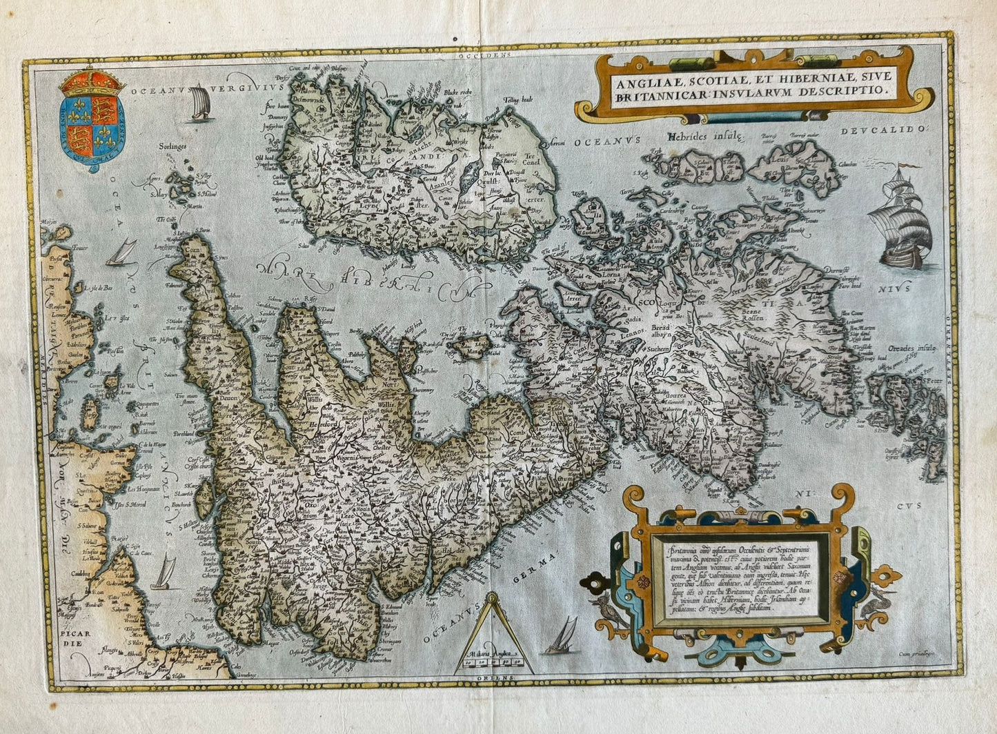
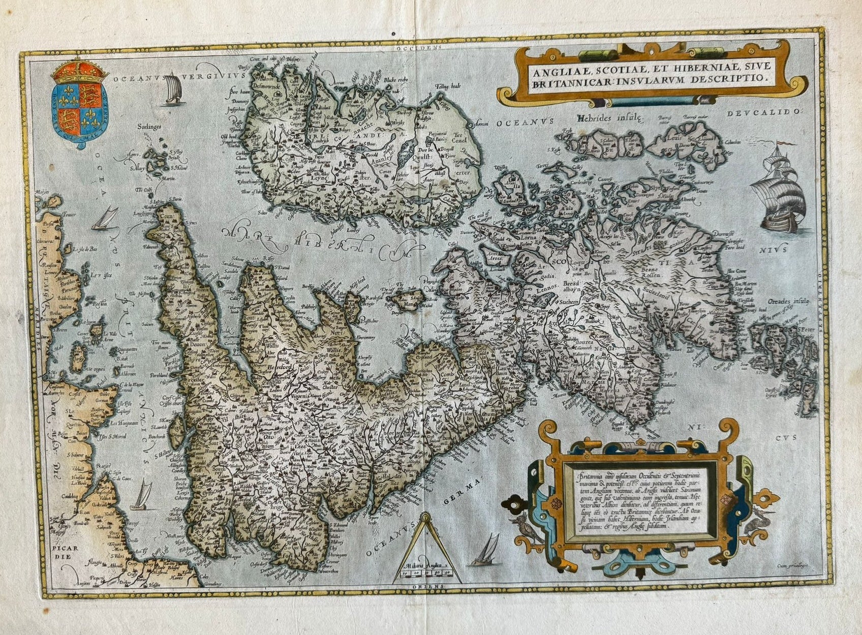
"Anglia, Scotiae et Hiberniae Sive Britannicar: Insularum Descriptio" - 1579 - Abraham Ortelius (1527 – 1598)
"Anglia, Scotiae et Hiberniae Sive Britannicar: Insularum Descriptio" - 1579 - Abraham Ortelius (1527 – 1598)
Couldn't load pickup availability
"Anglia, Scotiae et Hiberniae Sive Britannicar: Insularum Descriptio"
Abraham Ortelius (1527 – 1598)
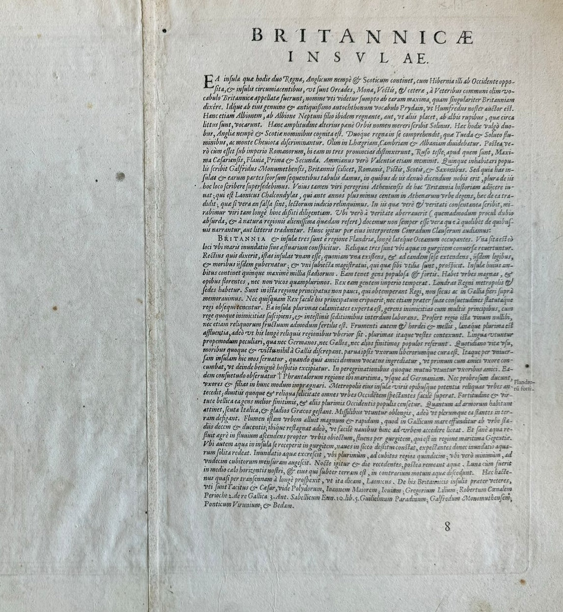
Latin text to verso
1579 edition: “Last line left aligned “Ponticum Virunium & Bedam”. Last letter E of second title line below letter I of first title Line” Cartographia Neerlandica
35 x 50cm approx
Important and beautiful map of the British Isles and Ireland – here in modern colour. Old fold and some creases but otherwise very good condition
This Lovely map of the British Isles and Ireland by Abraham Ortelius is based on the mapping of Gerard Mercator. The map is beautifully engraved with a delicate style that is pleasing to the eye. Many of the names on the map are of Monasteries which were dissolved by the time this map was published. The seas are decorated with a sailing ship, a map makers measuring compass and a crest of the British Crown.
One of the most decorative 16th Century maps of the British Isles
£750
