De Bry Rare Books
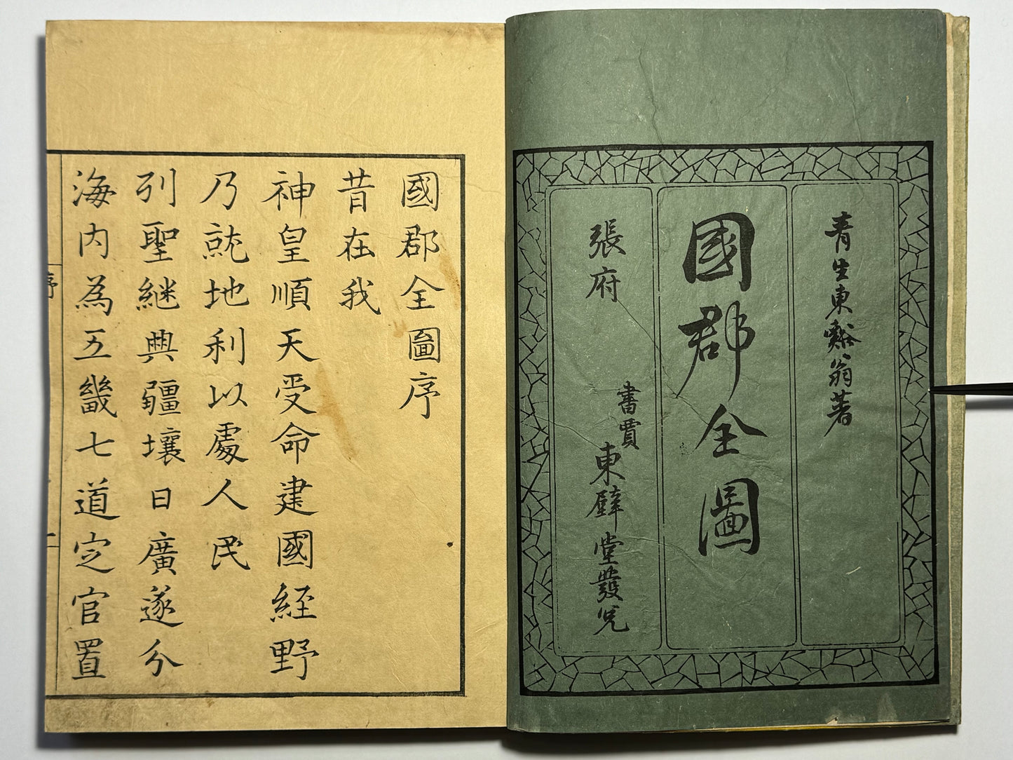
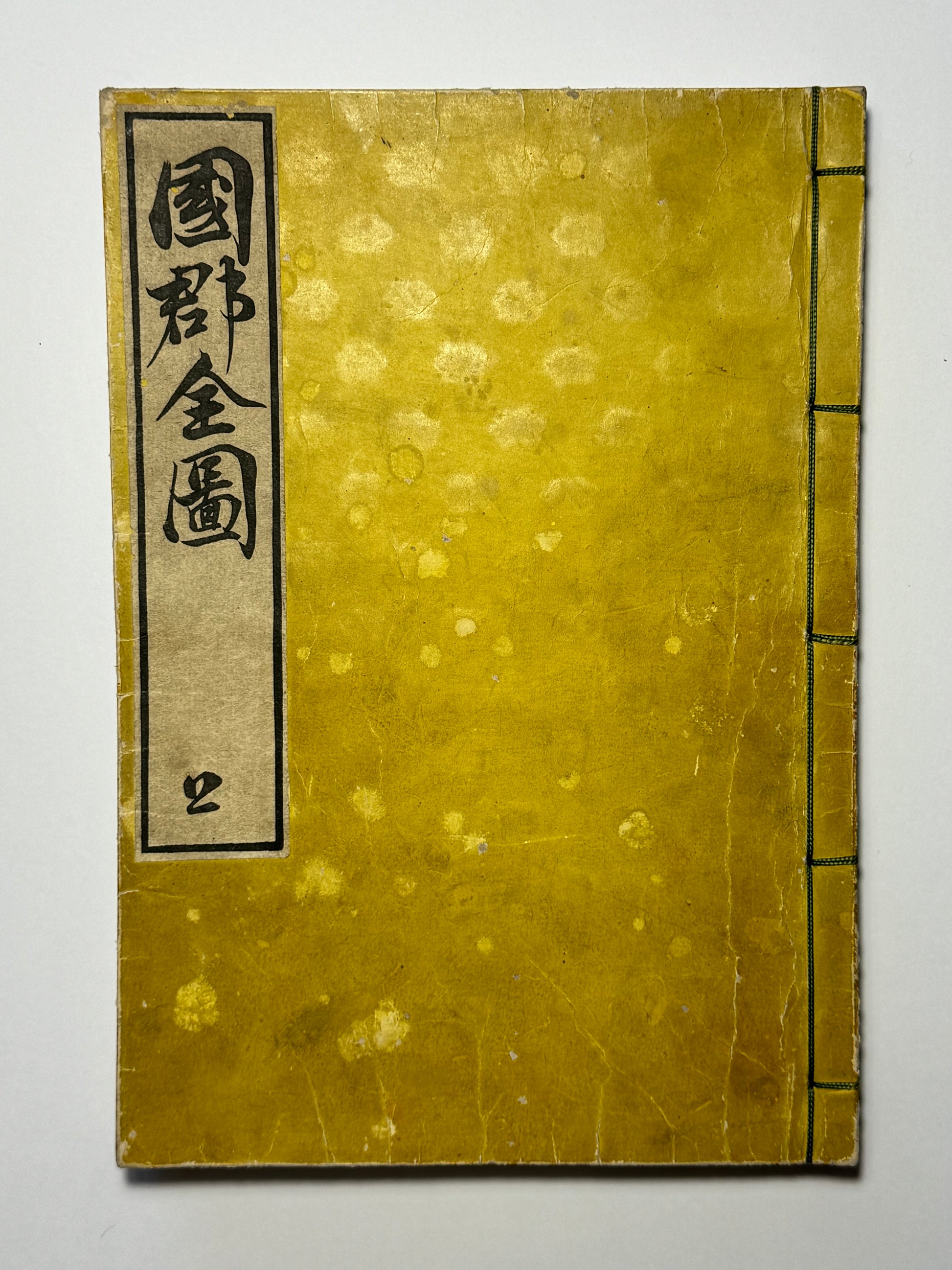
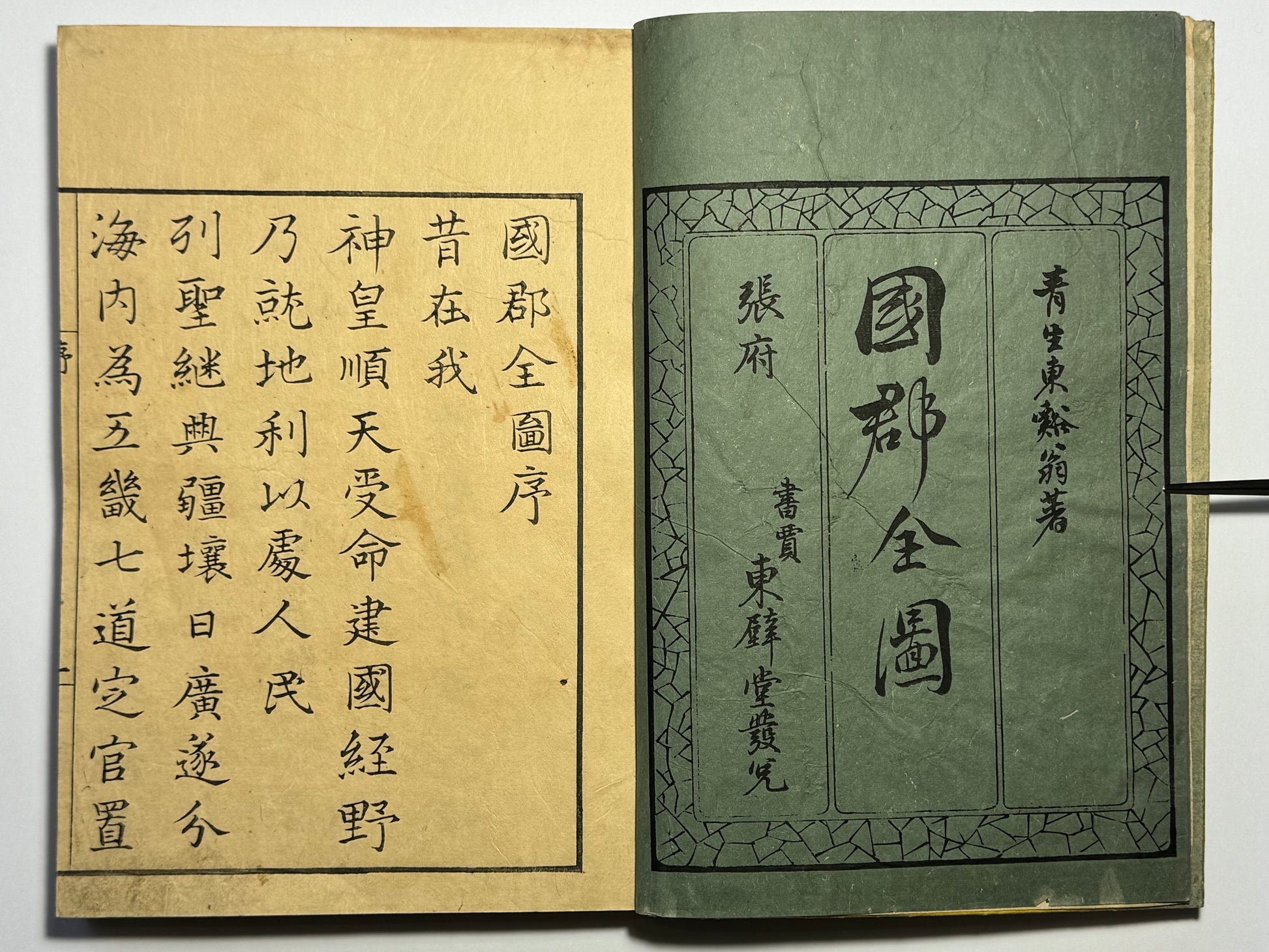
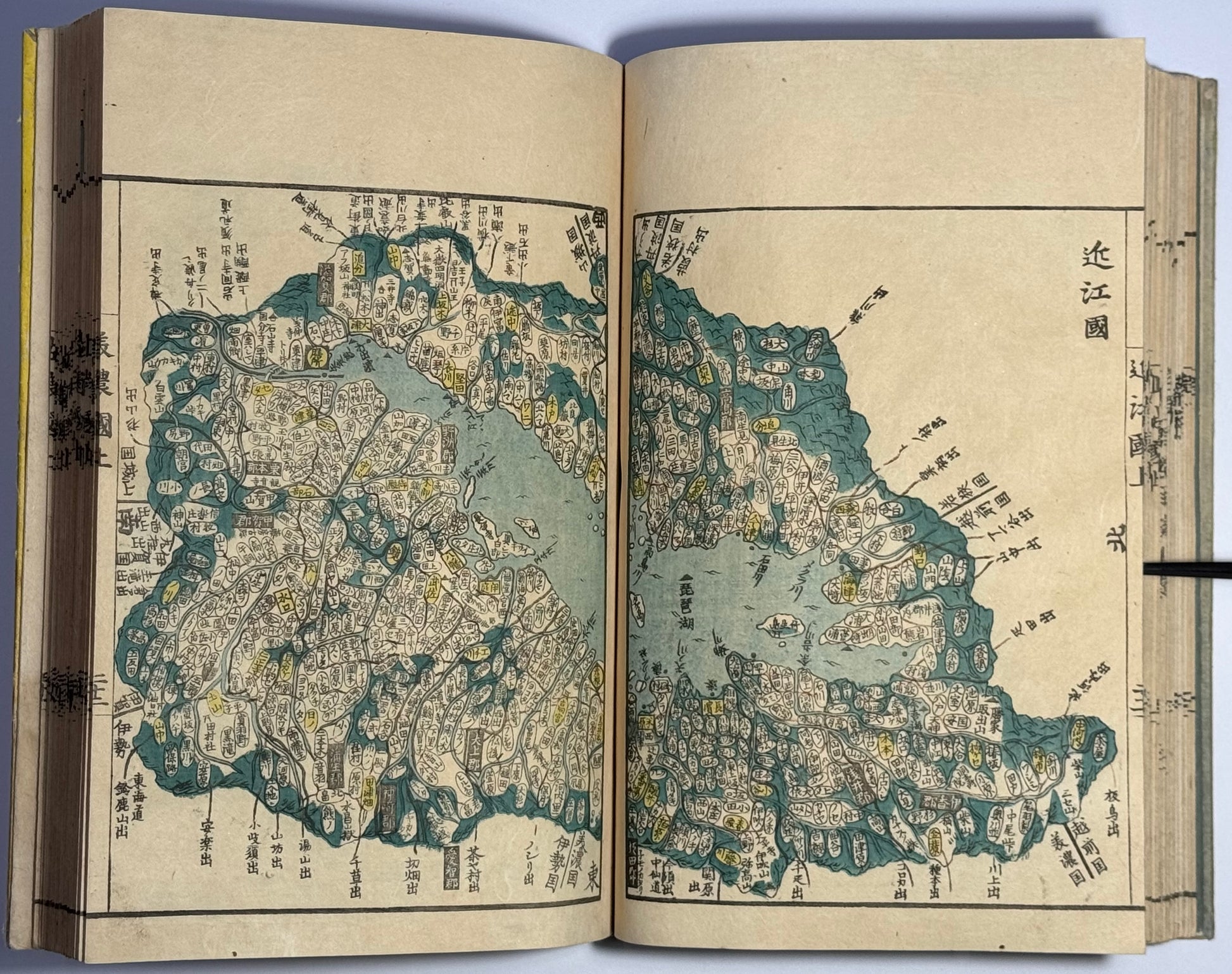
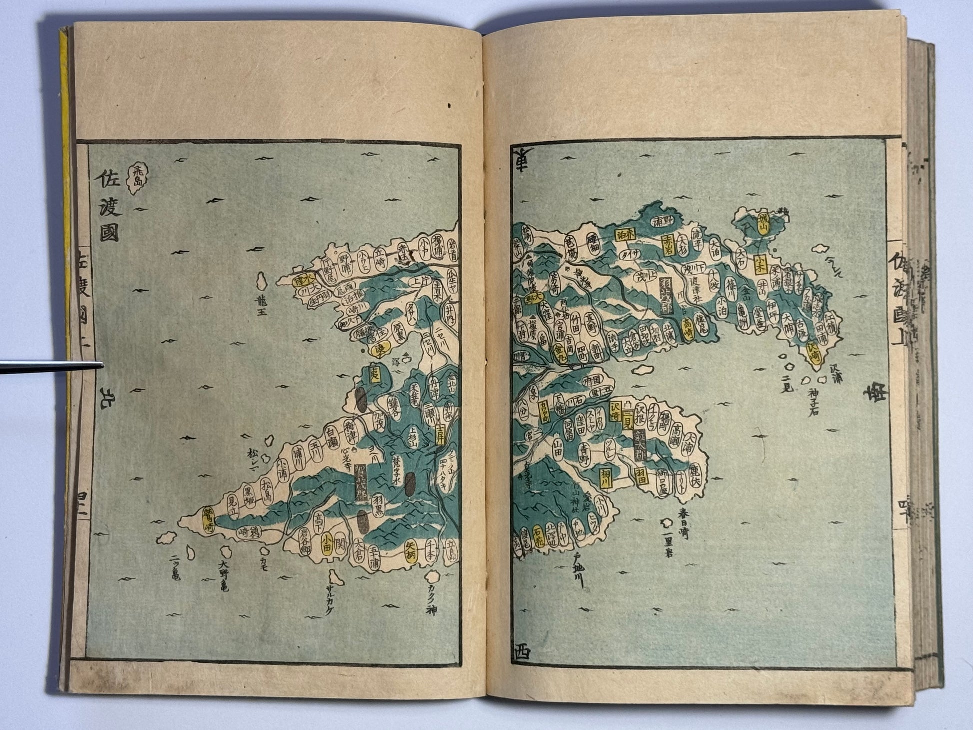
“Atlas of the Provinces and Counties of Japan” Kokugun Zenzu 國郡全圖 By Aou Tokei 青生東谿
“Atlas of the Provinces and Counties of Japan” Kokugun Zenzu 國郡全圖 By Aou Tokei 青生東谿
Couldn't load pickup availability
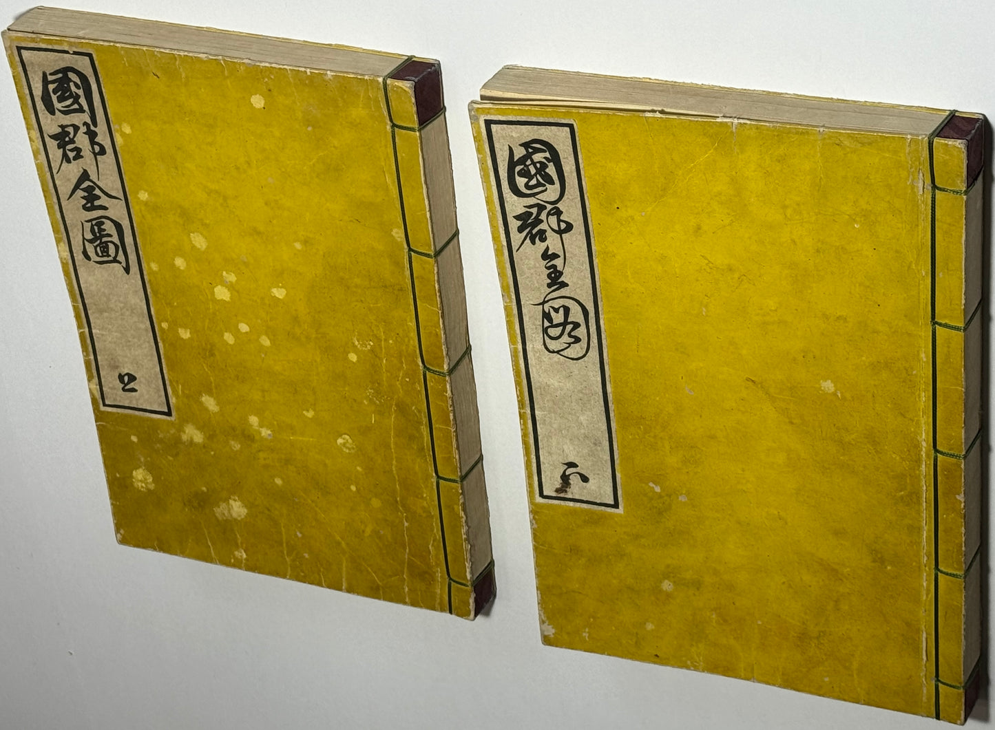
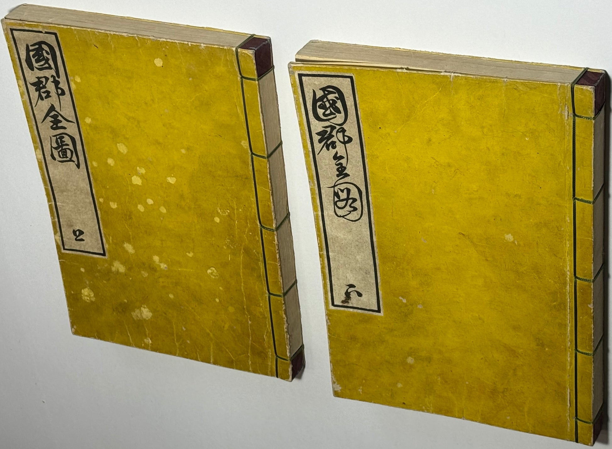
“Complete Maps of the Provinces and Counties” -Maps of Japan in two volumes
Kokugun Zenzu 國郡全圖
By Aou Tokei青生東谿
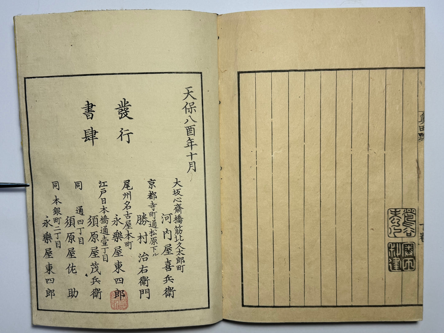
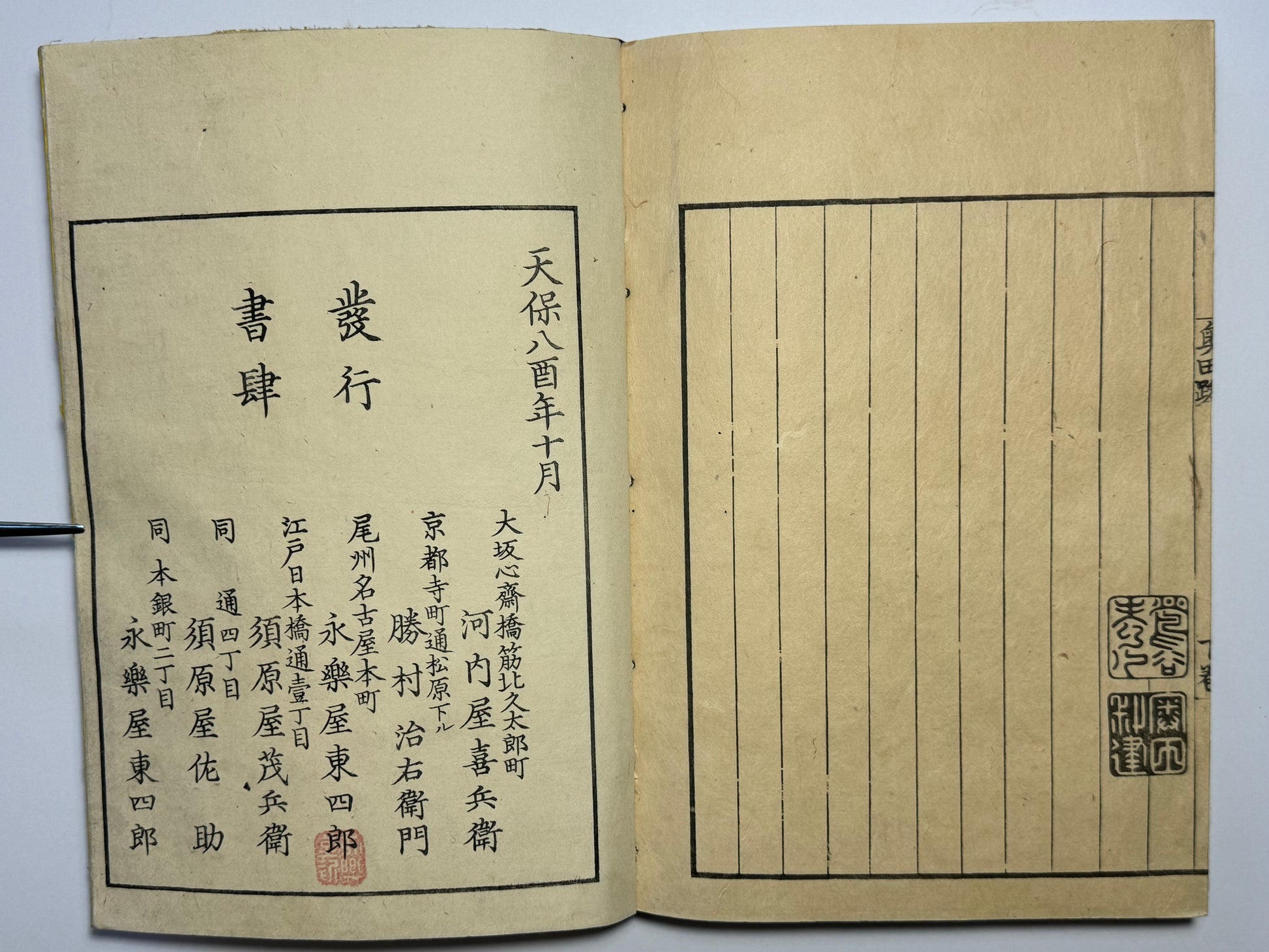
Printed in Nagoya by Toheido
Dated 10th month of the 8th Year of Tenpo (1837) 28x20cm
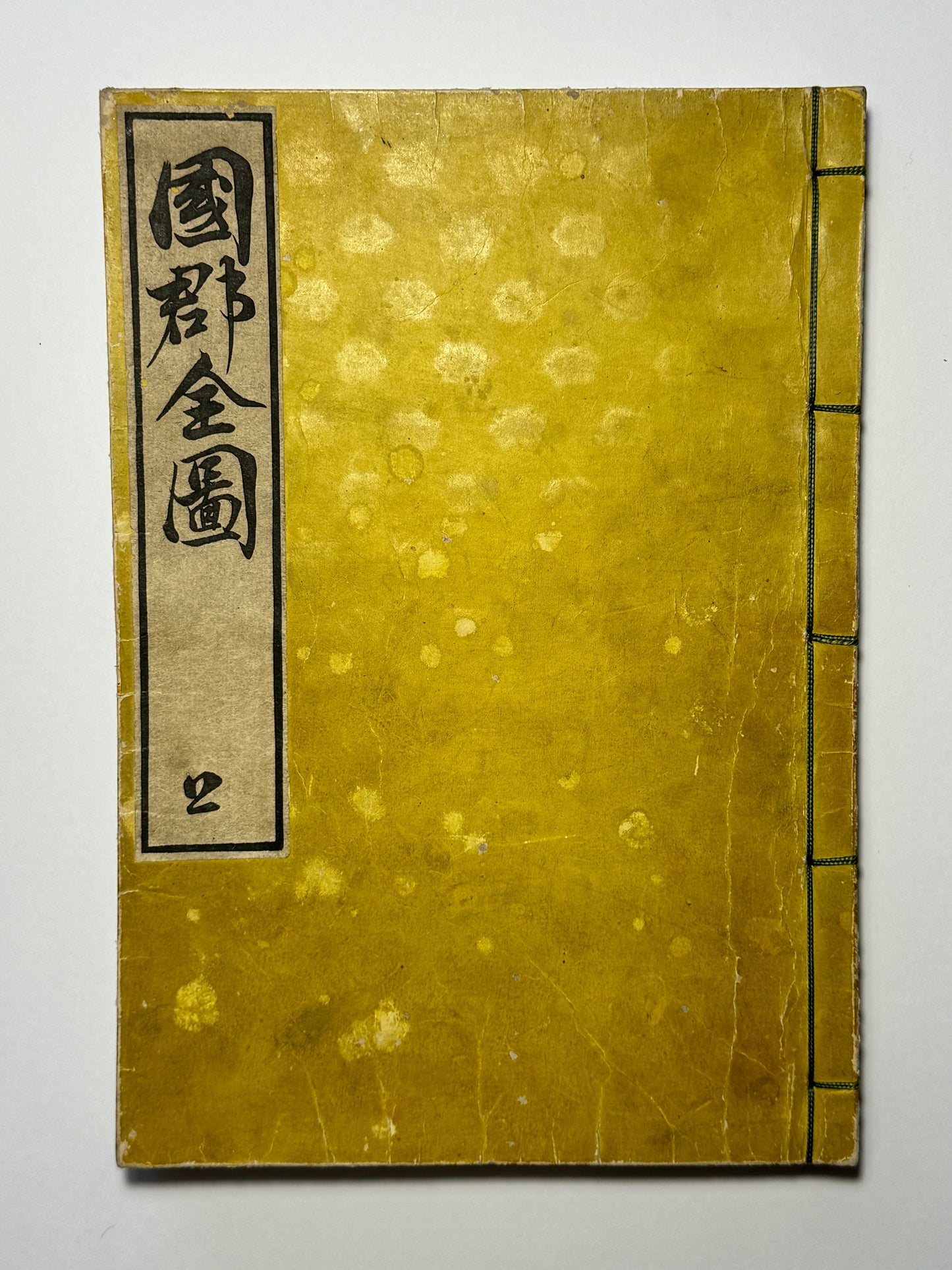
Two volumes with original yellow bindings. Silk sewing to corners and original sewing binding. Generally in very good condition. Original yellow covers with wear and marks. Maps very good. First volume has worm damage to three consecutive leaves in only, limited to margin outside maps, and one small hole to map on last page. Second volume has some worm damage to some maps, mostly minor. None is extensive.
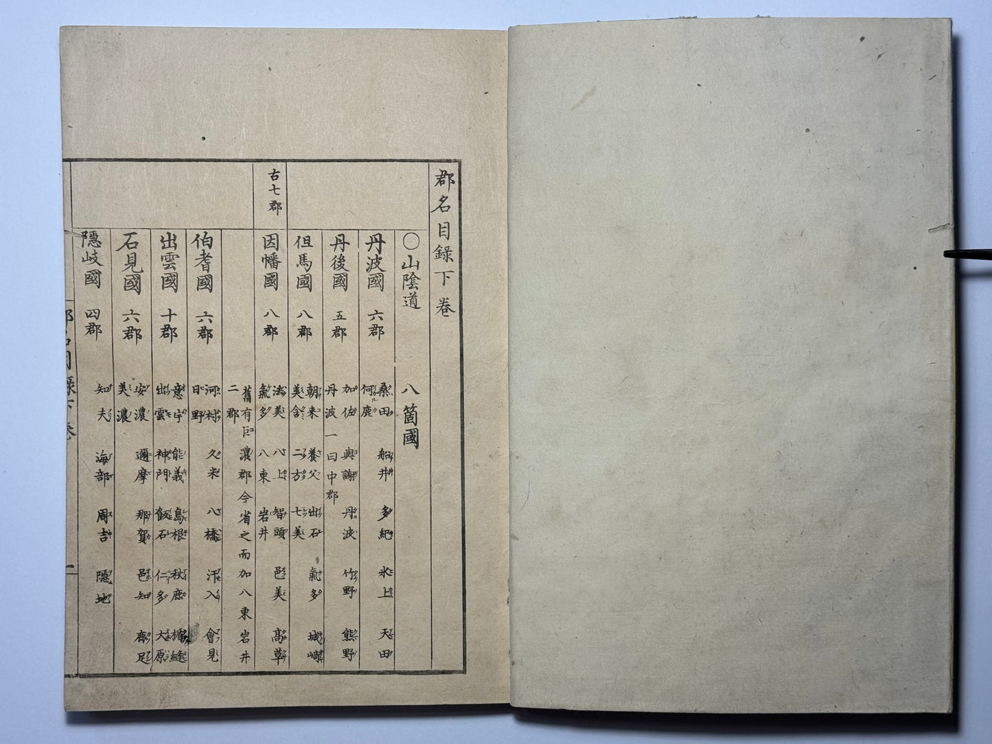
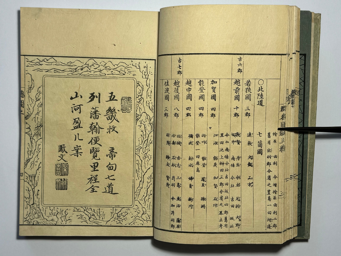
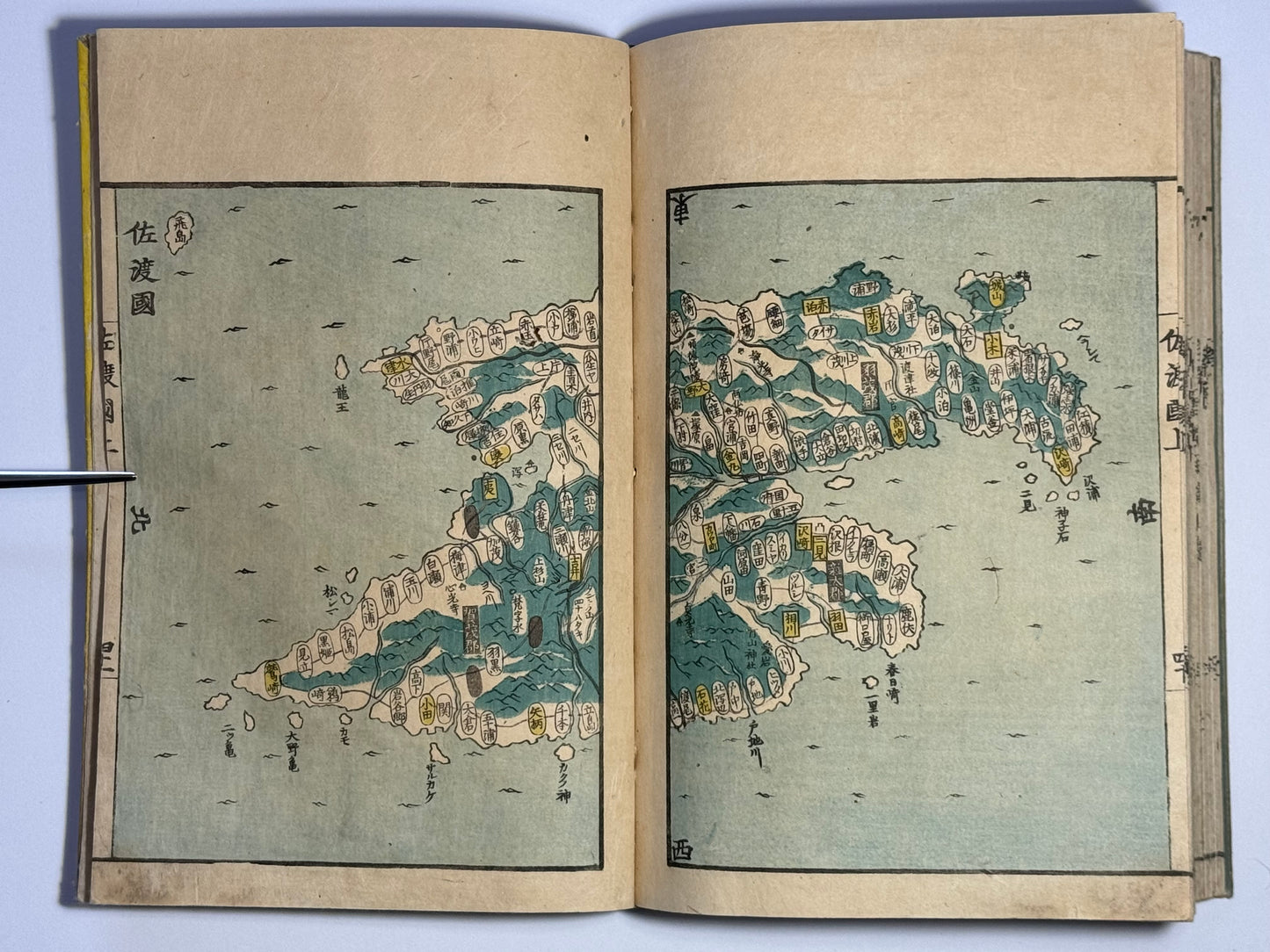
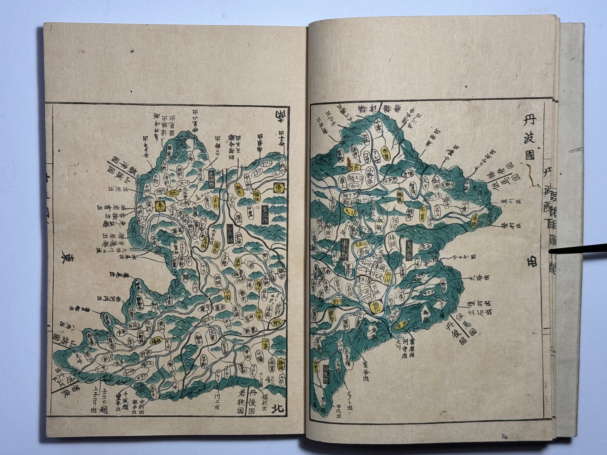
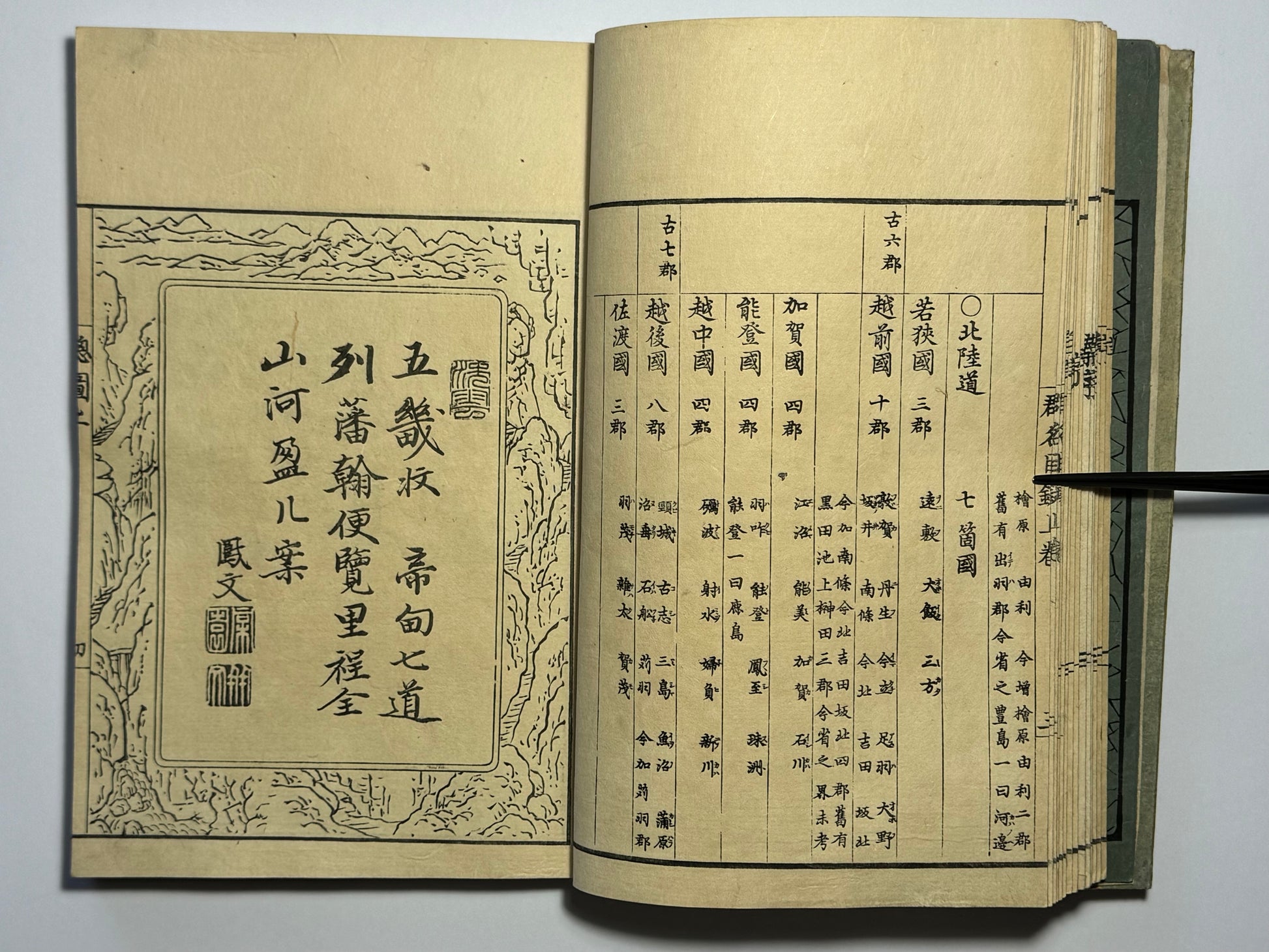
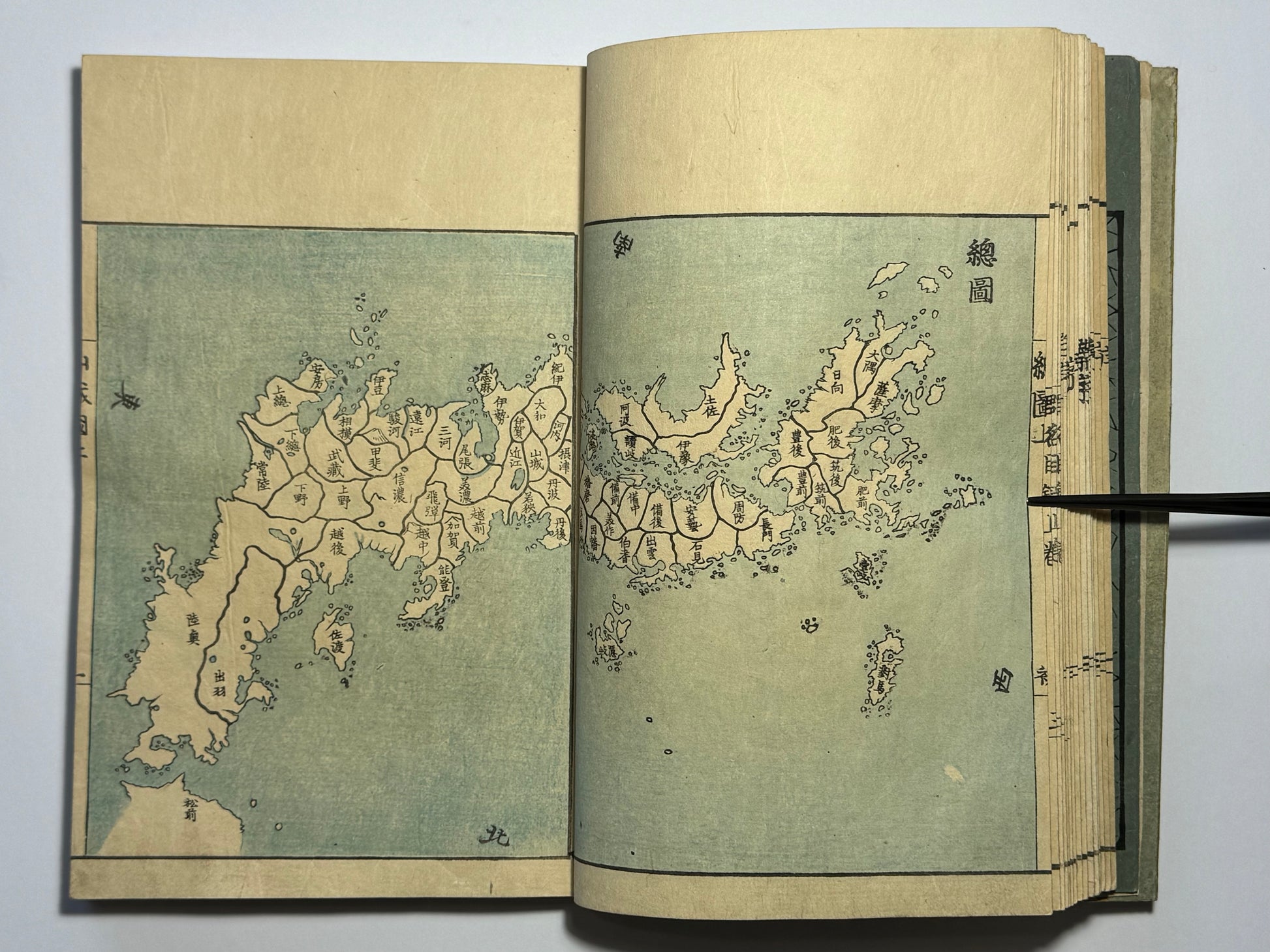
Volume 1: endpaper, title page, 14 double sided leaves of prefaces and catalogue of county names, 42 of maps with green and blue colour.
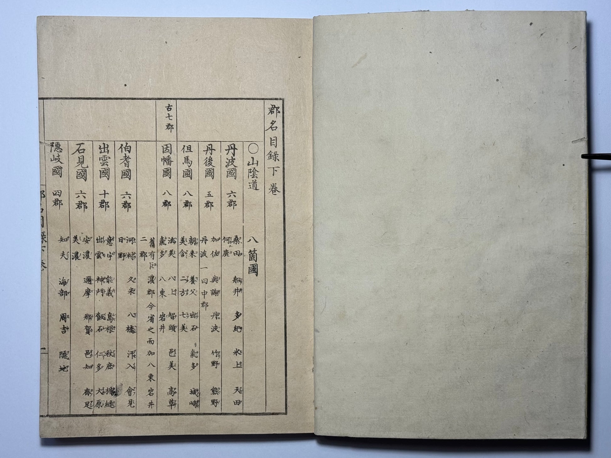
Volume 2: 3 double sided leaves of catalogues, 34 of coloured maps, 1 with editor’s postscript.
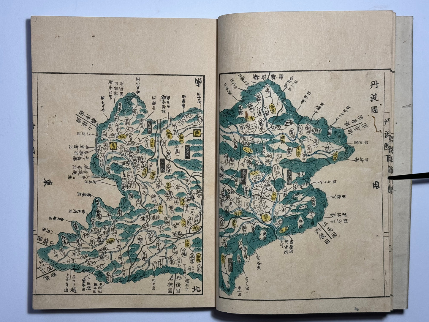
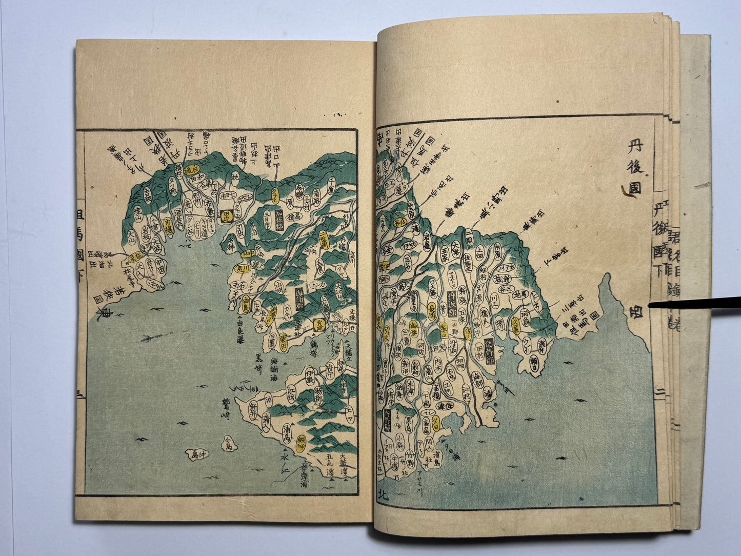
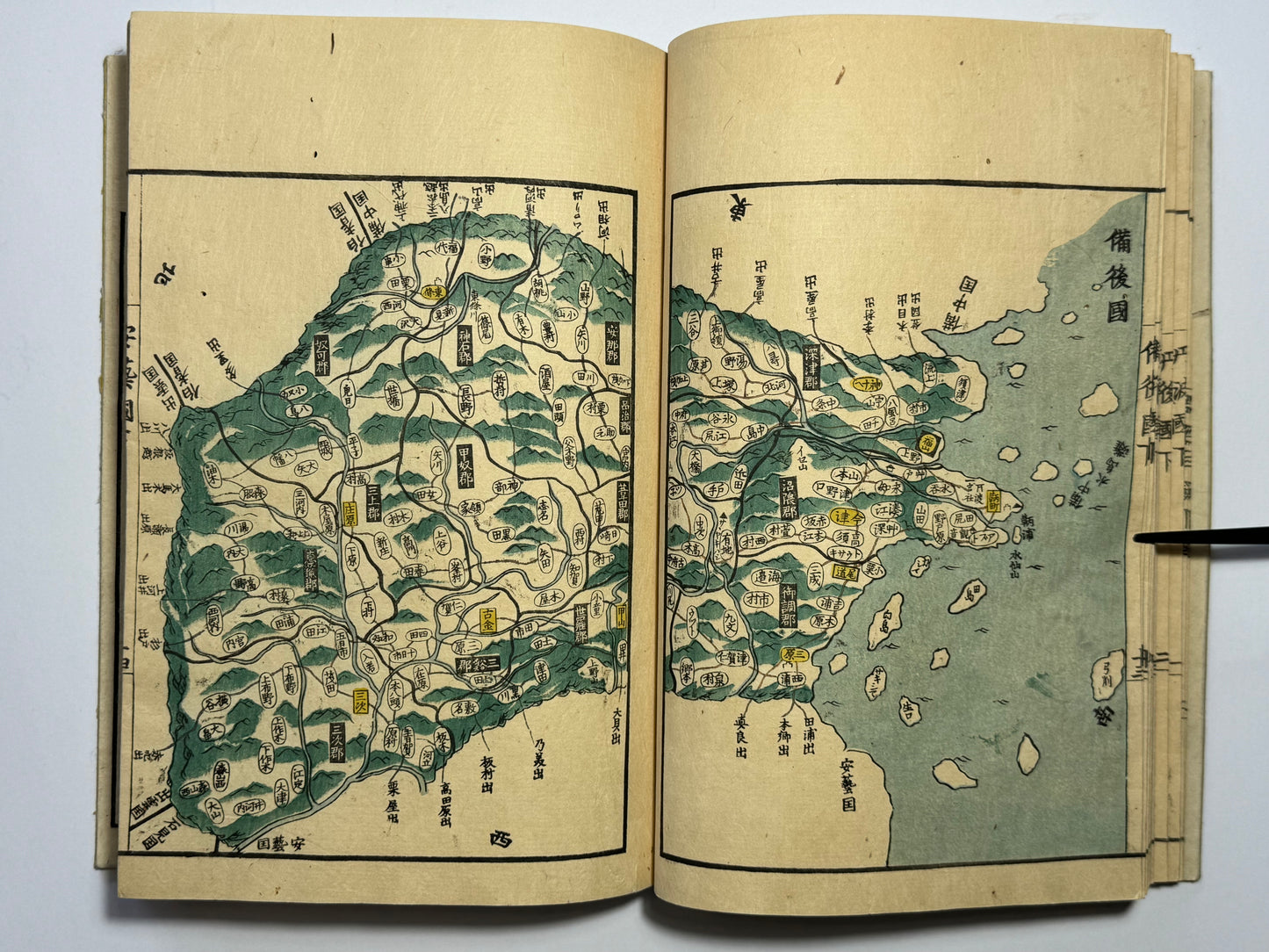
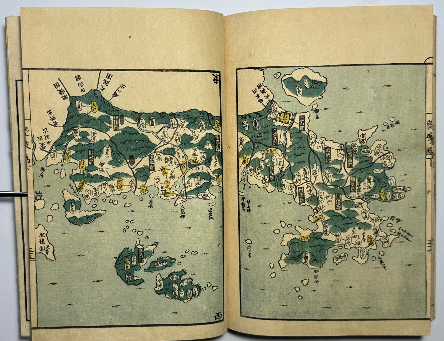
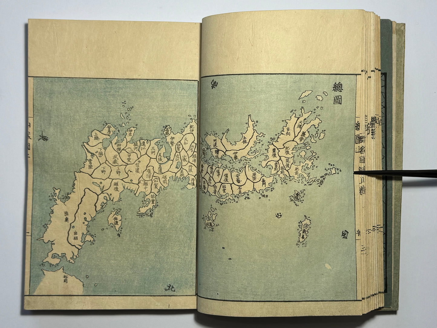
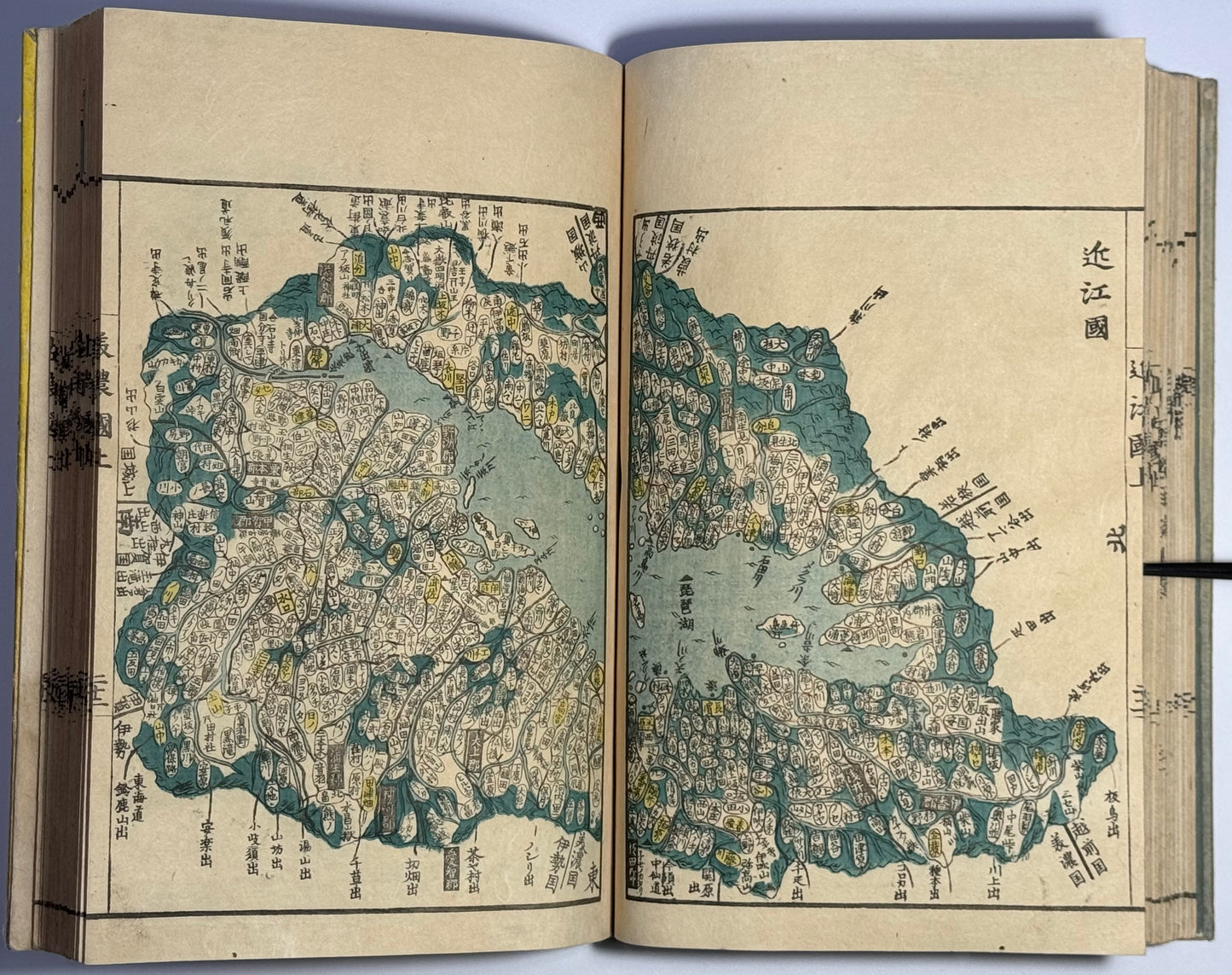
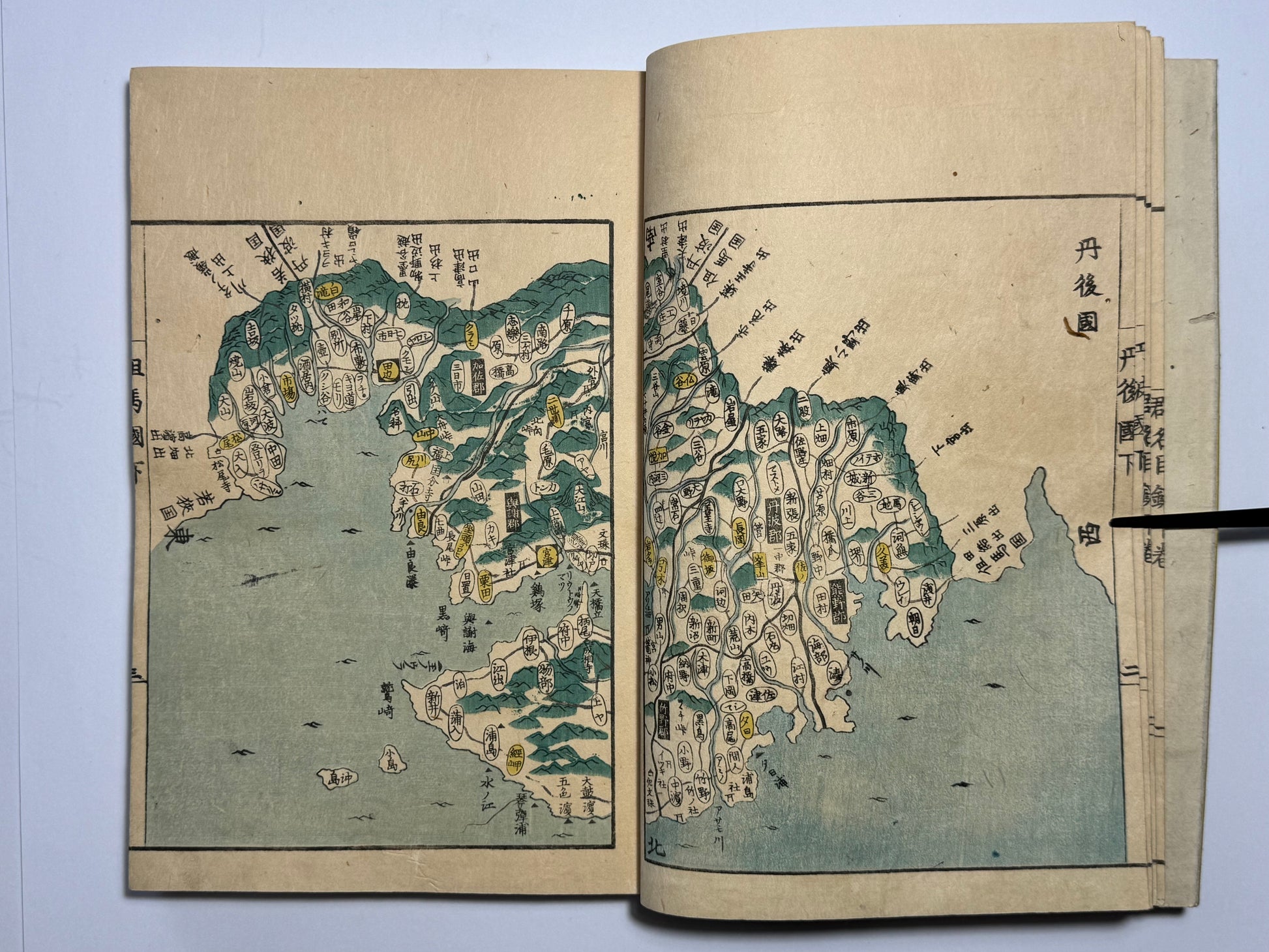
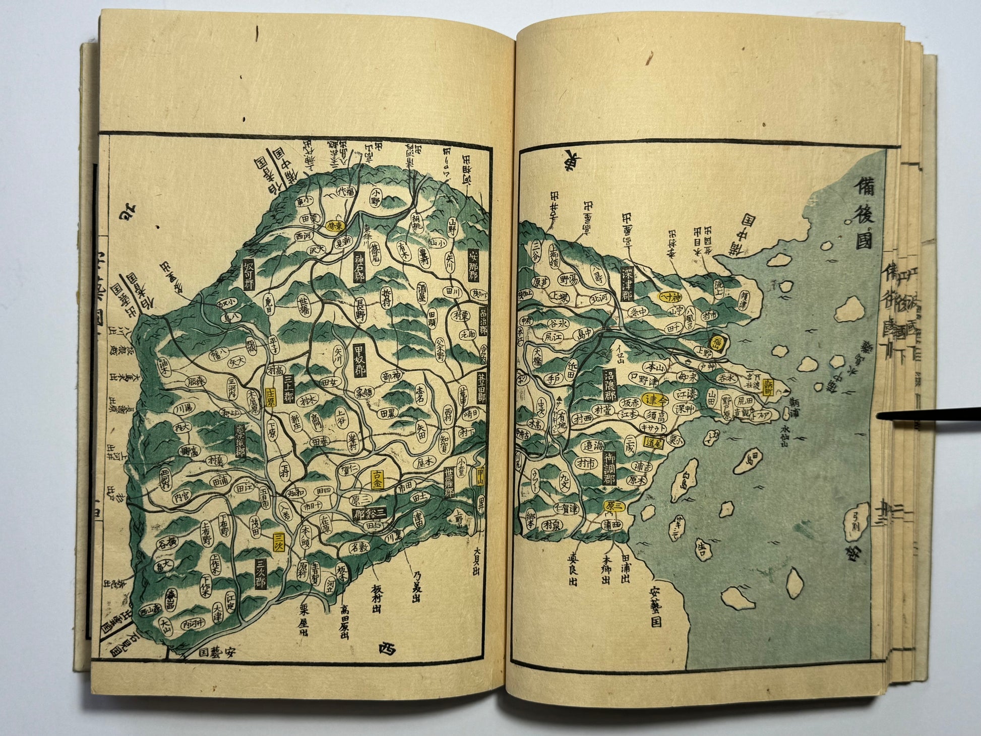
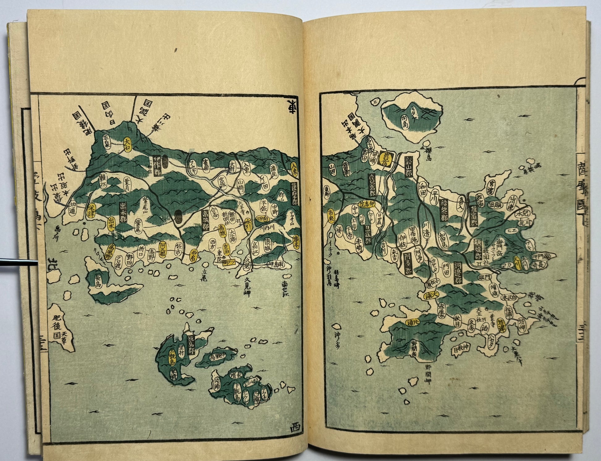
Early edition of this beautiful Atlas of Japan and its regions. Attractive printing using separate coloured woodblocks to print in yellow, green and blue. There is one map per province, but with a small number divided into several maps.
The order of the maps reflects the feudal system in Japan which existed for more than a thousand years. The maps are in the order of the Kinai (the five ancient provinces around the ancient capital Nara and Heian-kyo) and the seven circuits. This is the ‘gokishichido’ system of ‘five provinces and seven circuits’ feudal administrative system which was established in the 6th century. It remained in use until the abolition of feudal domains shortly after the Meiji restoration.
The Tokugawa shogunate had ordered a complete map of Japan and the more than 70 maps were produced by six cartographers for this atlas. This is said to be the first published atlas by province. The preface and legend indicate that the shape of each map was copied from Nagakubo Sekisui’s (1717-1801) ‘Revised complete map of Japan’s lands and routes’. Each map shows villages, roads and shrines and are an important record of a now lost Japan. This edition is the larger format on thick paper of the two editions published.
