De Bry Rare Books
“China” - Asia and Japan - Jodocus Hondius / Geradus Mercator
“China” - Asia and Japan - Jodocus Hondius / Geradus Mercator
Couldn't load pickup availability
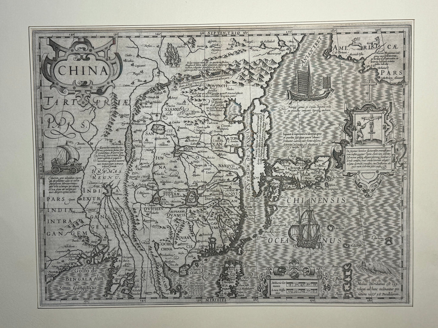
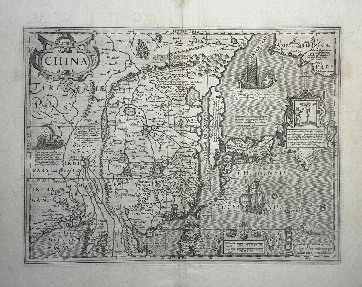
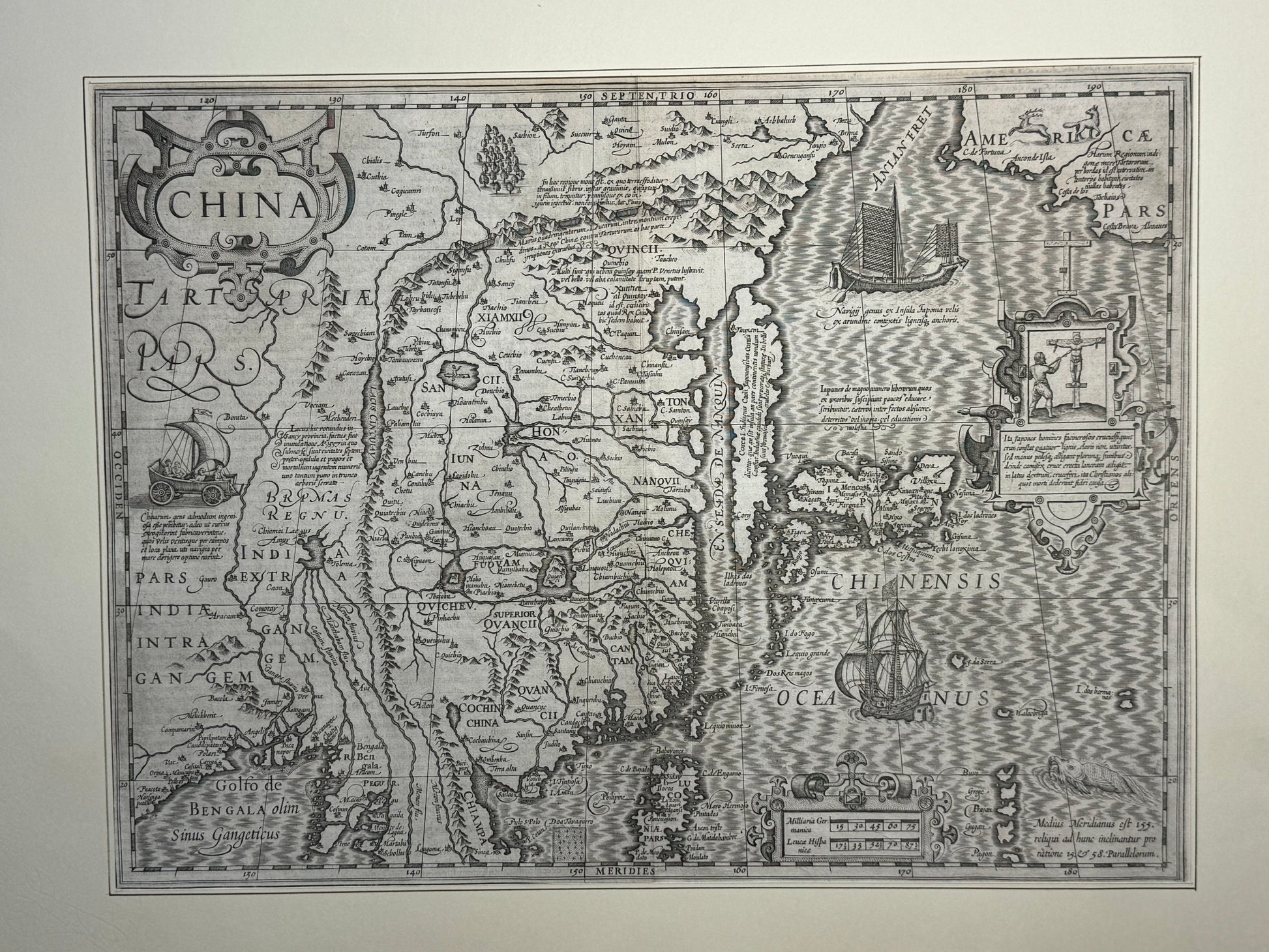
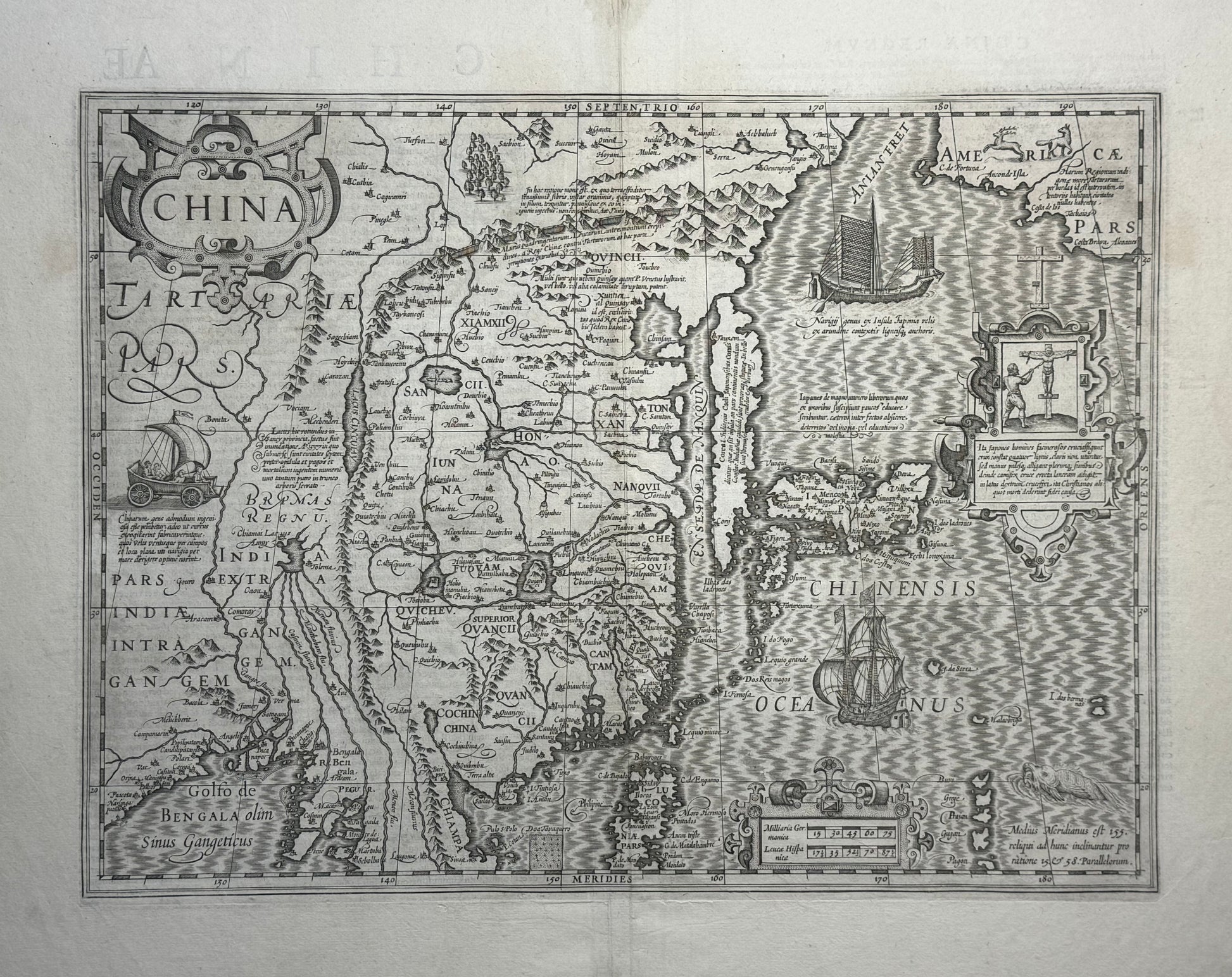
Map depicting Japanese persecution of Christians
“China”
Jodocus Hondius / Geradus Mercator - Atlas - 1606
430 x 590mm
Important and highly decorative map of China and Japan by Mercator/Hondius. Clear and dark impression in good condition with repair to old fold. The map is uncommonly found with a clear printing impression and without artificial modern colour.
This map is both beautiful and cartographically important as an early map of China and Japan.
The decorations show a European sailing ship sailing the seas while a wind powered land craft is shown on the Chinese mainland (a Chinese vehicle which was first popularised in the West by Marco Polo). A Japanese Junk is shown sailing through the seas while a cartouche shows the Japanese persecution and crucifixion of Christian missionaries (likely referring to the Martyrdom of 26 Christians in Nagasaki in 1597). Many coastline similarities with Linschoten’s early map of the area, which had used Portuguese sources, can be seen. Korea is suggested as an Island and inland lakes are shown in South East Asia and China.
Mercator died before the completion of his famous Atlas, but his sons were able to complete the atlas which was first published in 1595. The plates were later sold to Jodocus Hondius who continued publishing the Atlas into the 1630s as it was a commercial success.
