


DeBryRareBooks
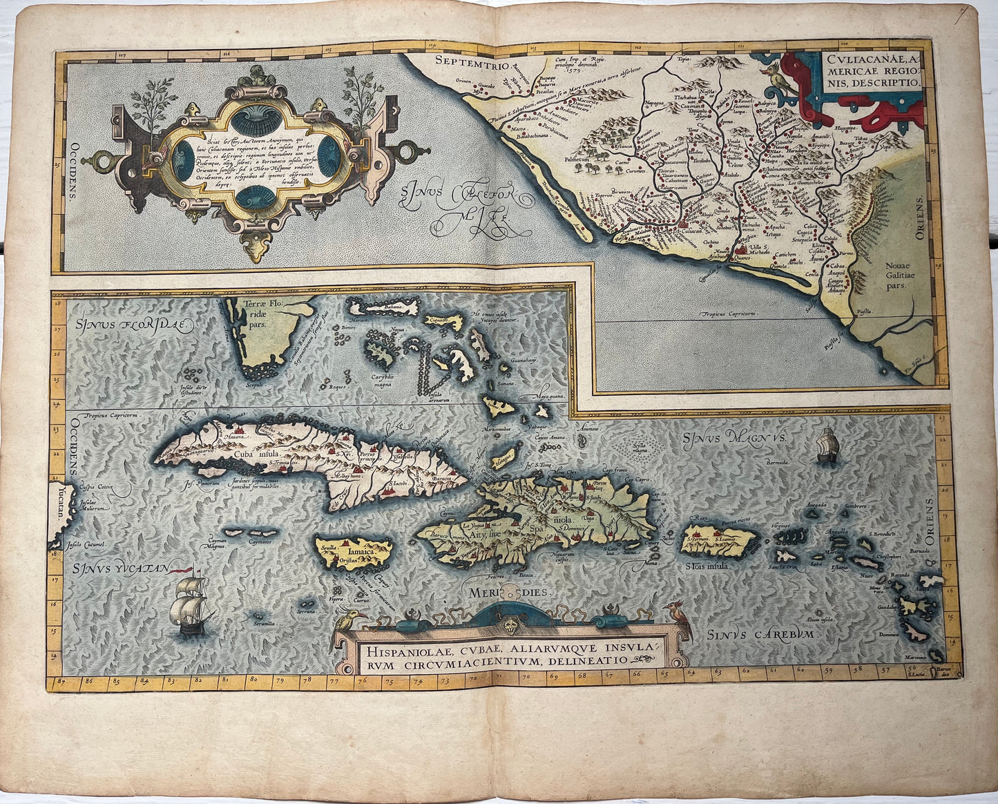
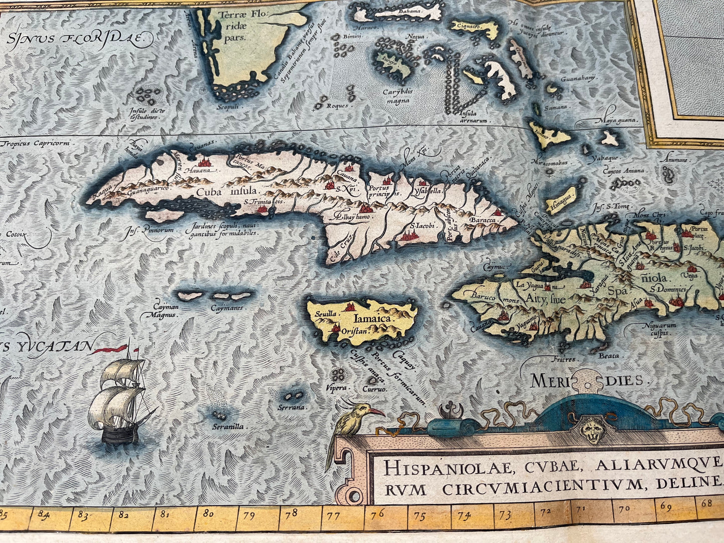
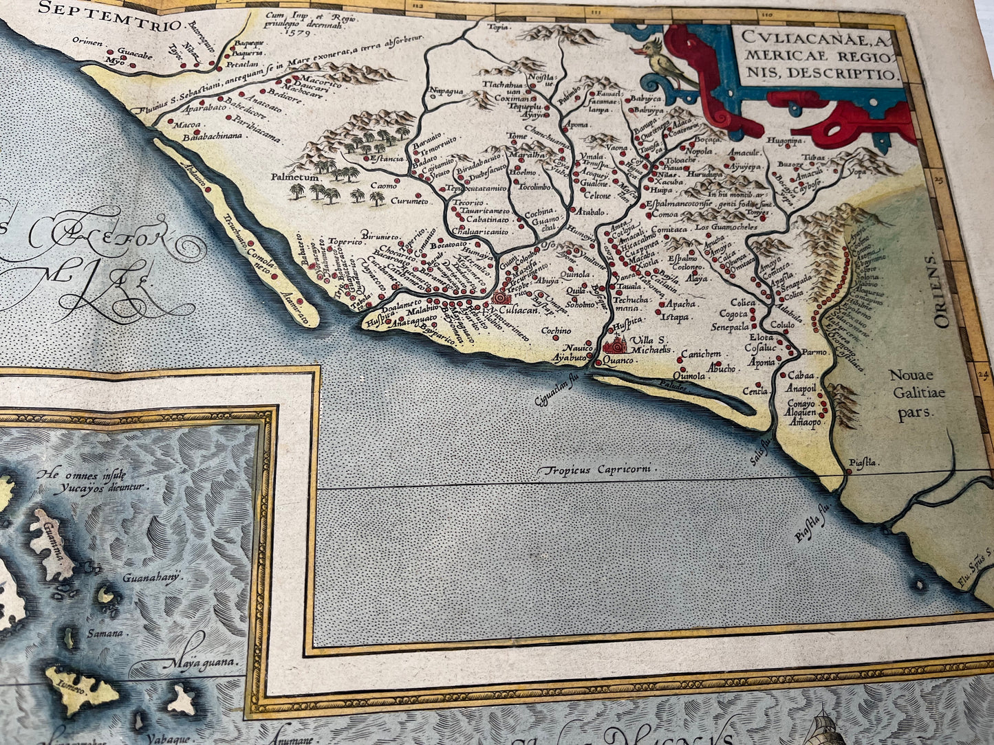
"Culiacanae, Americae Regionis / Hispaniolae, Cubae, Aliarumquae Insularum" - Mexico and the Caribbean - Ortelius - 1584
"Culiacanae, Americae Regionis / Hispaniolae, Cubae, Aliarumquae Insularum" - Mexico and the Caribbean - Ortelius - 1584
Couldn't load pickup availability
"Culiacanae Americae Regionis Descriptio. - Hispaniolae, Cubae, Aliarumquae Insularum Circumiacentium"
Two maps depicting North West Mexico and the Caribbean including Cuba, Jamaica, Hispaniola and the Antilles.
-1584
-Abraham Ortelius
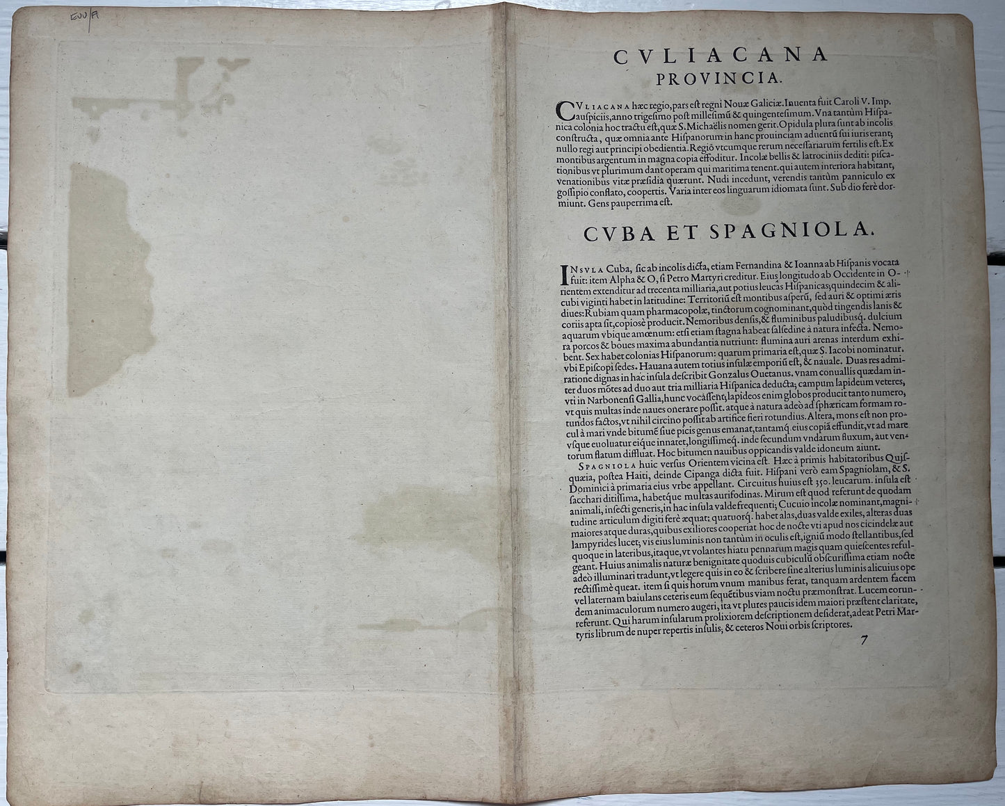
-Latin text of verso dating the map to 1584
-Large size of 54x44cm (approx)
-Very good condition. Some repair to centre fold and mild staining to edge of maps
-Beautiful colour
This early map depicts North west Mexico (Culiacán) and the Caribbean including Cuba, Jamaica, Hispaniola and the Antilles. It is one of the most detailed and beautiful early maps of the region and was drawn by Ortelius through bringing together contemporary sources. The map is embellished with elaborate cartouches and ships which is brought to life by the beautiful colouring.