De Bry Rare Books
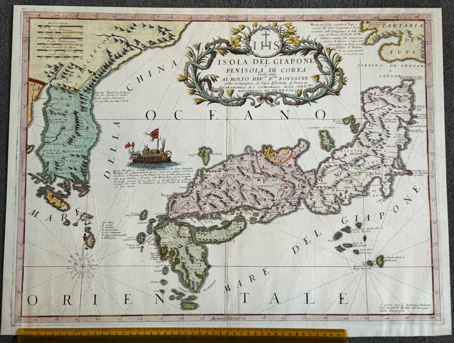
“Isola del Giapone e Penisola di Corea…” Vincenzo Coronelli (1650 – 1718) Atlante Veneto published in Venice c1690
“Isola del Giapone e Penisola di Corea…” Vincenzo Coronelli (1650 – 1718) Atlante Veneto published in Venice c1690
Couldn't load pickup availability
“Isola del Giapone e Penisola di Corea…”
Vincenzo Coronelli (1650 – 1718)
Atlante Veneto published in Venice c1690
430 x 590mm
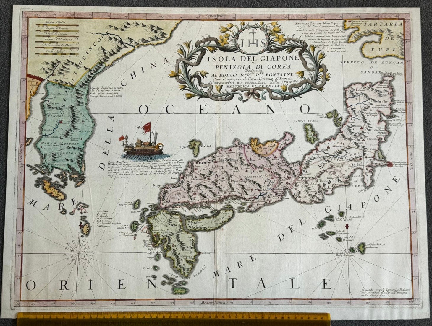
Important and decorative map of Japan and Korea – here in modern colour. Old fold and some creases but otherwise very good condition
Vincenzo Coronelli was a Franciscan Priest in Venice, and one of the most celebrated cartographers of the 17th Century. He is best known for designing and producing large globes for King Louis XVI of France
This map used contemporary Jesuit cartographic information, as well as Dutch sources, to create a relatively accurate depiction of the Islands of Japan and the peninsula of Korea (which was sometimes portrayed as an Island on earlier maps) for the time. Europeans mainly traded through Nagasaki, at the South of the Japan, so the area around this trading post is always the most accurate on early maps. Initially the Portuguese had access to Nagasaki, but from 1641 until Admiral Perry’s arrival in 1854, only the Dutch had access to the port. Areas in the North of Japan, including Hokkaido, were poorly known and the mapping remains inaccurate.
Some nice decorative touches on this map are the Japanese boat with 20 oarsmen, and the Jesuit dedication above the main cartouche.


