


De Bry Rare Books
Linschoten's Itinerario - 1st French Edition 1610 - Complete text and 6 maps - Goa / India
Linschoten's Itinerario - 1st French Edition 1610 - Complete text and 6 maps - Goa / India
Couldn't load pickup availability
Linschoten’s Itinerario – The Book which Opened European Trade to the East
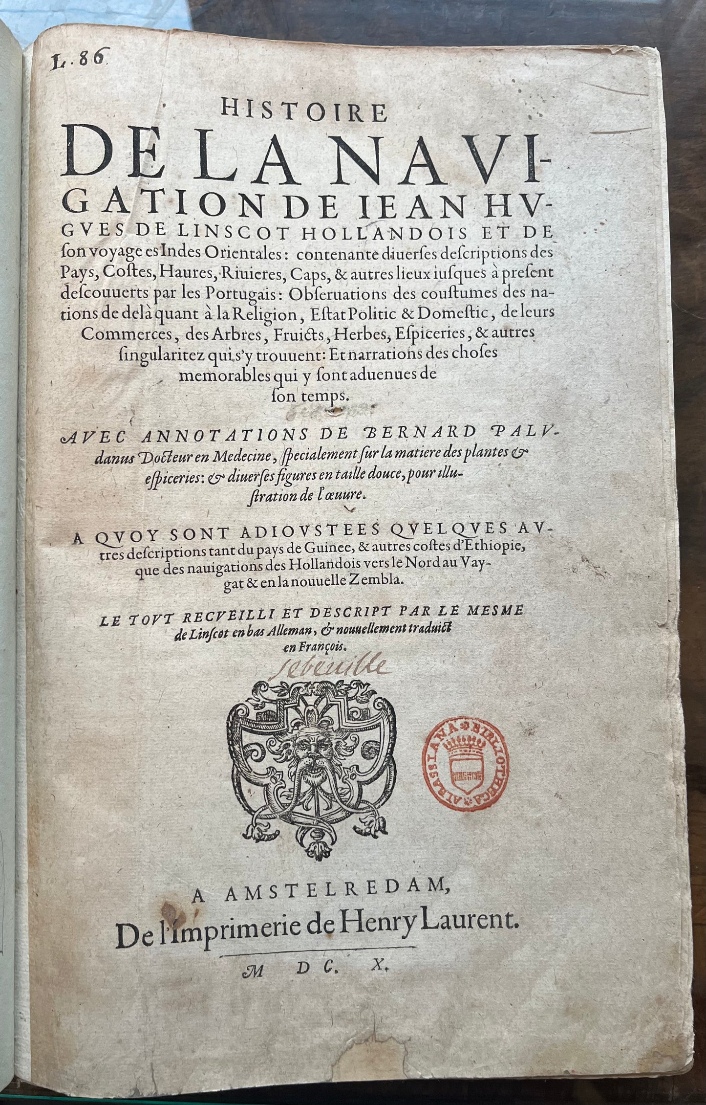
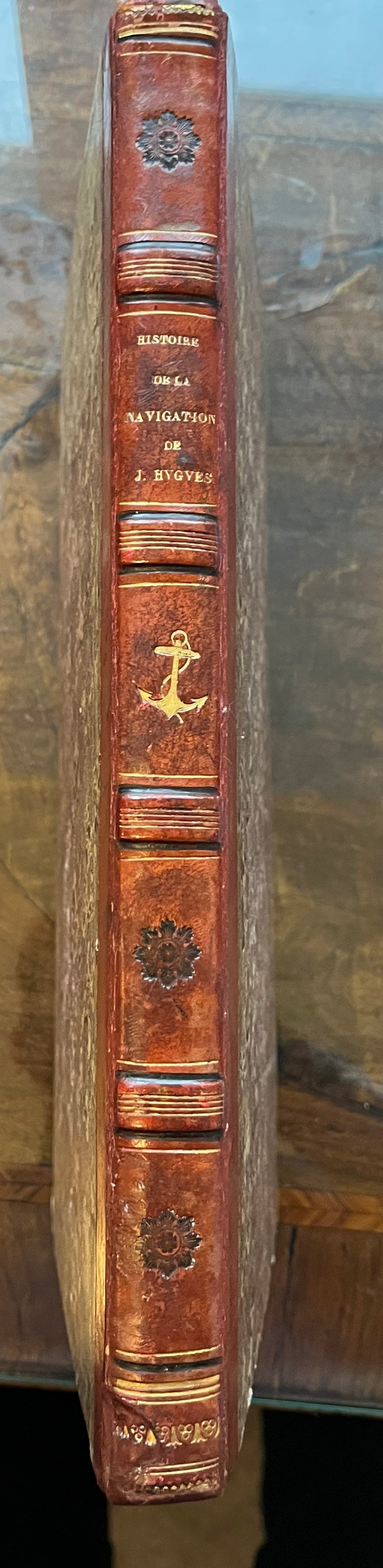
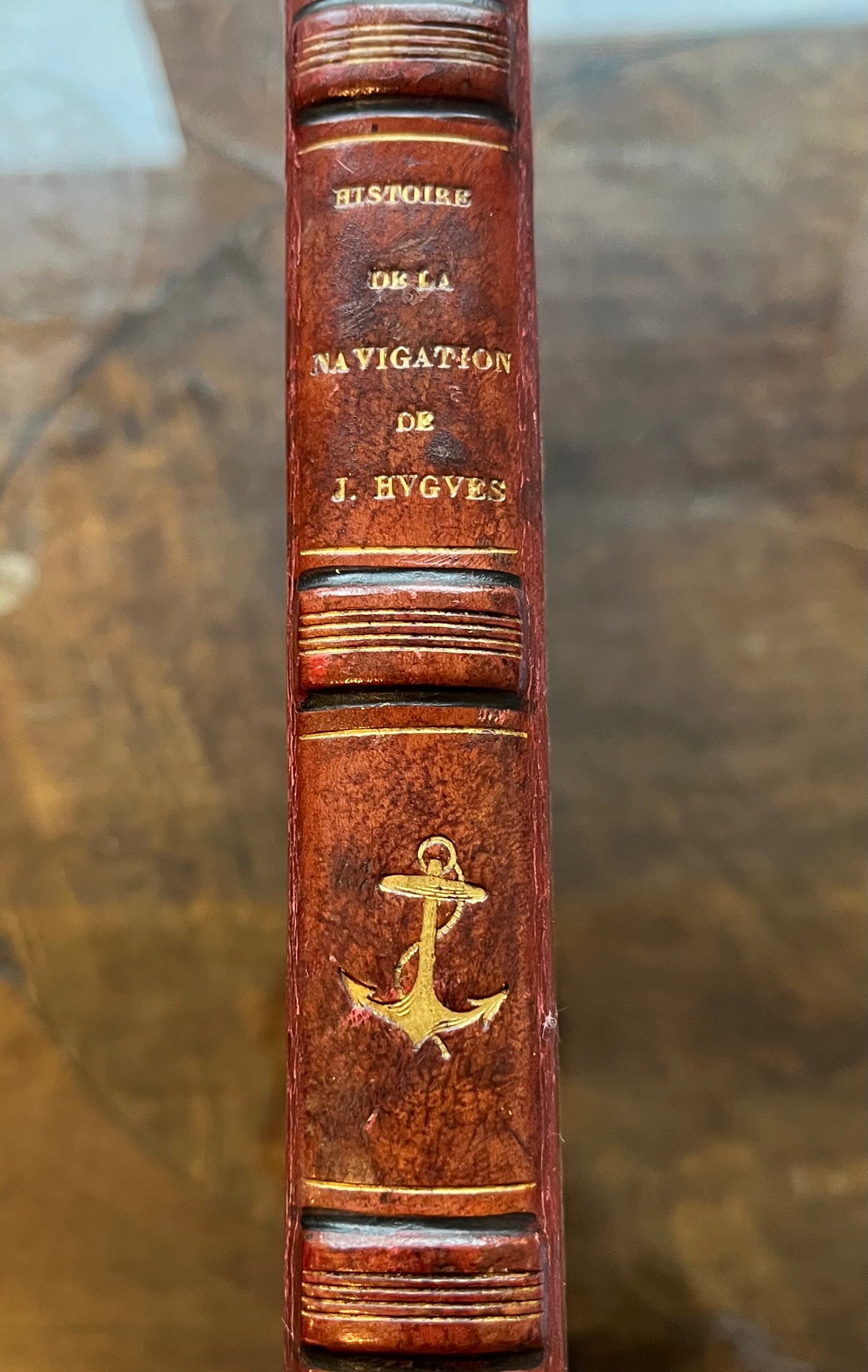
Histoire de la navigation de Jean Hugues de Linschot Hollandois et de son voyage es Indes Orientales: Contenante diverses Descriptions des pays, costes, haures, rivieres, caps et autres lieux jusque a present descouverts par les Portugais...
Jan Huygen van Linschoten
Amsterdam - Henry Laurent – 1610
(1st French edition)
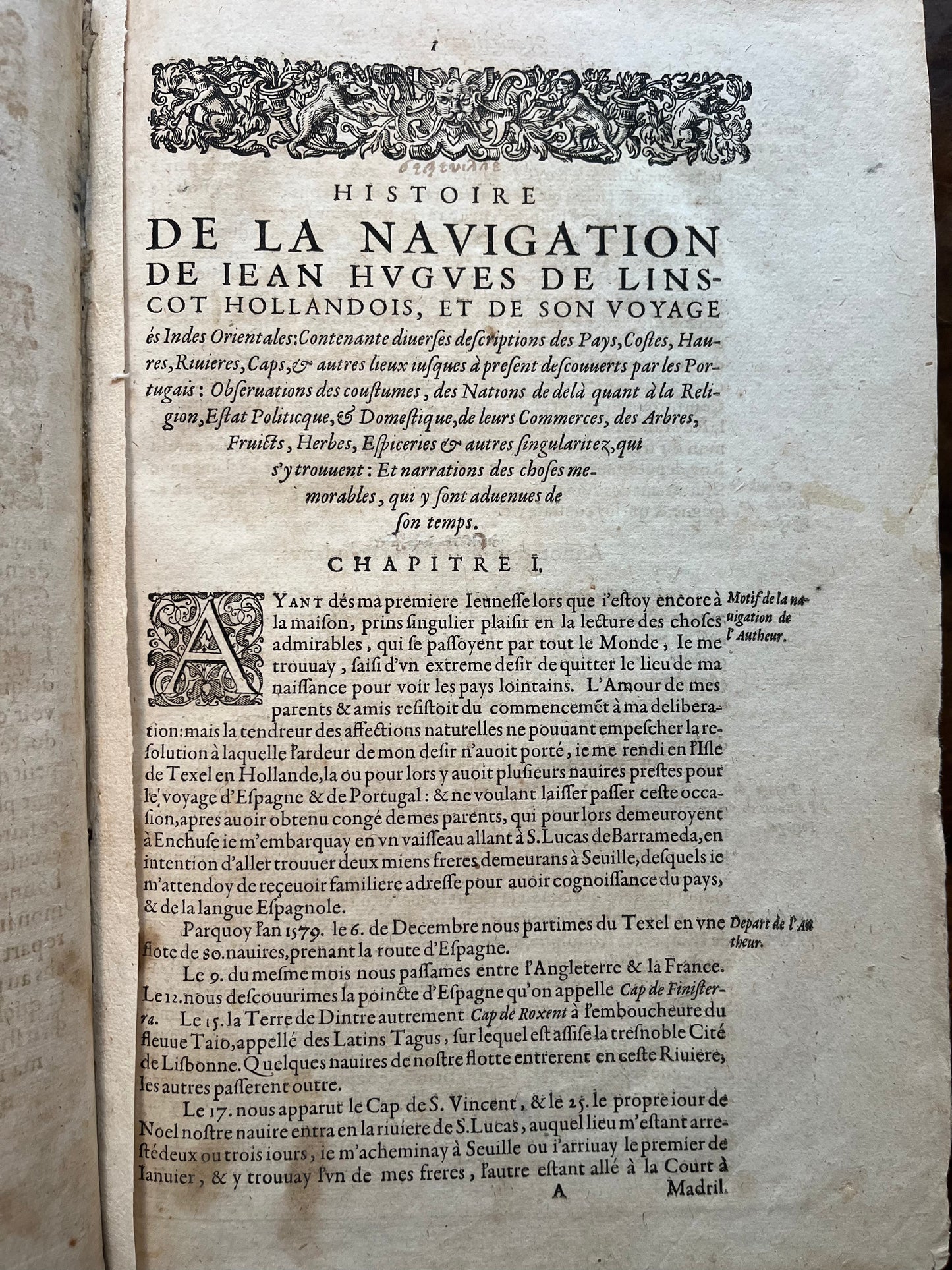
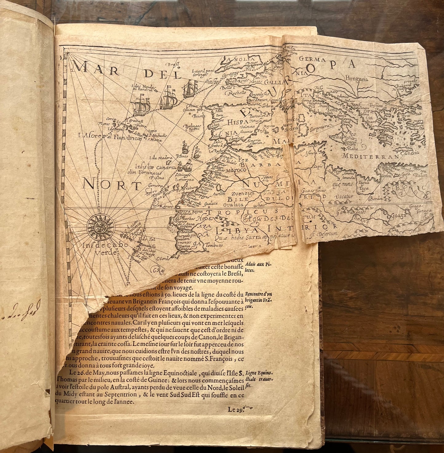
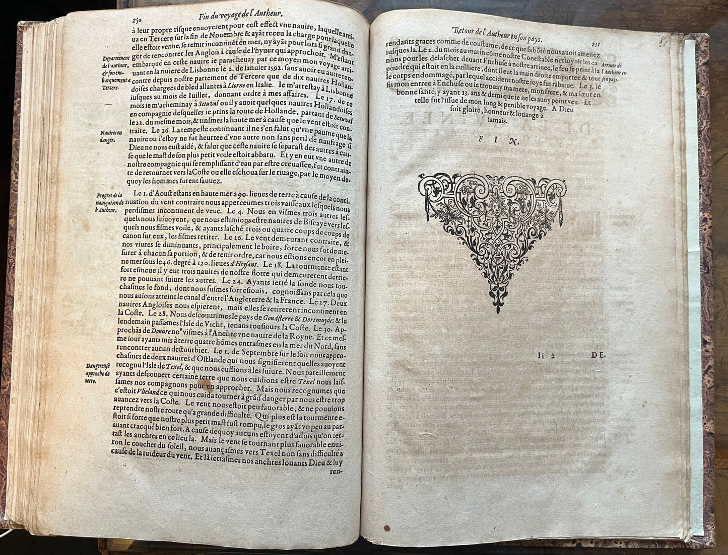
Folio, (30 x 20cm approx ). TP,[1]. 1-275
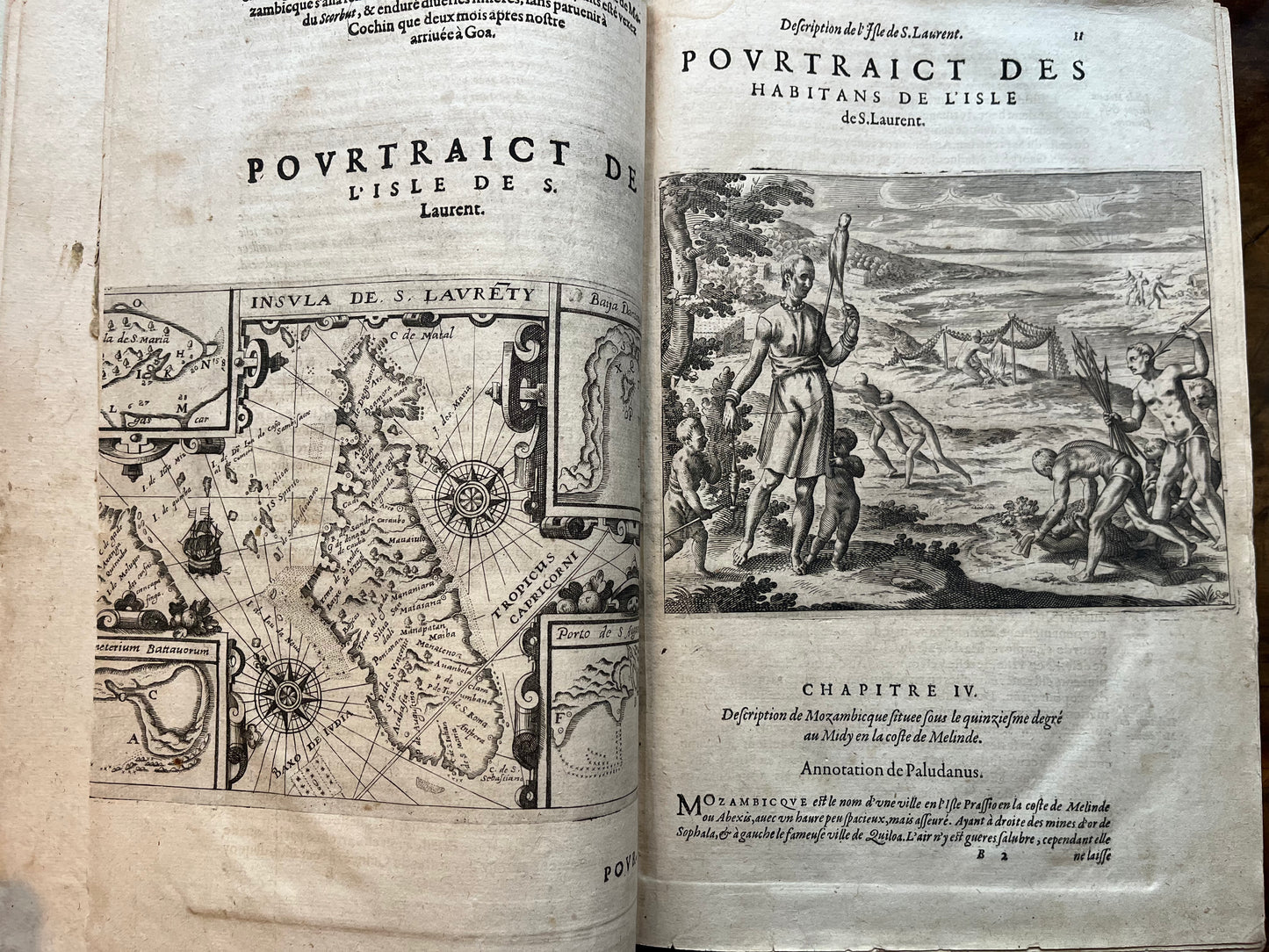
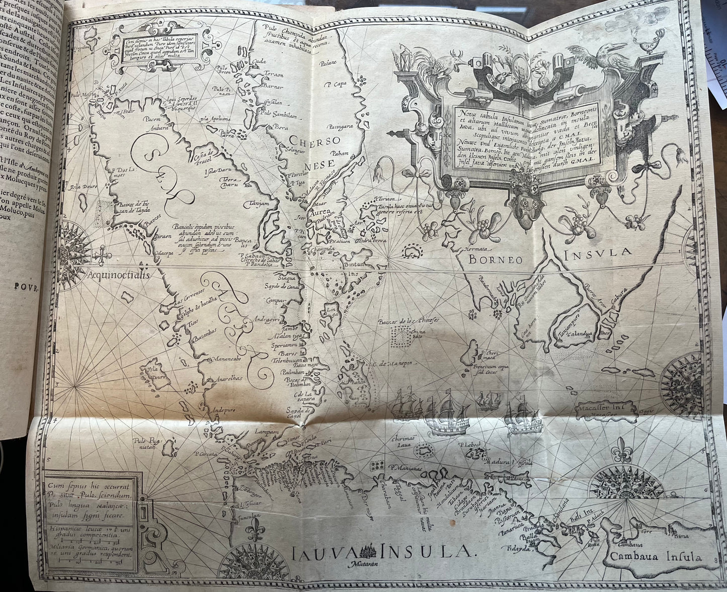
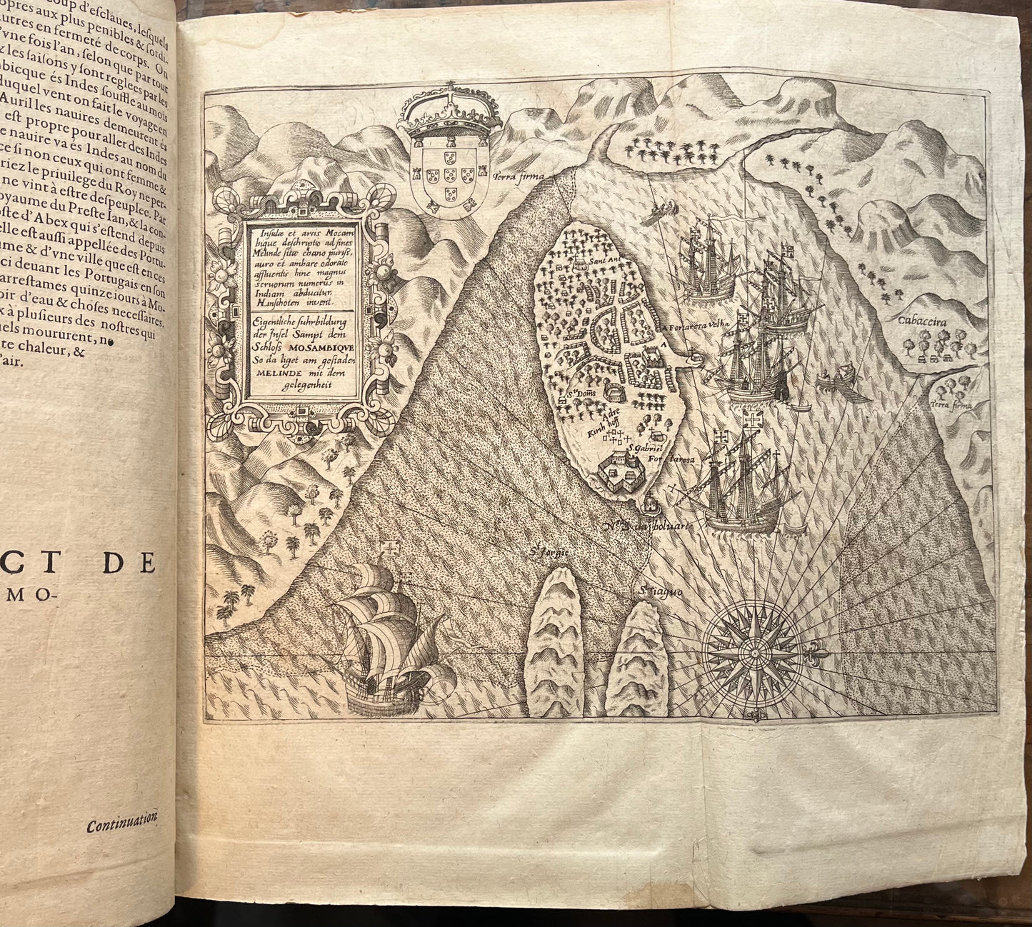
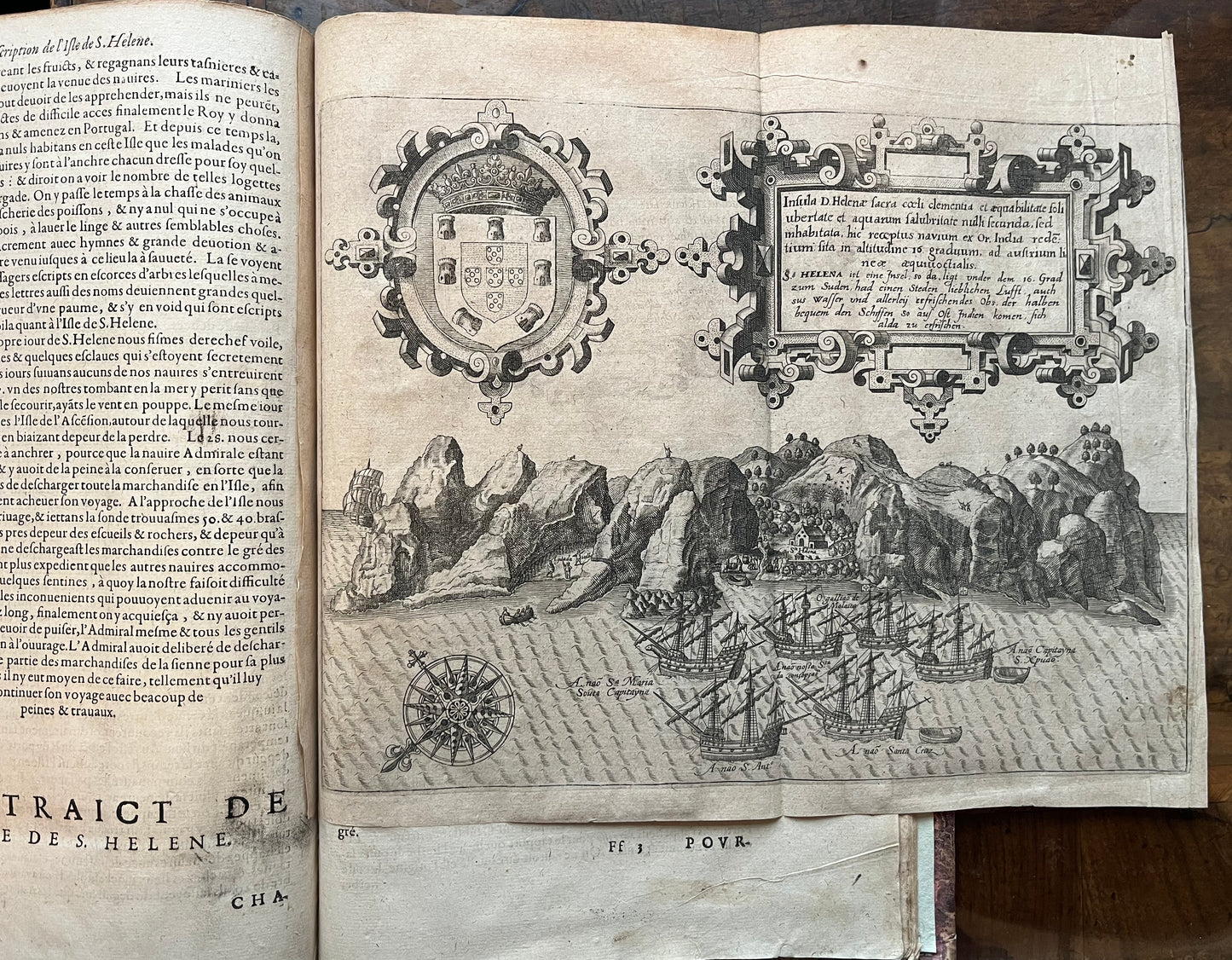
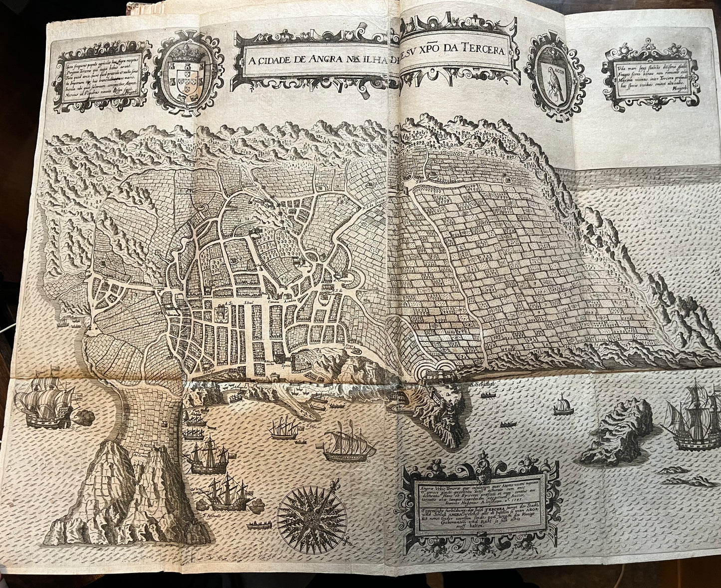
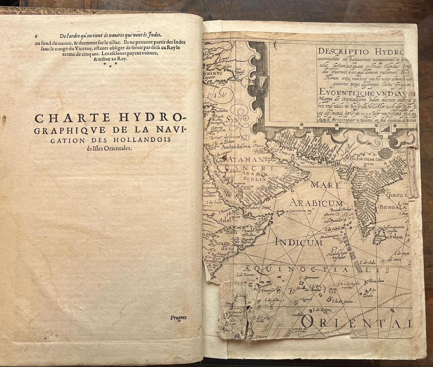
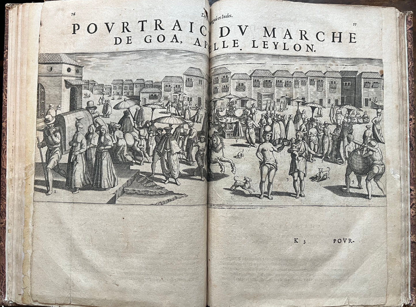
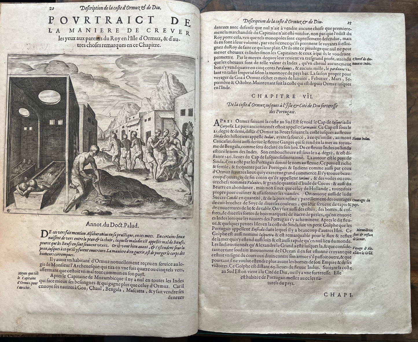
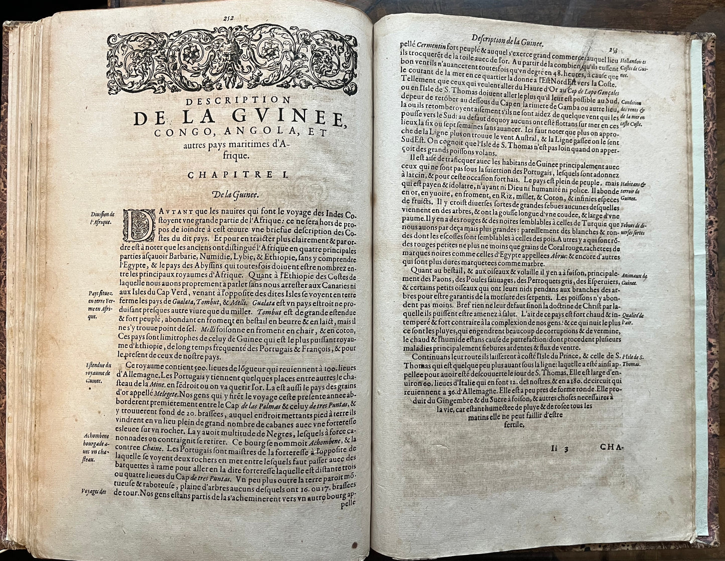
Complete with 6 (of 6) folding maps and 58 (of 58) beautiful plates and maps in text drawn by Linschoten and engraved by De Bry.
The maps are
-Goa
-Azores (Tercera)
-St Helena
-Mozambique
-Nova Tabula Insularum Java (Heavily restored)
-Descriptio Hydrographica (Damaged)
This hugely important work was published after Linschoten's extended stay in Portuguese Goa where he worked for the Viceroy. Here Linschoten learnt much about the inhabitants and culture in the East which he used to describe trade opportunities, with China, Japan and the Spice Islands. This information was hugely important and allowed the Dutch, and later the English, to break the Portuguese trade monopoly in the East.
19th Century binding in quarter leather with red morocco spine. pages 76-77 (plate of Goa) trimmed and shorted than other pages ?inserted from another copy. Repairs and creases to title page. Java map with significant restoration and facsimile to around 1/3 of lower portion of map. Significant losses to Descriptio hydrographica with only around 1/3 of map remaining.
An uncommon work, here with complete text and plates, but damage and losses to two of the maps - priced accordingly.
Muller, America 2193 / Tiele, Memoire S. 94f / Alden/Landis 610/69 / Borba de Moraes I, 489. Sabin 41369