De Bry Rare Books
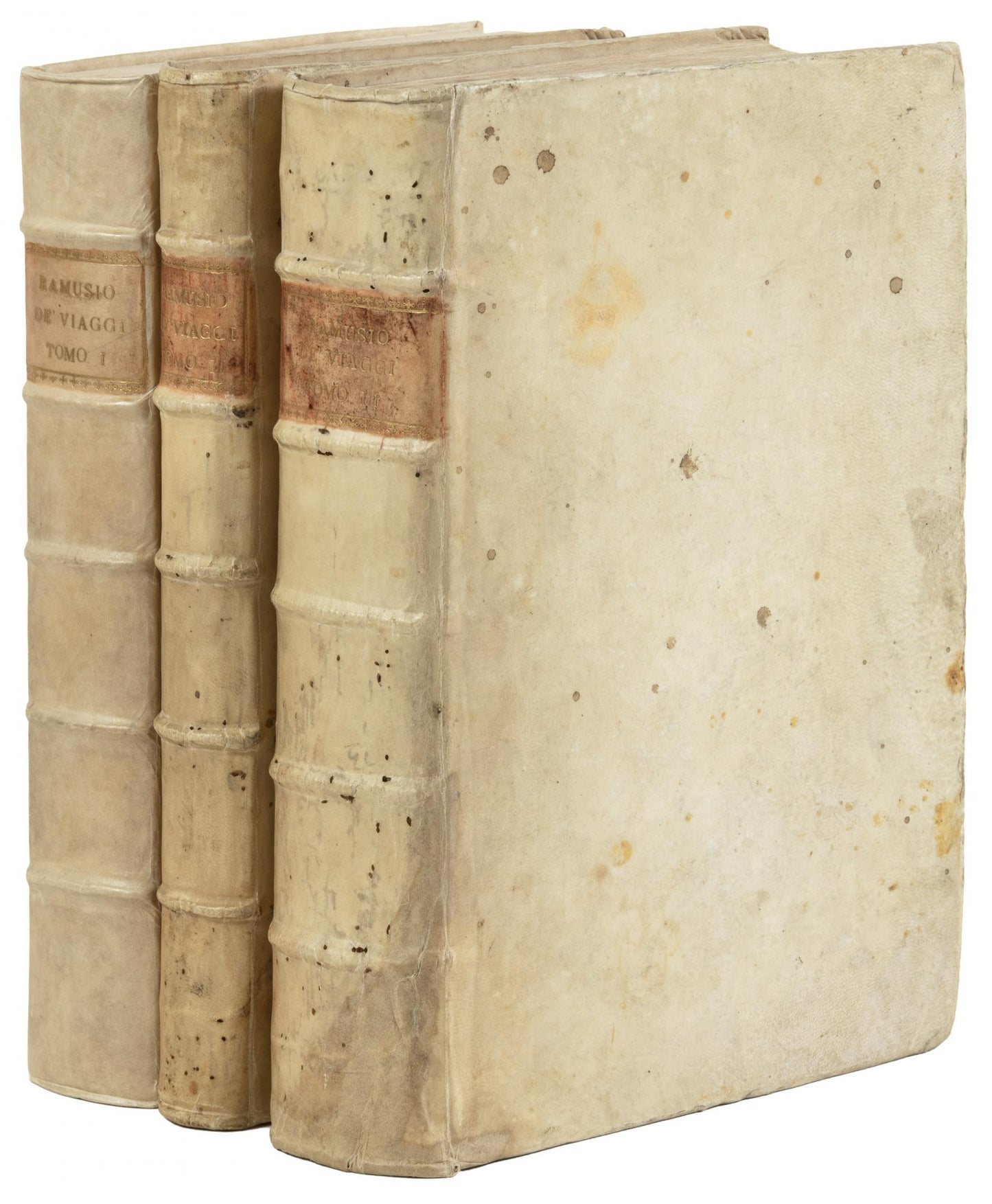
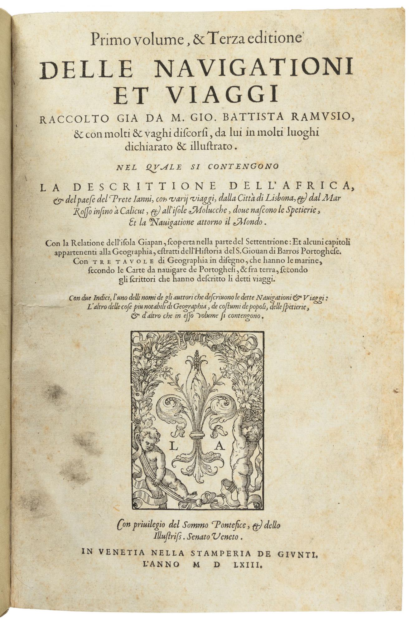
Ramusio - Delle Navigationi et Viaggi - Complete three volumes with 10 double page maps 1563, 1574, 1556. Rare FIRST EDITION of the Third Volume on the Americas
Ramusio - Delle Navigationi et Viaggi - Complete three volumes with 10 double page maps 1563, 1574, 1556. Rare FIRST EDITION of the Third Volume on the Americas
Couldn't load pickup availability
“Includes the earliest widely disseminated description of Japan in the West - Five early Jesuit letters from Japan”
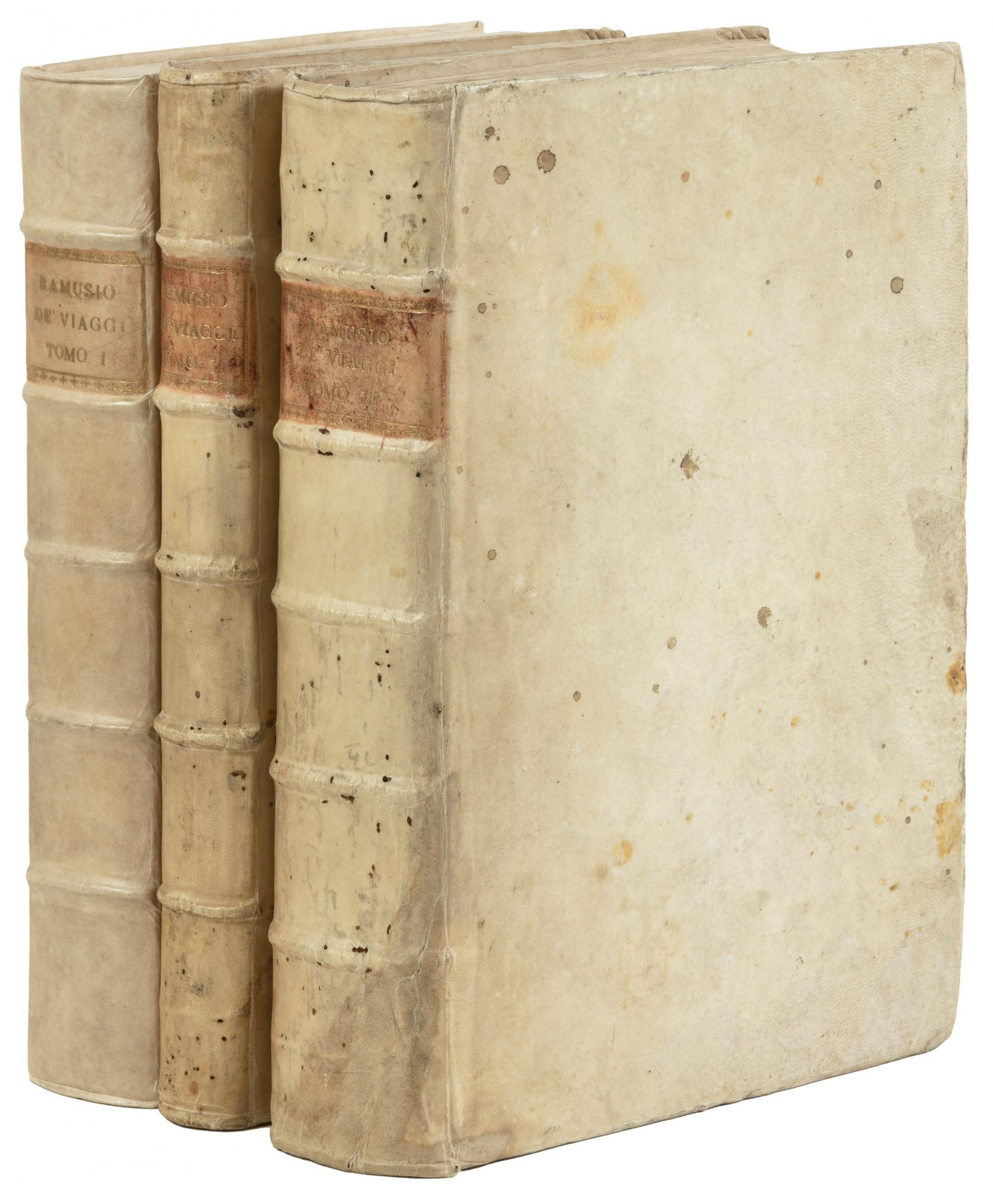
"Delle Navigationi et Viaggi” – Three volumes: 1563, 1574 , 1556
-Giovanni Battista Ramusio, Venice - Stamperia de Giunti
Ramusio's immense compilation is the most important travel collection of the 16th Century. As secretary to the Council of Ten in Venice for 43 years, Ramusio had access to and collected together accounts of global voyages of the period. Nearly all the important early voyages in the age of discovery are present in this work , including those of Columbus, Da Gama, Marco Polo and Magellan.
Japan is described in Volume one with five early letters entitled “A description of the newly discovered Island in the North called Japan”. The introduction by Ramusio states that little is known about this Island “recently discovered by Portuguese merchants” and his account would become ”one of the most sited references throughout Europe in the 16th Century” (Gandini 2013). The five letters were written by the Jesuit priests Francis Xavier, Nicolao Lancilotto, Francesco Perez and Giovanni D’abera who travelled from Portuguese India and Malacca to Japan between 1548 & 1550. The letters highlight the Jesuits’ zeal in converting this newly discovered nation “which is an island pressed to China where all are Gentiles, with very curious people who are desirous of learning new things from the Lord”. Japan is described as a politically unified and organised society ripe for conversion, despite the instability due to waring between rival Daimyos in Japan at this time.
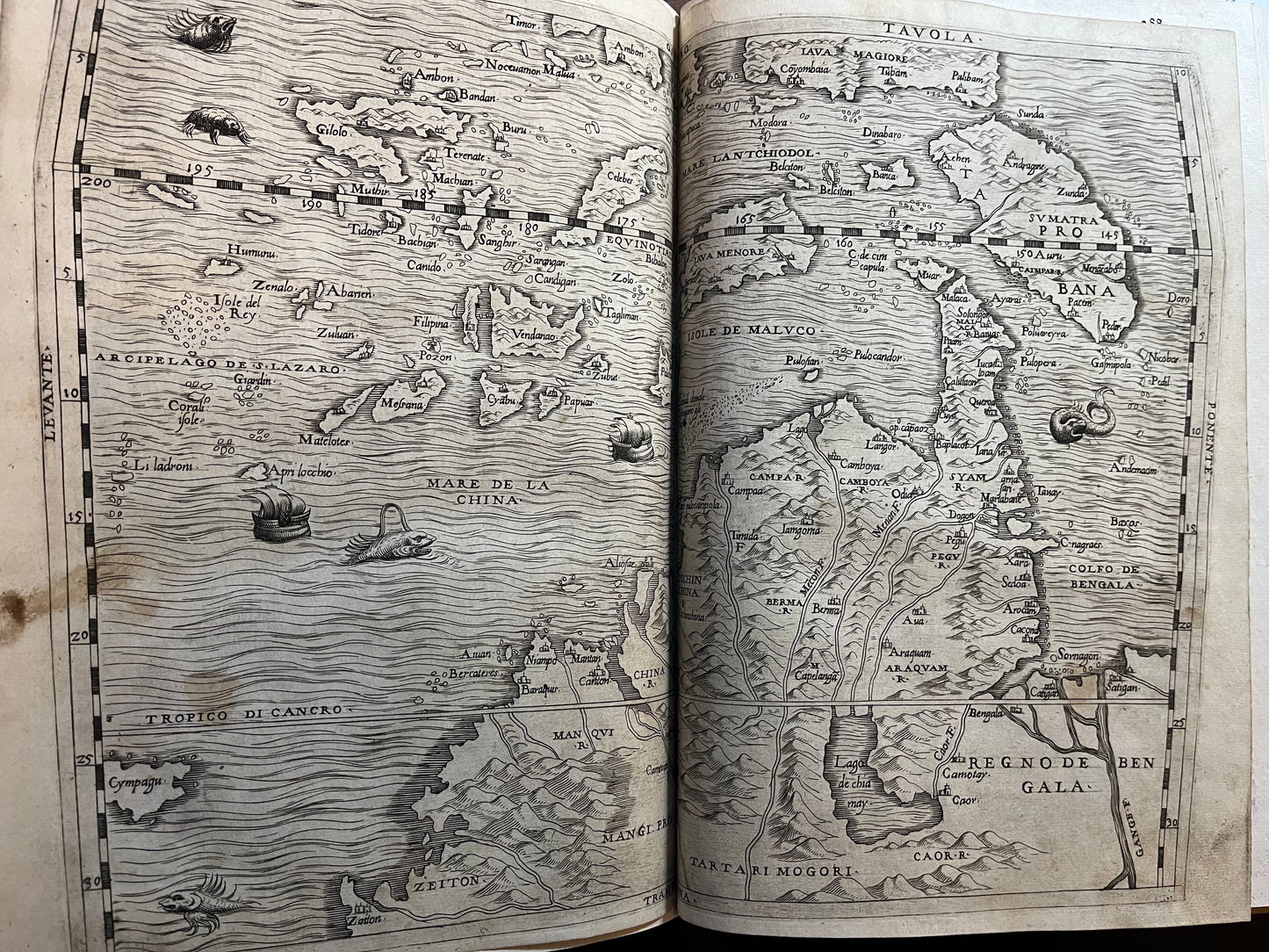
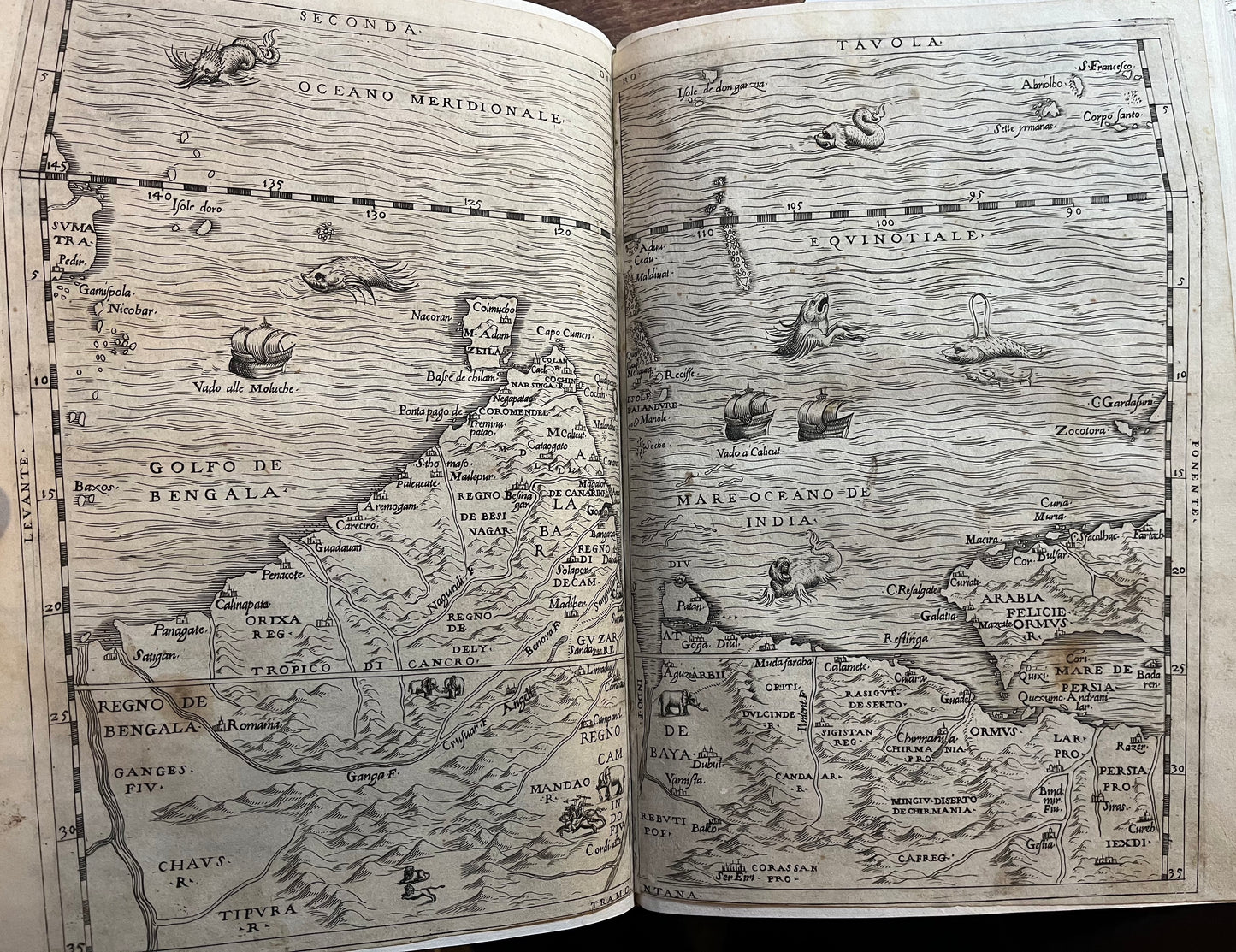
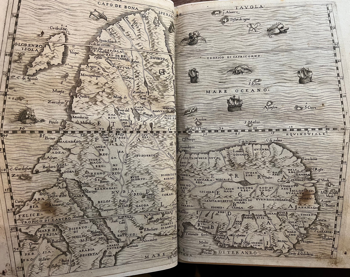
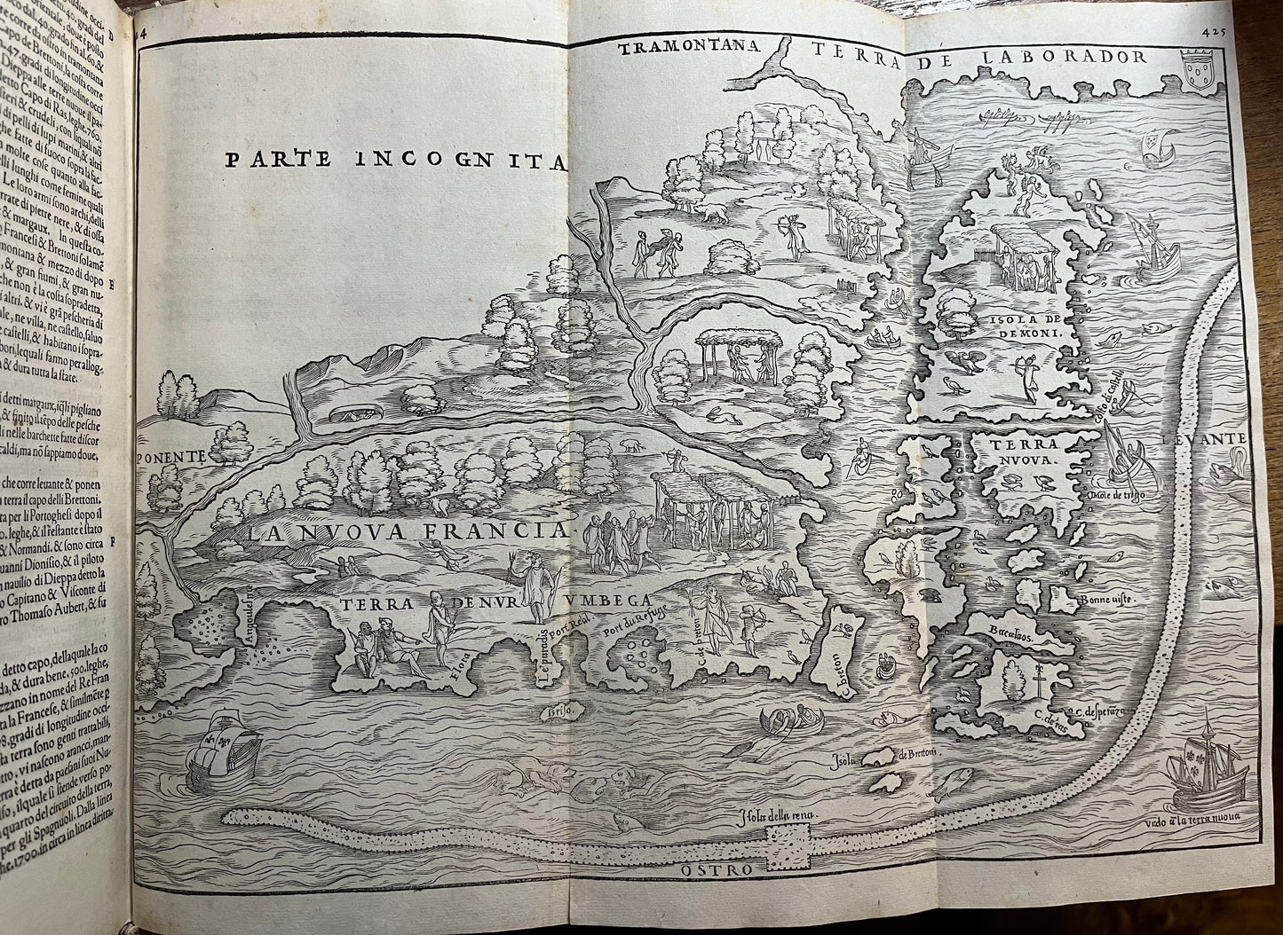
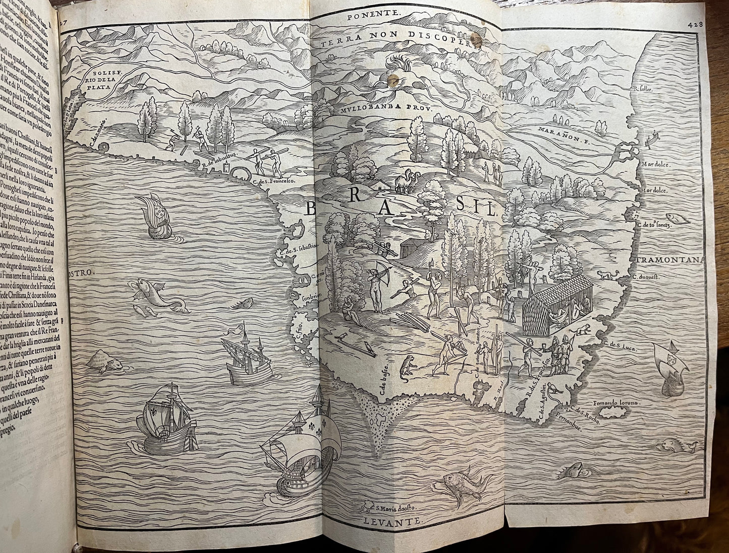
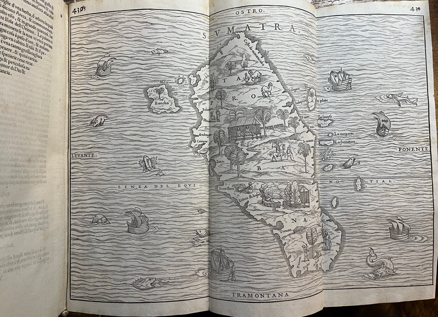
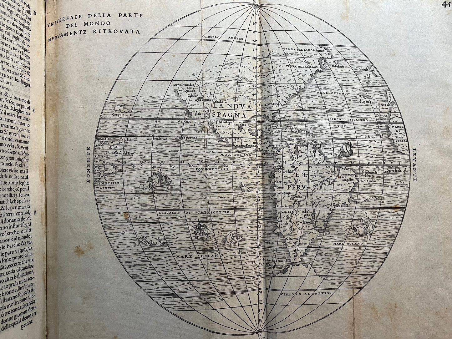
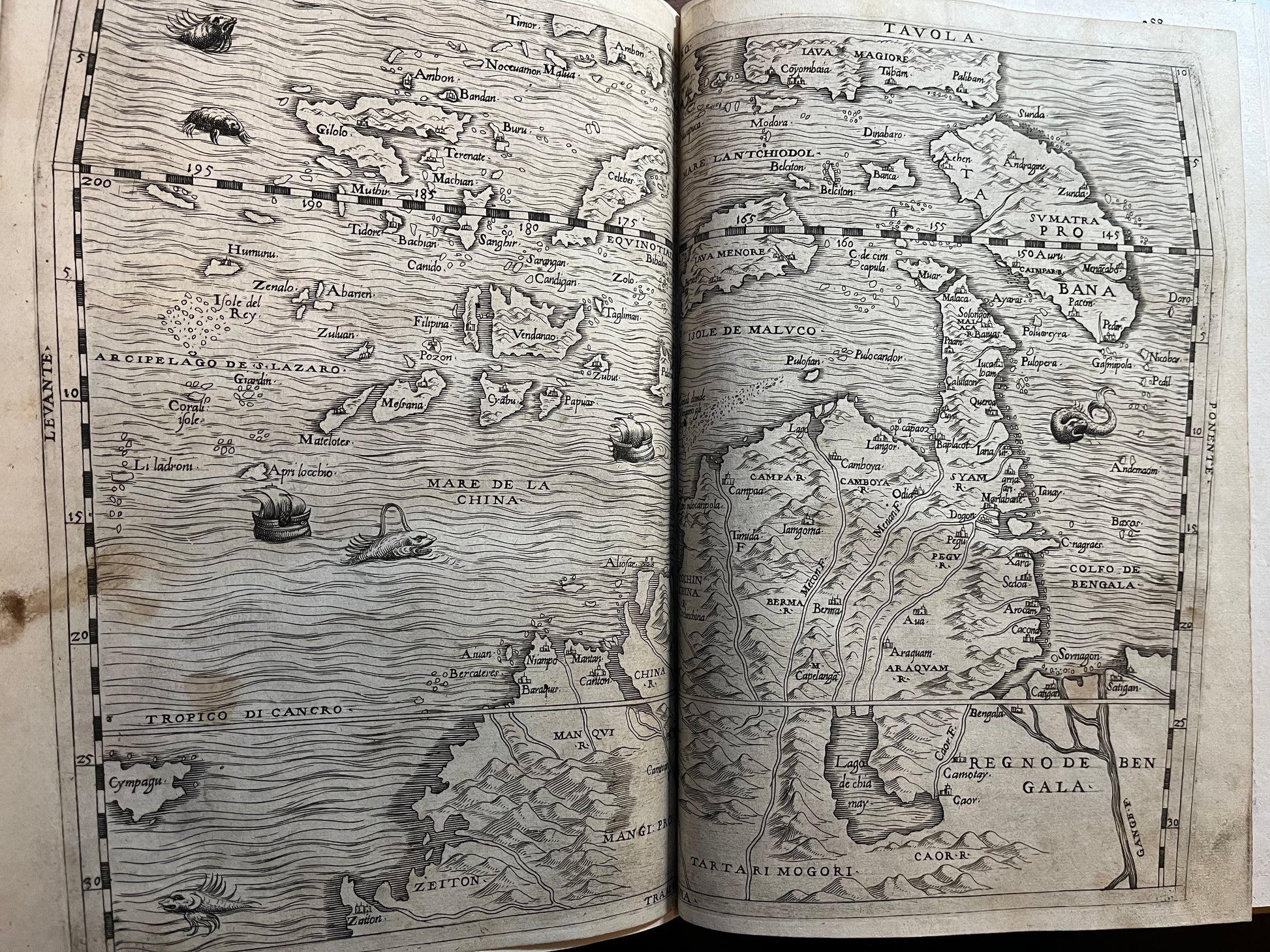
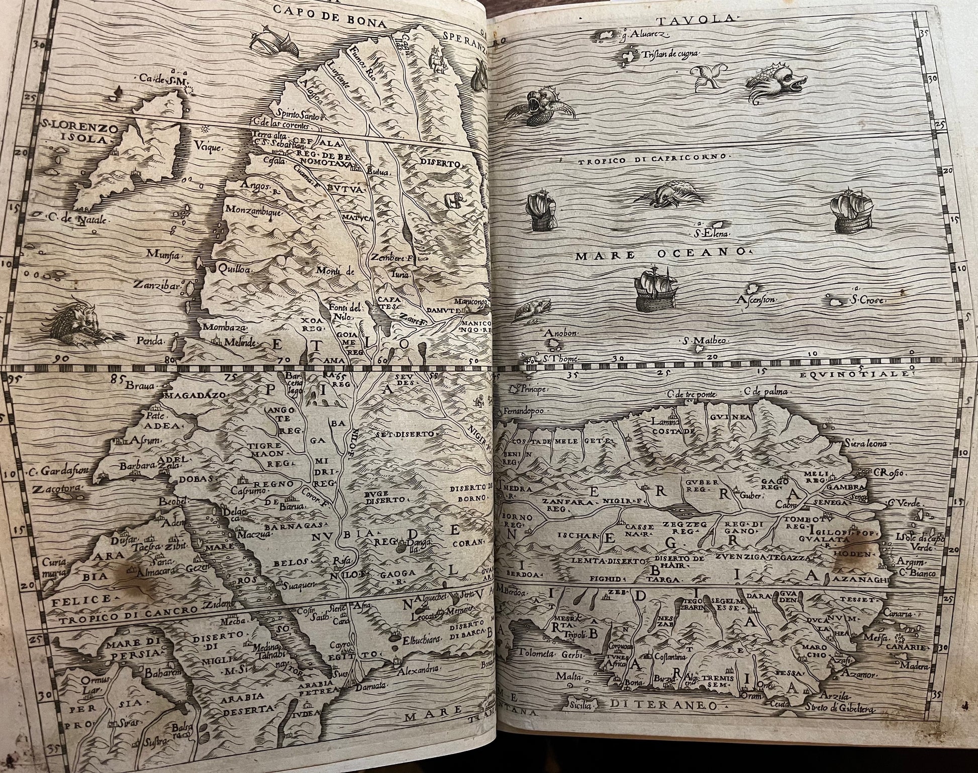
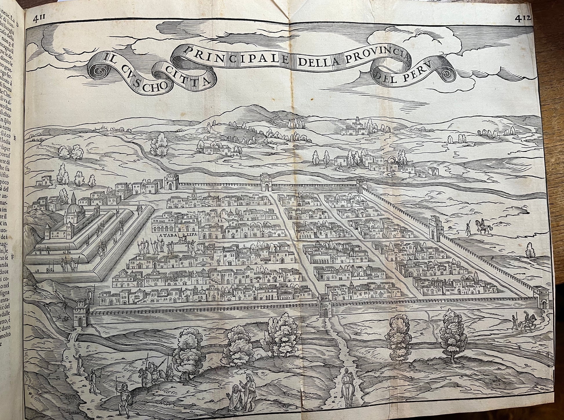
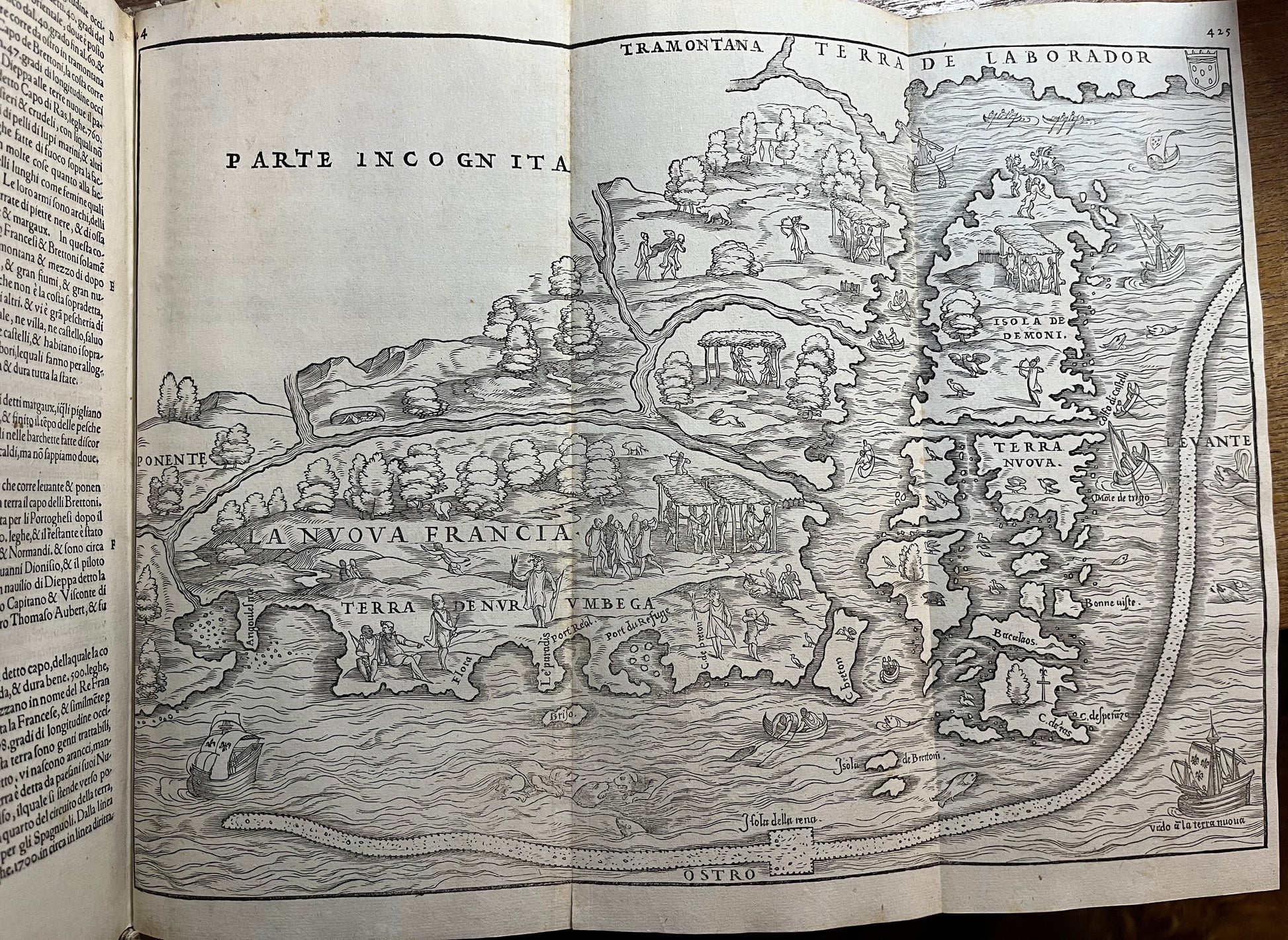
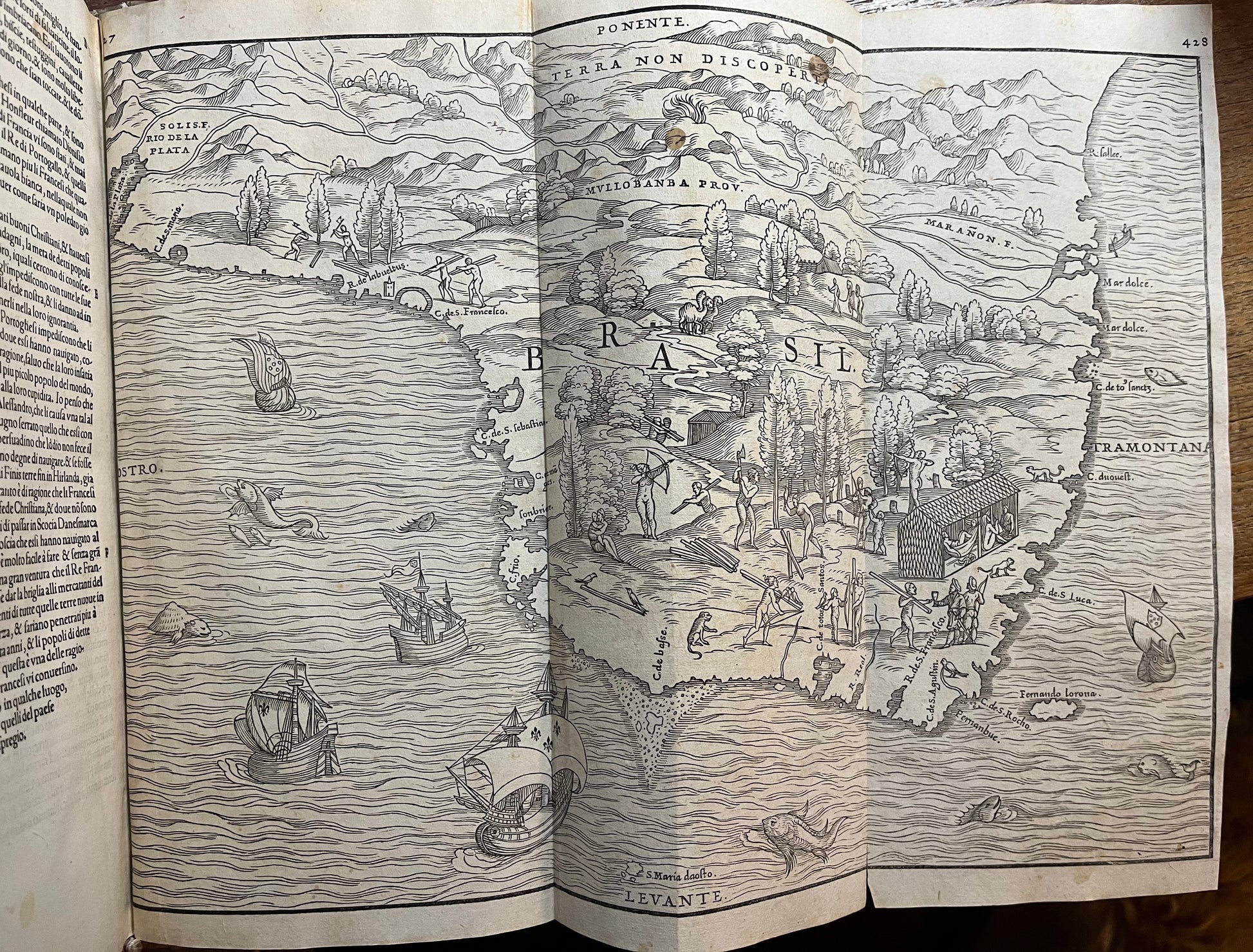
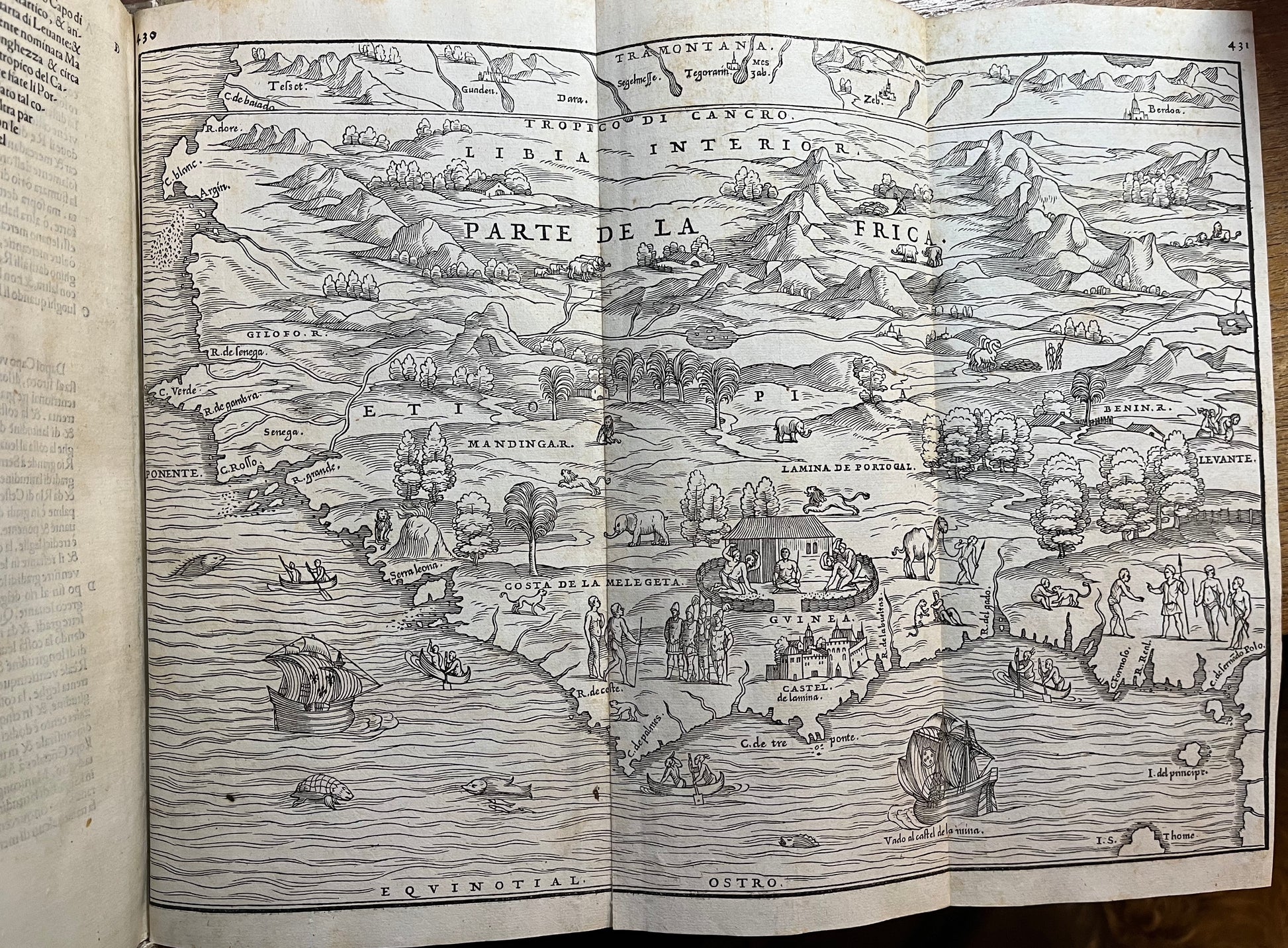
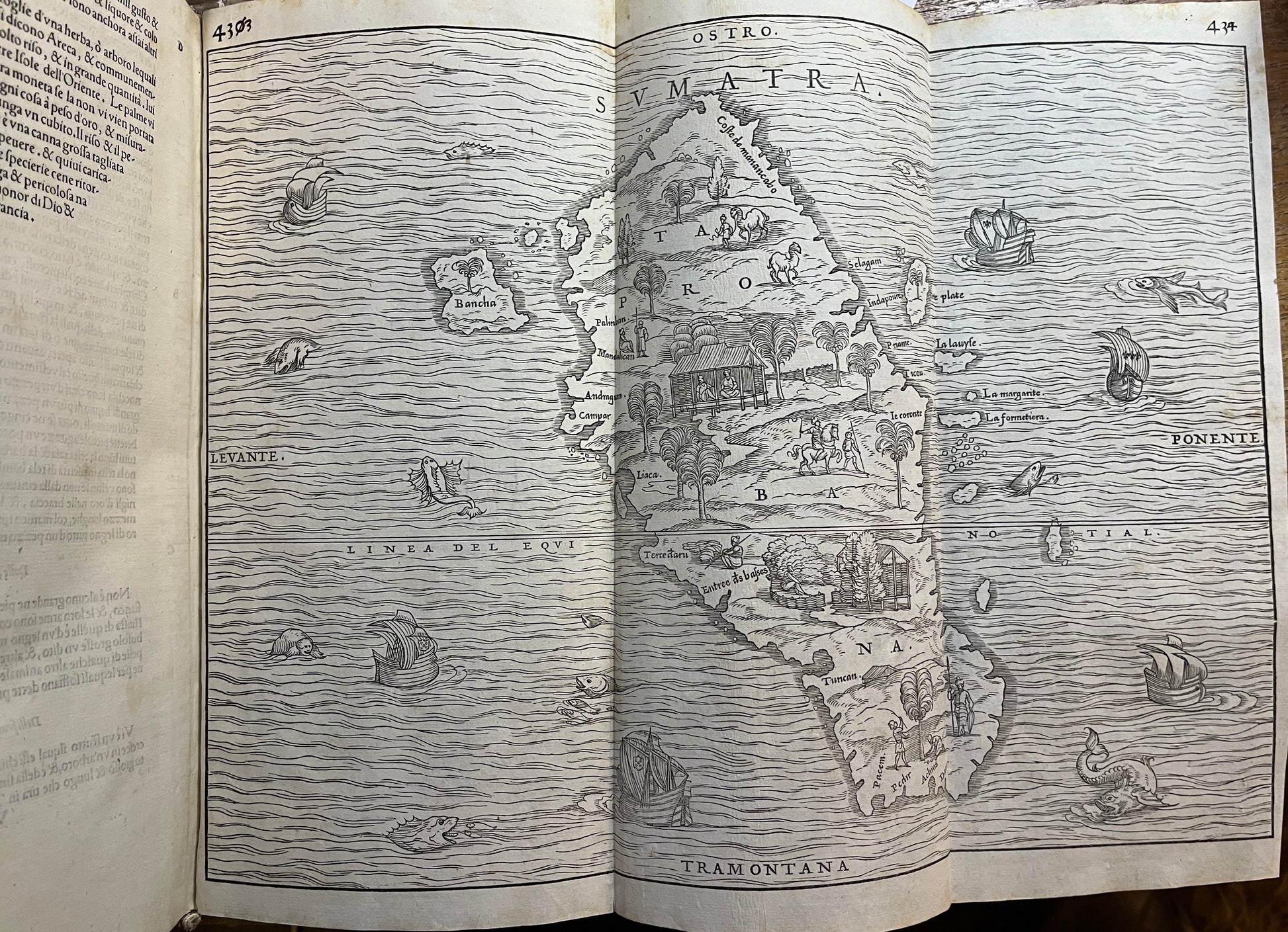
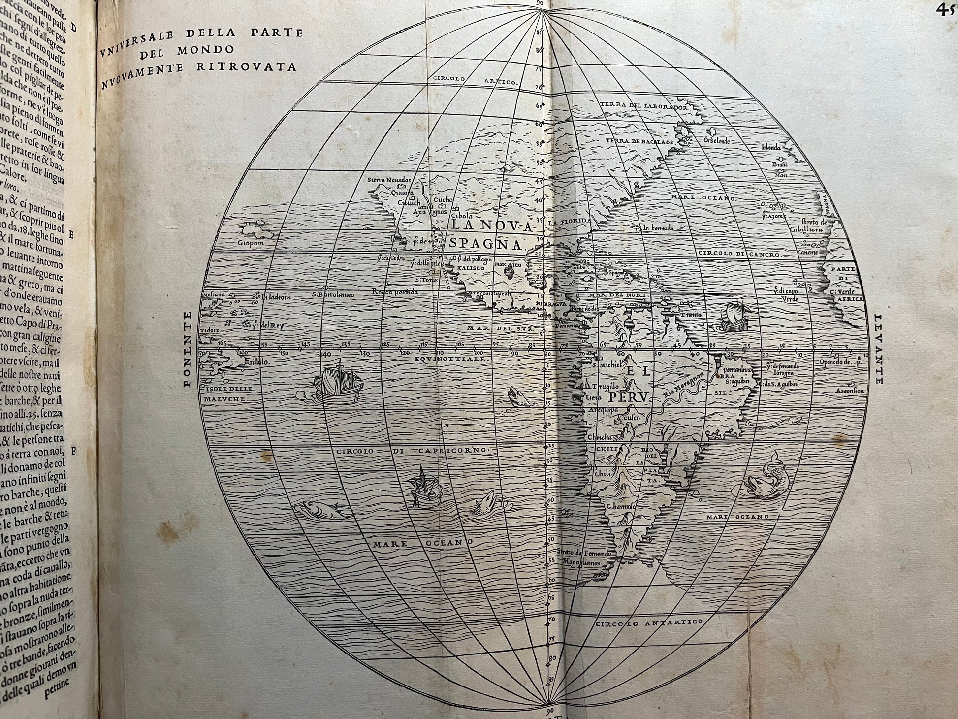
The maps included in the volumes are landmark maps produced by the geographer Gastaldi. The map of South East Asia is particularly important as it is one of the first to depict Japan - with an inaccurate coastline and named “Cympagu”- and the first to name the Philippines "filipina". The maps of the Americas and Africa in the third volume are here in the RARE 1st STATE from 1556. The woodblock of this state was destroyed in a fire in 1557 so all subsequent editions were created using different woodblocks.
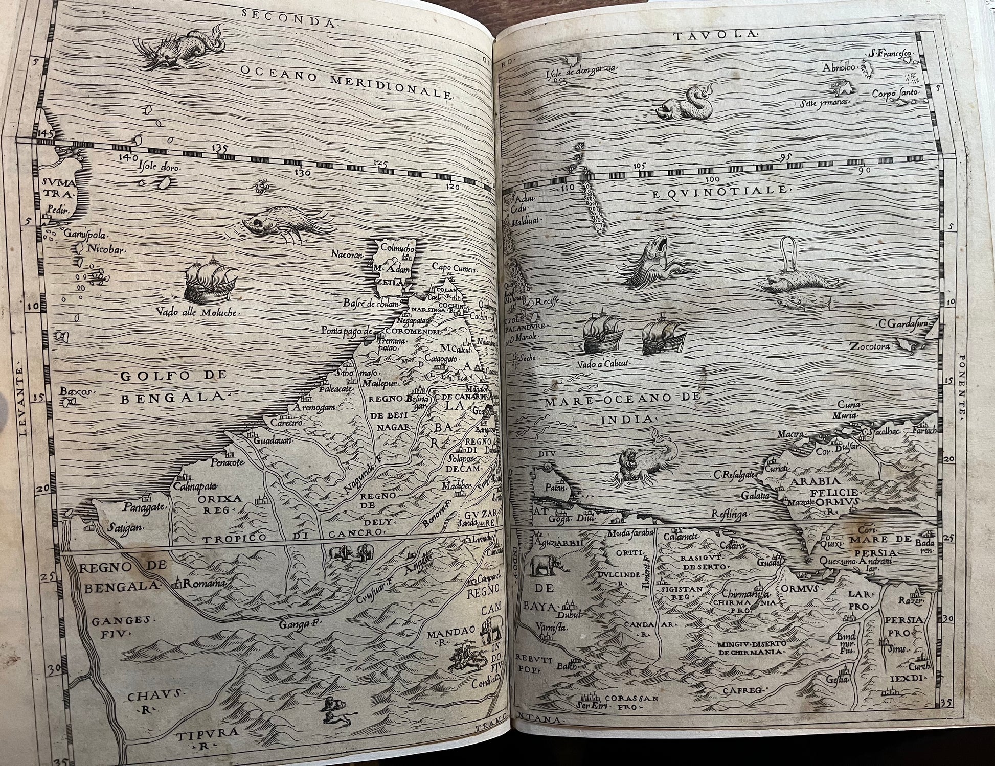
Volume I. [4], 394 leaves (Complete). 30x20 cm. Modern full vellum to style. 3 Double page maps of Africa, India and the Far East - ?Supplied from another copy. Third edition
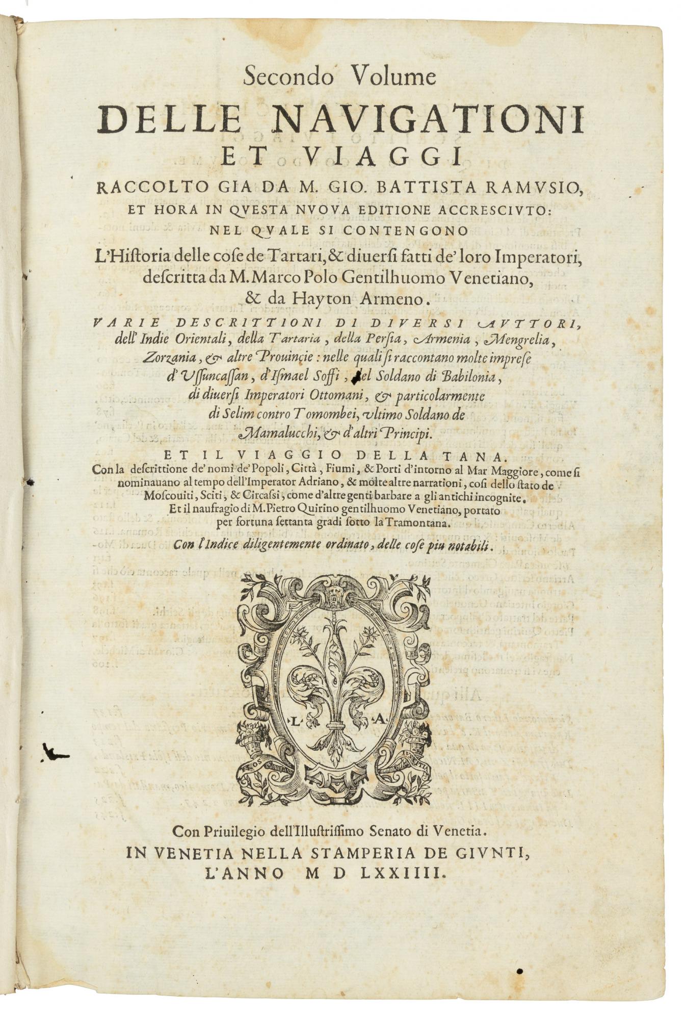
Volume II. 5, [1], 9-30, 248 leaves (Complete). 30x20 cm approx. A few leaves browned and one gathering loosening. 18th Century full vellum, Second edition.
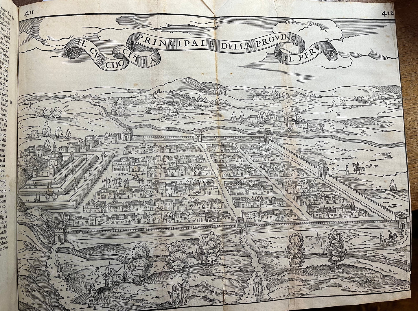
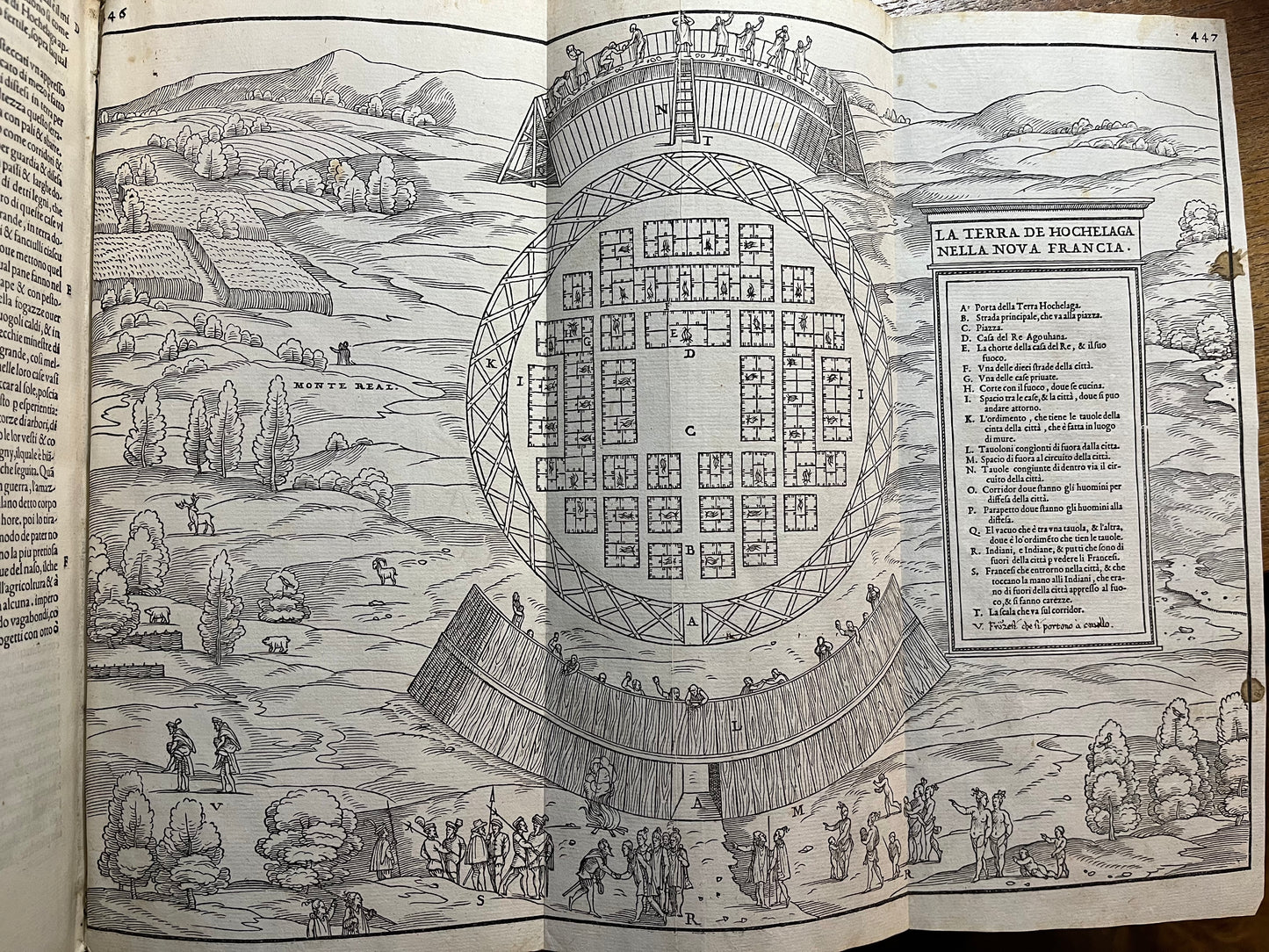
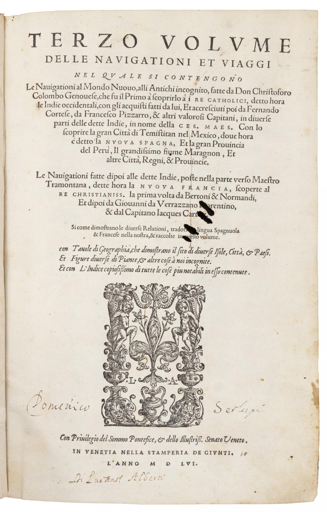
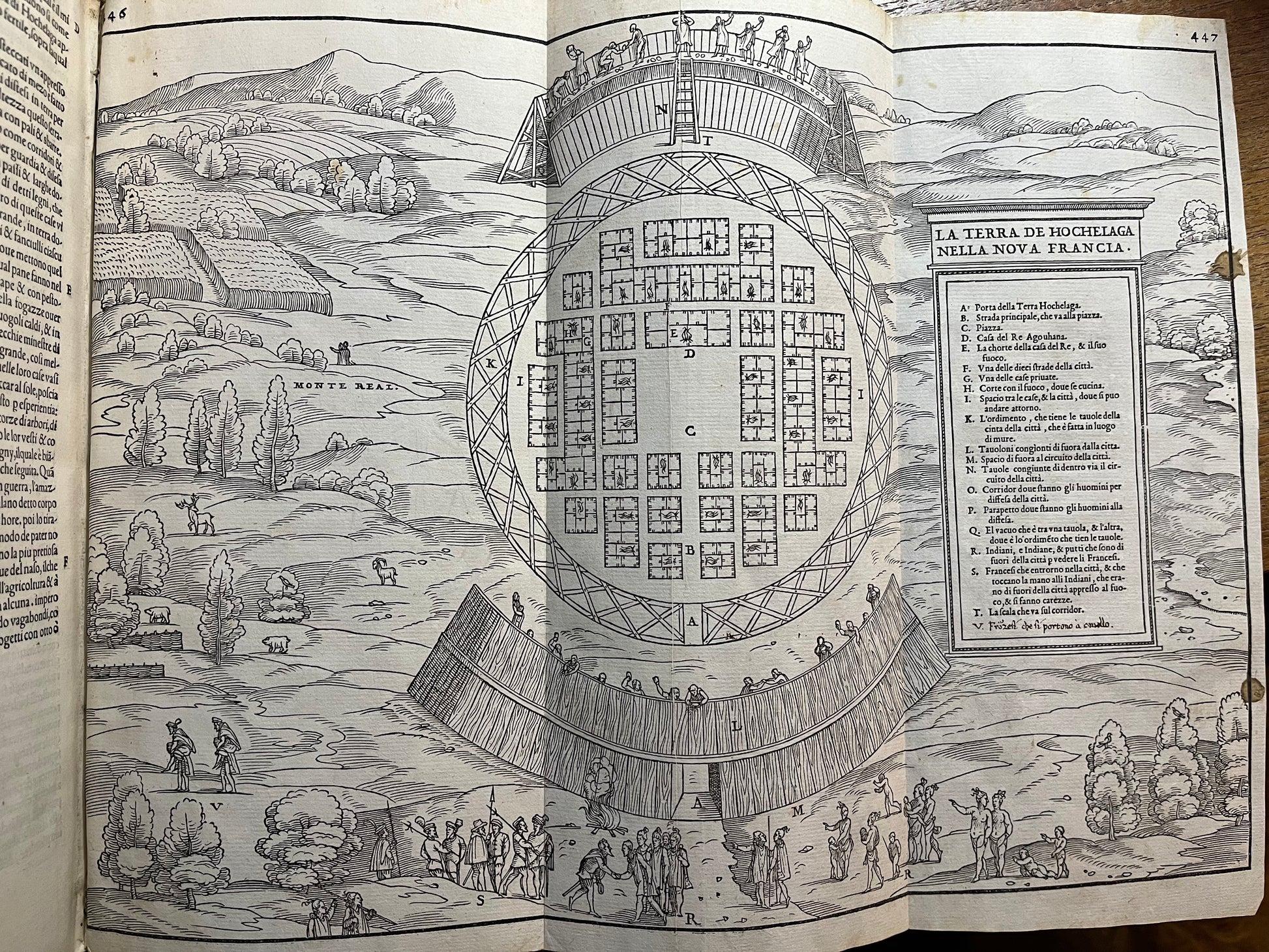
Volume III. 6, 34, 453 leaves (Complete). 6 folding copper-plate maps with in-text woodcut illustrations and maps. 30x20cm approx. 18th Century full vellum, FIRST EDITION.
Some toning to pages with worming and repairs at places. Old wax stains to maps of first volume. Maps to third volume folding with some minor tears & repairs.
Provenance: Ex Bonhams auction house, London.
£25,000
