


De Bry Rare Books
Rare "Appendix Congo" AND "Regnum Congo" 1598 and 1625 with large maps - Complete 1st editions
Rare "Appendix Congo" AND "Regnum Congo" 1598 and 1625 with large maps - Complete 1st editions
Couldn't load pickup availability
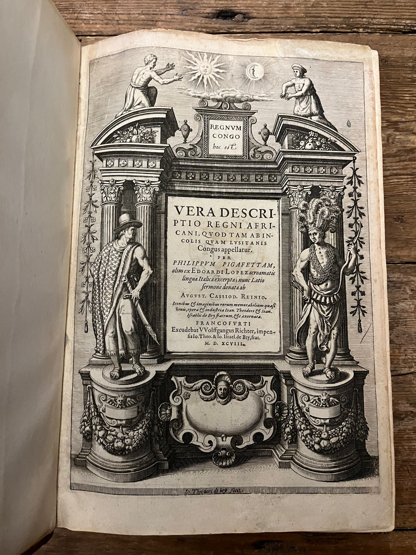
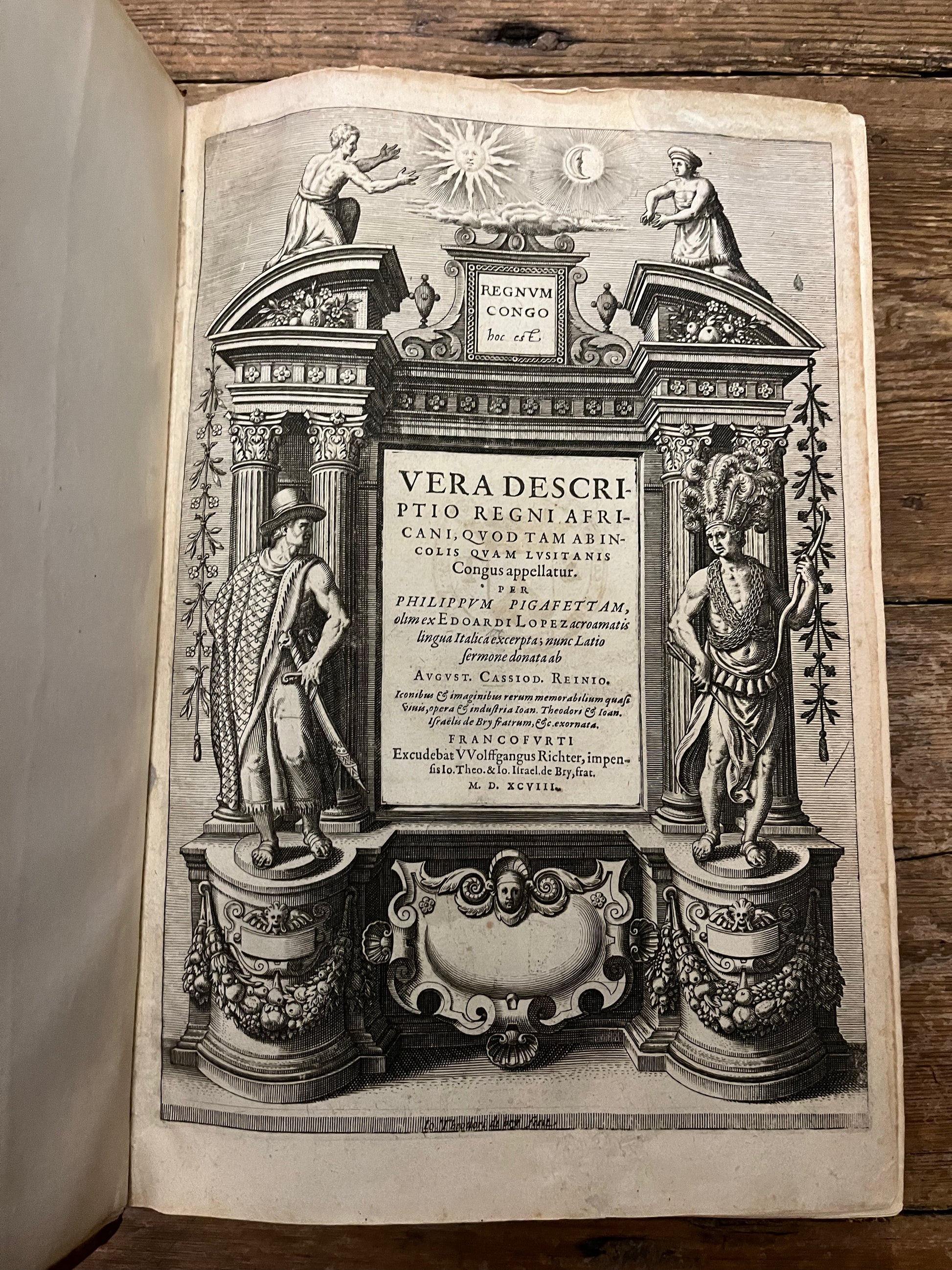
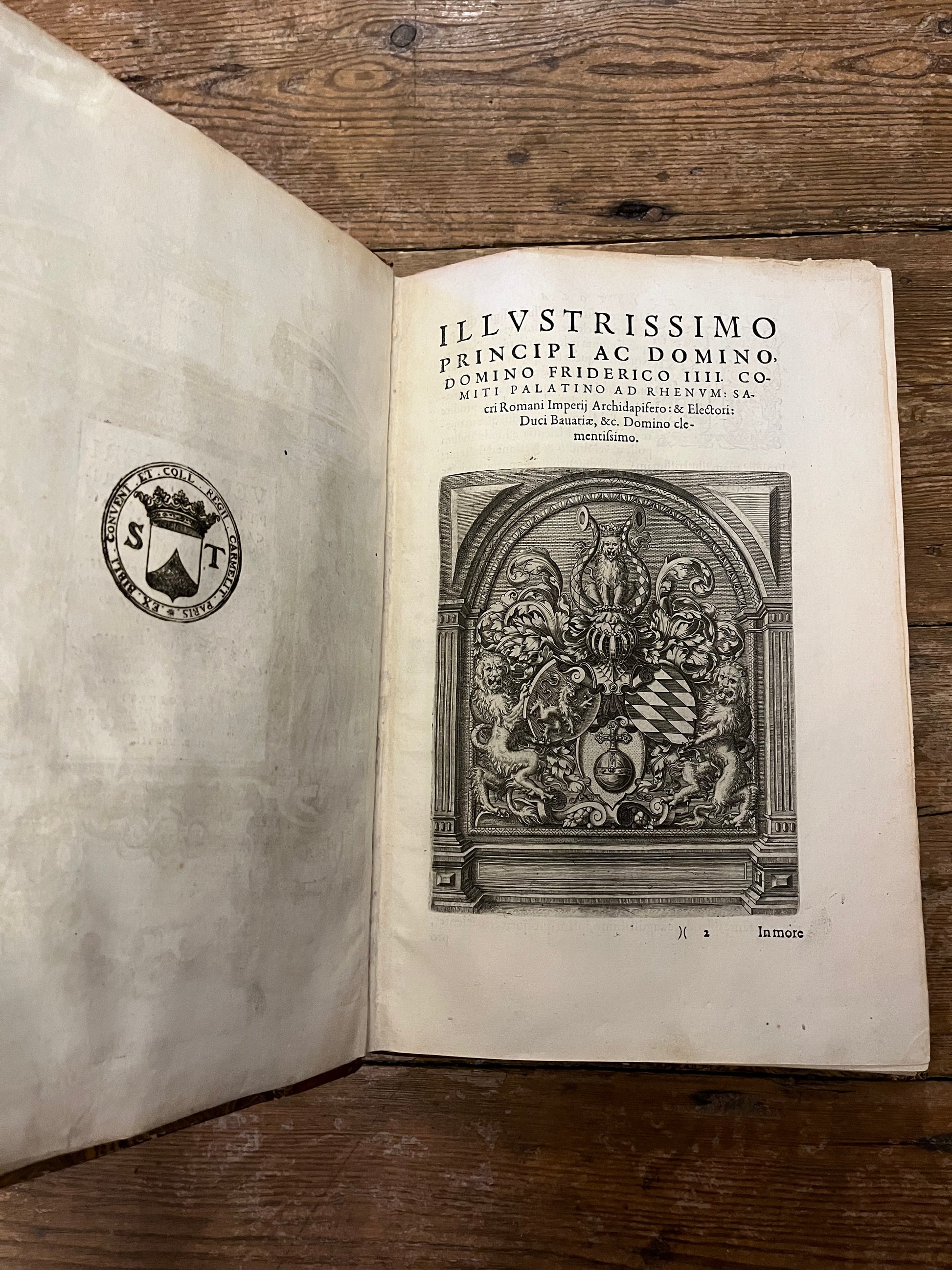
"Regnum Congo hoc est Vera descriptio regni Africani, quod tam ab Incolis quam Lusitanis Congus appellatur"
AND
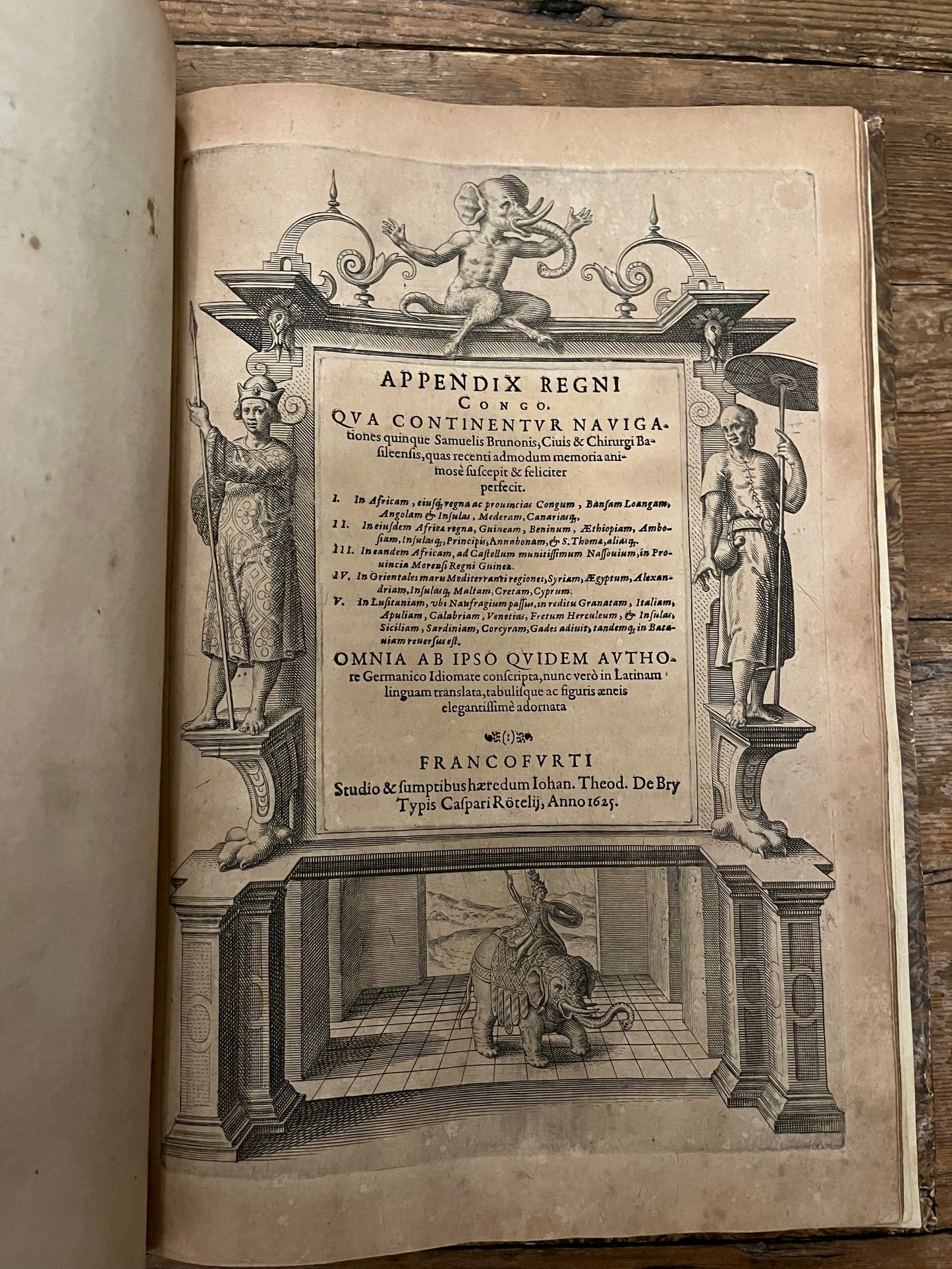
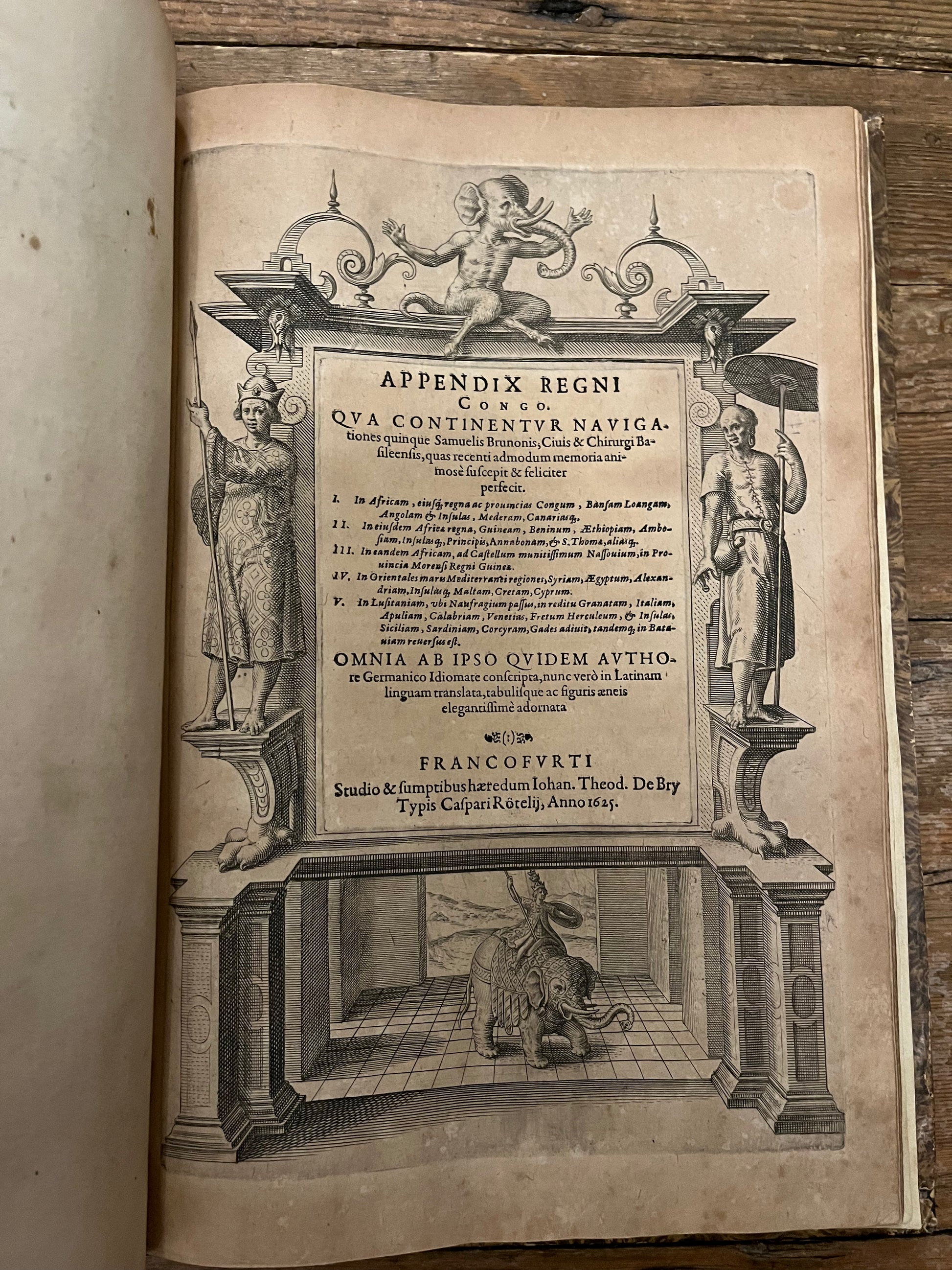
"Appendix Regni Congo : Qua Continentur Navigationes quinque Samuelis Brunonis, Civis [et] Chirurgi Basileensis, quas recenti admodum memoria animose suscepit [et] feliciter perfecit ... , Omnia Ab Ipso Quidem Authore Germanico Idiomate conscripta, nun ver"
-Theodor de Bry published by Wolfgang Richter in Frankfurt & Johann Theodor de Bry & Kaspar Rötel in Frankfurt
-1598 and 1625
-19th Century quarter calf
Regnum Congo (Complete 1st edition):
-TP, [3], 1-60, [index 3], letterpress title to plates,
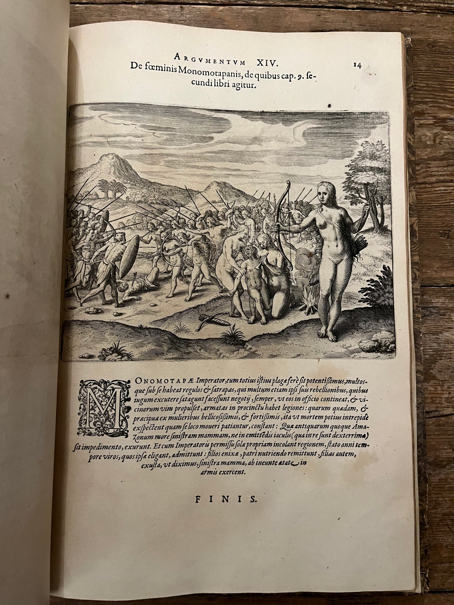
-14 (of 14 plates).
-3 (of 3) folding maps (2 of which are joined)
Appendix Congo (Complete 1st edition):
-TP, [6], 86
Combined "Regnum Congo" (Part 1) and "Appendix Congo" (Appendix to part 1) which form part one with the rare appendix of De Bry's petit voyages.
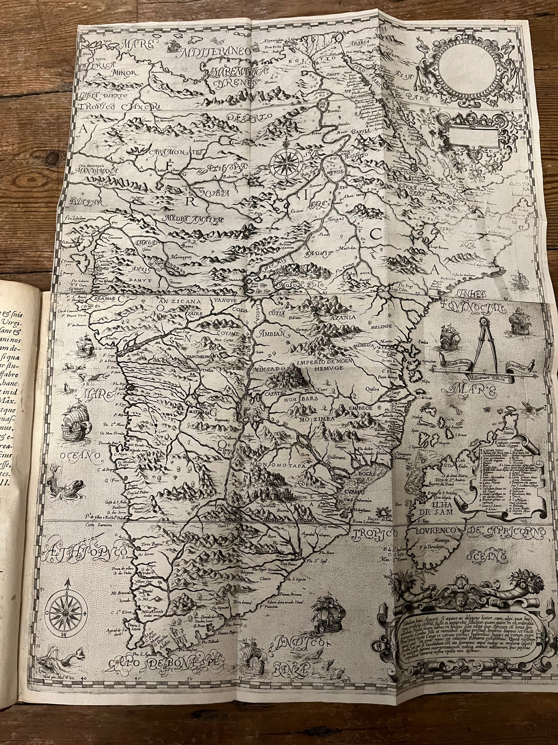
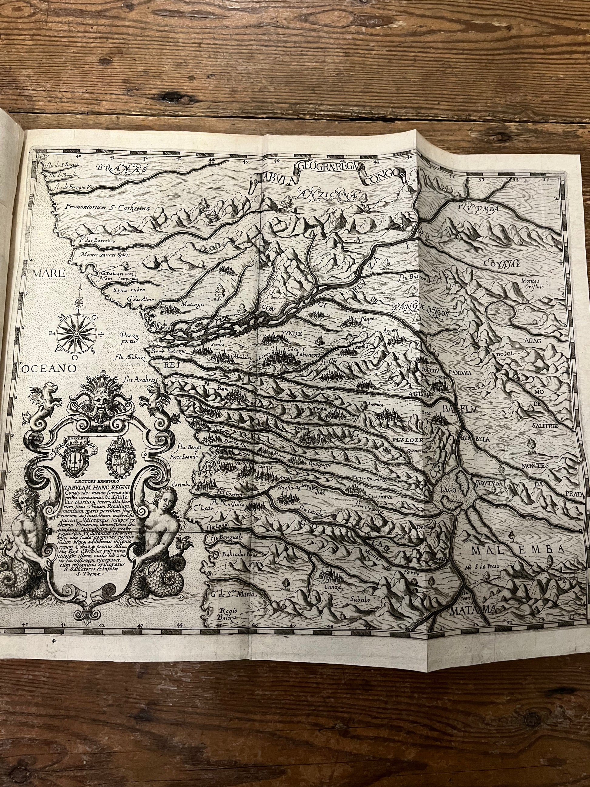
"Vera Descriptio Regini Africani" was printed in Frankfurt in 1598, and is based on the Pigafetta version, published in 1591. The work described the journey of Duarte lopes though the Congo in 1578 to 1584. Lopes met Pigafetta in Rome after his return in the late 1580s, and subsequently published the work and maps. De Bry produced this edition as part one of his famous Petits voyages.
Lopes was a Portuguese trader who travelled around what is now Angola and the Democratic Republic of the Congo. He was appointed ambassador to Spain for the king of Congo and sought to trade in Gold and precious metals, while brining Christianity to Africa.
The maps of Africa are important as they rejects the long-held Ptolemaic belief of the Mountains of the Moon as the source for the Nile River. Instead, the map depicts two lakes which feed the main rivers of Africa. The lower lake feeds the Rio de Manhic (Zambezi) and the Lorenzo Marches (Limpopo), and the northern one feeds the Nile, with a river connecting the two lakes. The maps, alongside the general map of Africa, became an important source on central Africa and the Congo, and was frequently used by later writers and mapmakers
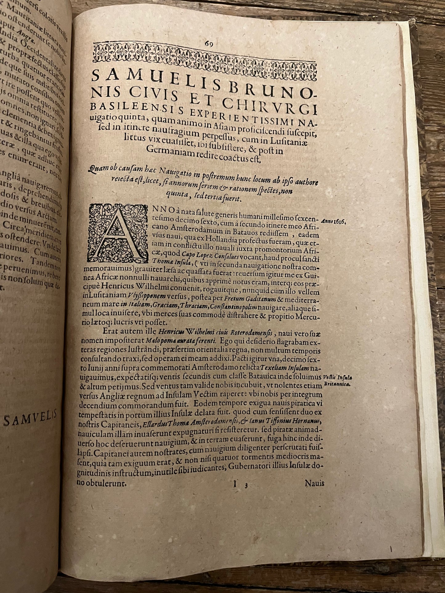
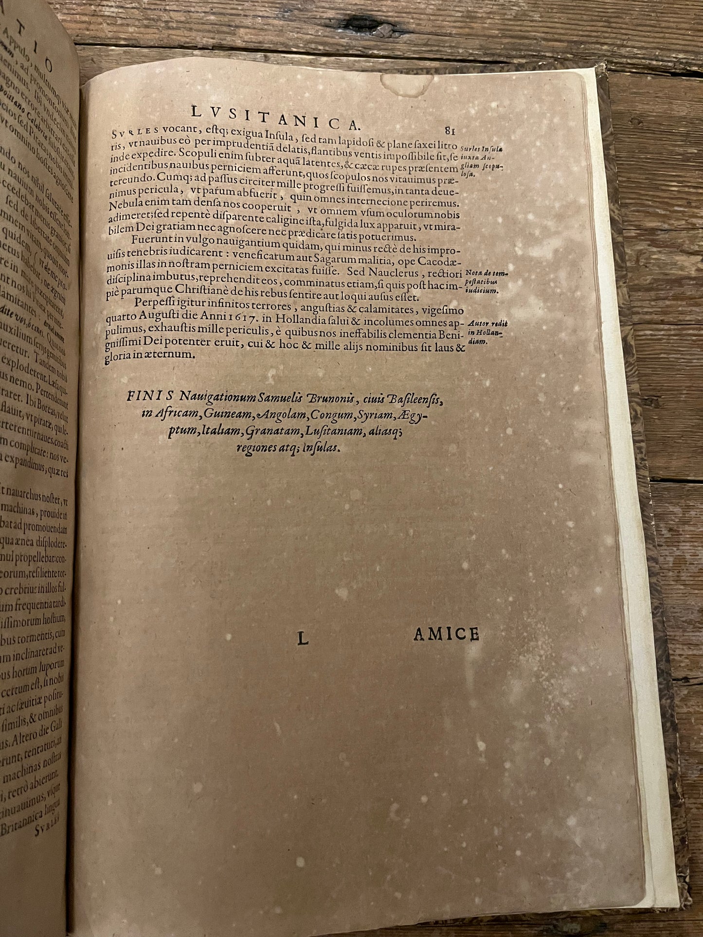
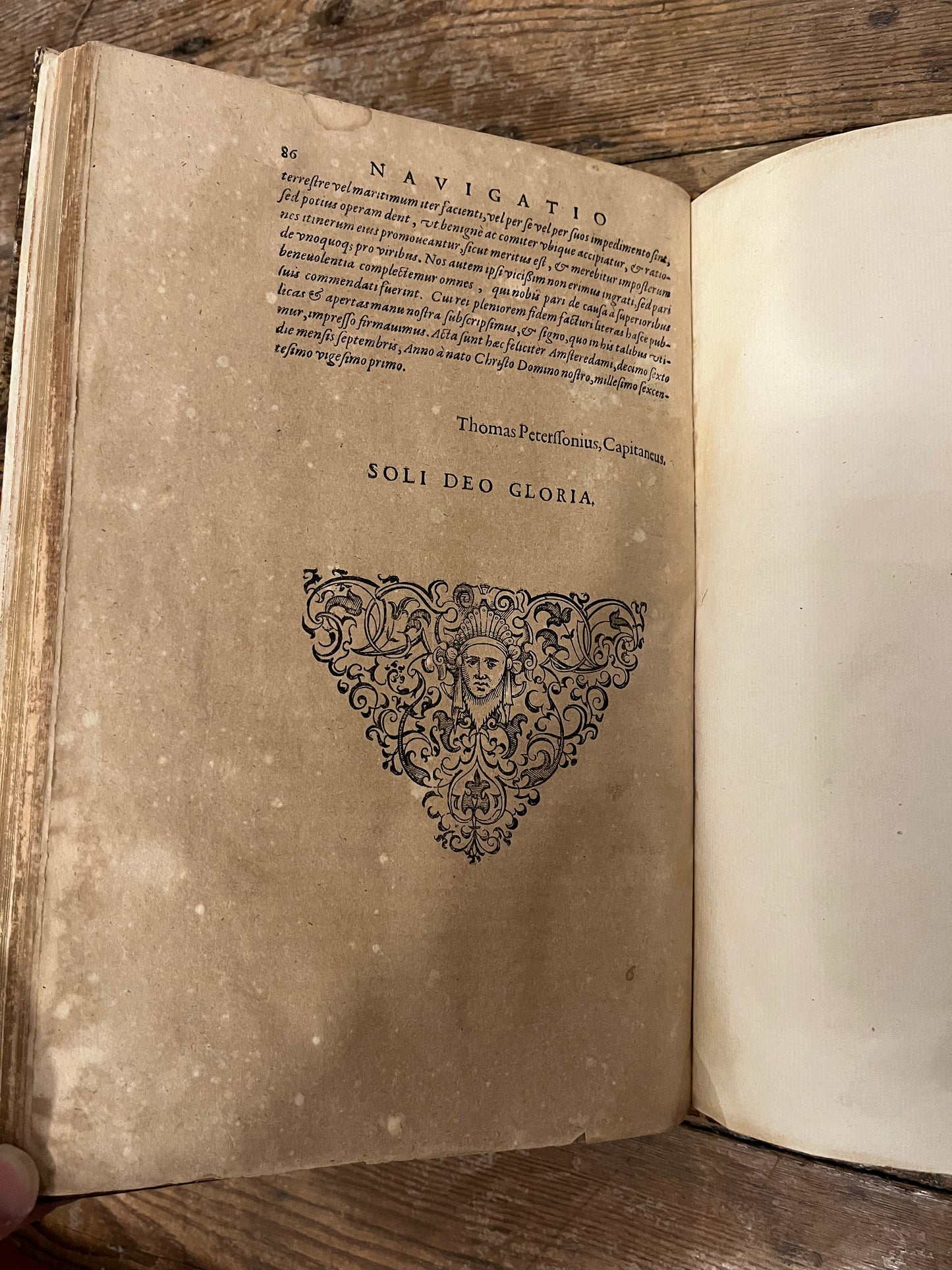
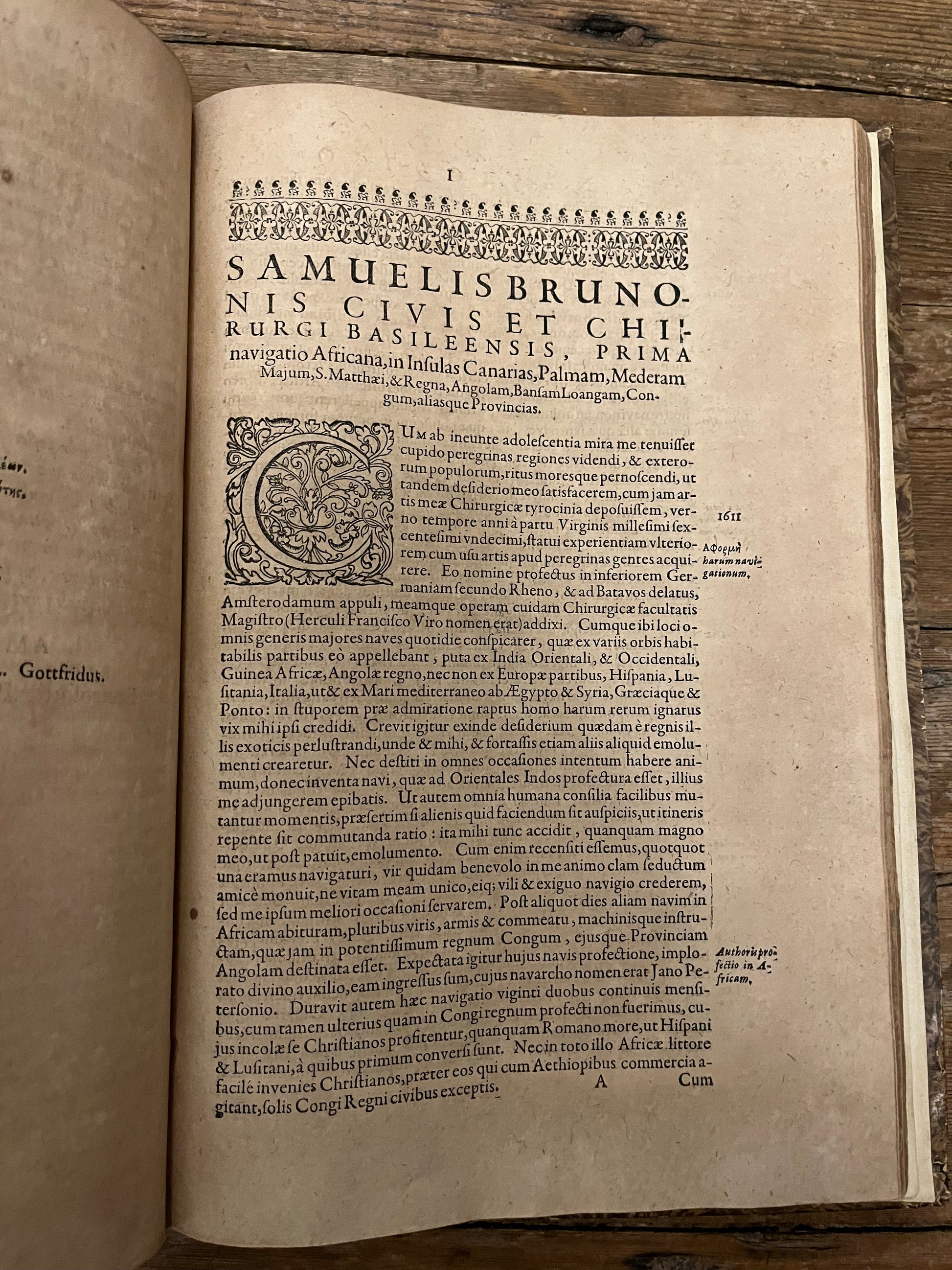
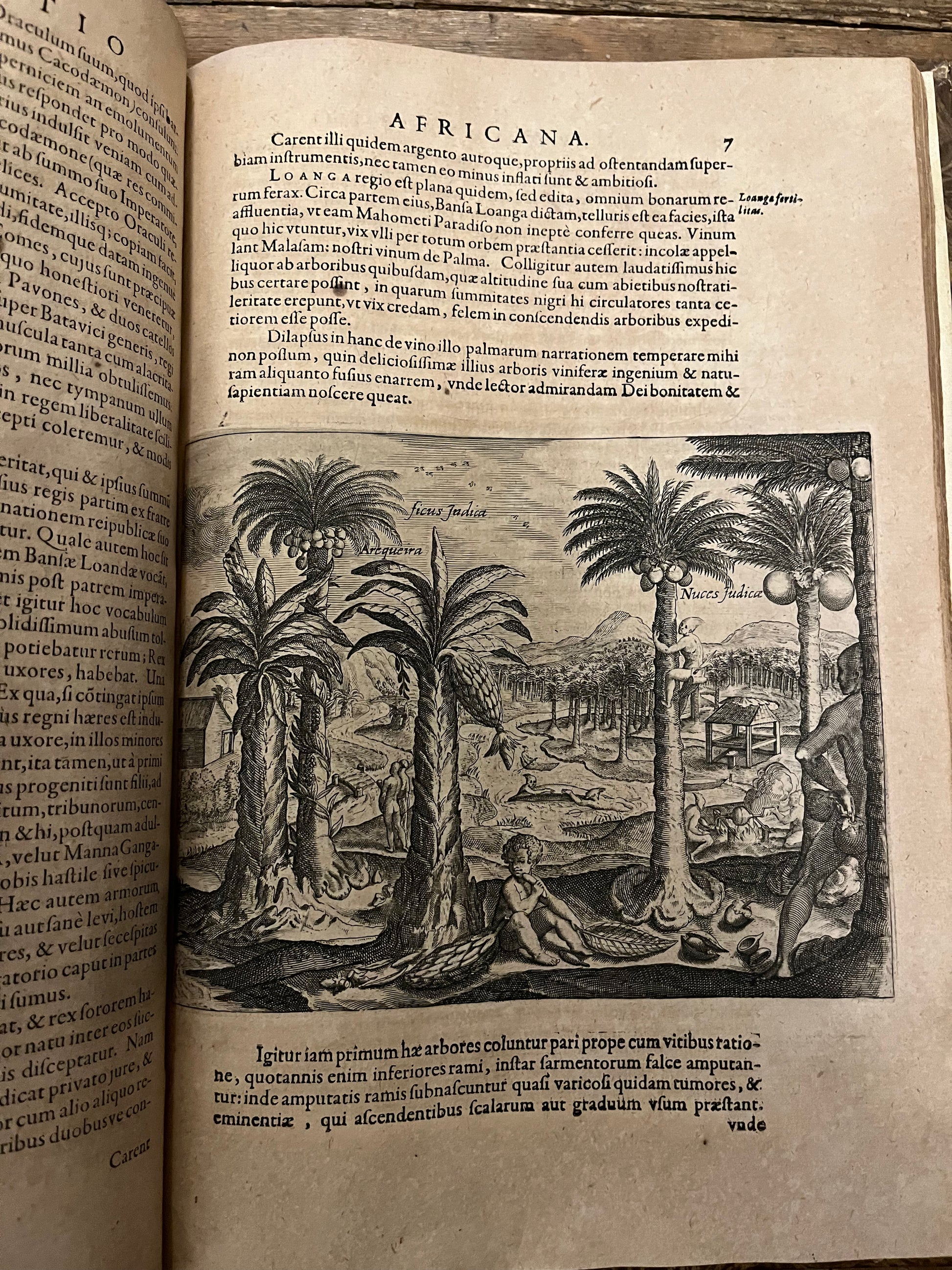
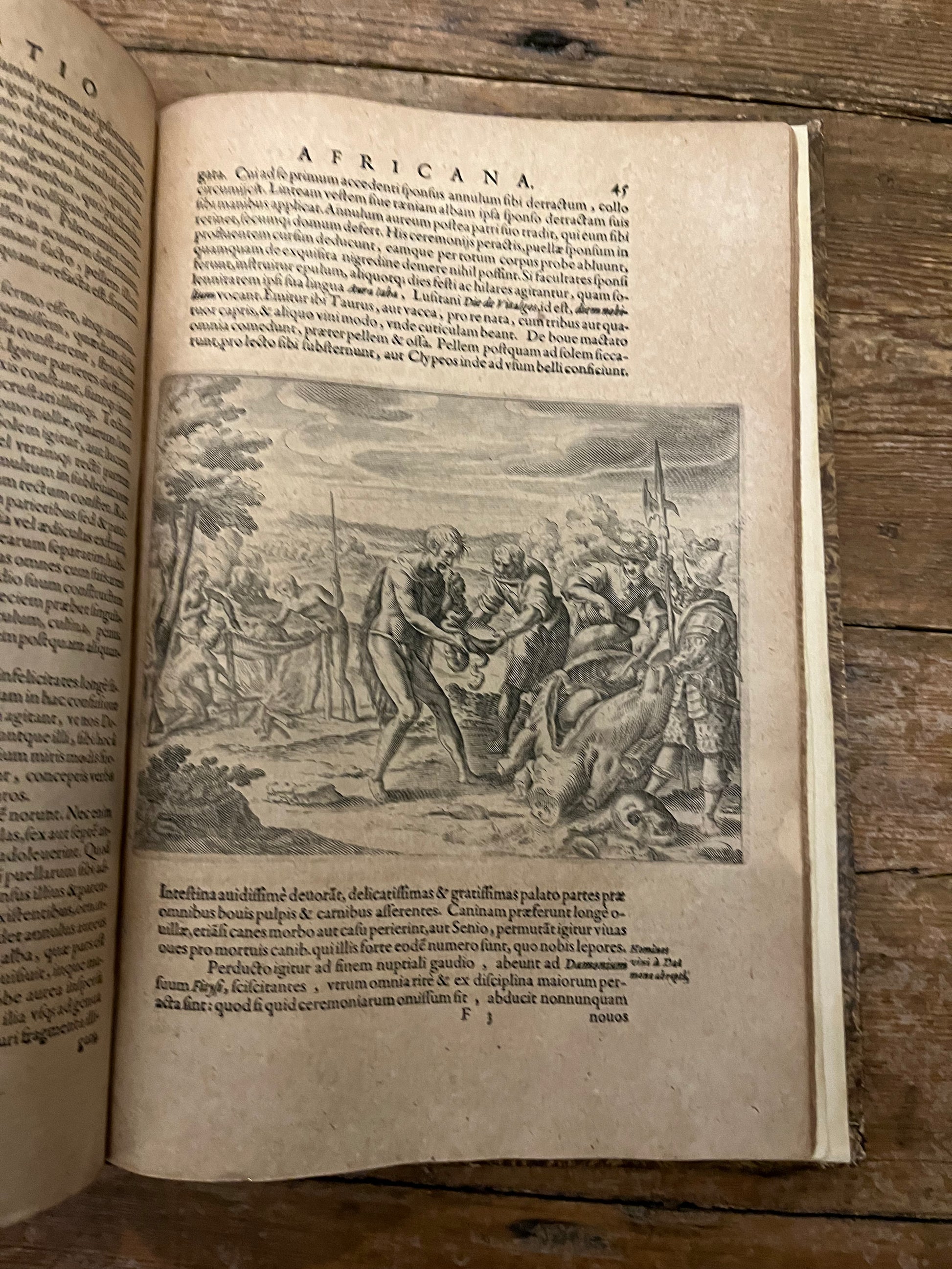
Appendix Congo contains the account of Samuel Braun - A German speaking Swiss Doctor - in his travels to West Africa. It is the first German account of West Africa and contains the record of 5 voyages. "In his travel report, written at the suggestion of his friend, Pastor Johannes Gross, the first scientific work on West Africa in German, he shared in a factual, insightful presentation a wealth of observations, particularly ethnographically valuable, which are far above the level of contemporary travel literature and were only recognized in their true significance at the end of the 19th century." (Heinrich Buess)
The Five accounts are
-1611–1613 on the Meermann under Captain Johann Pietrszoon to Guinea
-1614–1616 on the Weisser Hund to the Ivory Coast and Guinea
-1616–1617 on the Oranienbaum under Captain Heinrich Willems Puis to the Mediterranean to Lisbon and after shipwreck and subsequent rescue to the Spanish coast on the Golden Valk to Venice.
-1617–1620 on the Gelderland to Sierra Leone and the Gold Coast
-1620–1621 on the Edam under Captain Thomas Pieterssen to the eastern Mediterranean to Aleppo.
Appendix Congo is uncommon on the market and is a famous rarity for De Bry collectors: USTC 2111168 (7 copies only)