De Bry Rare Books
The English Pilot - England, Scotland, Ireland, Holland, Flanders, Spain, Portugal - 1758
The English Pilot - England, Scotland, Ireland, Holland, Flanders, Spain, Portugal - 1758
Couldn't load pickup availability
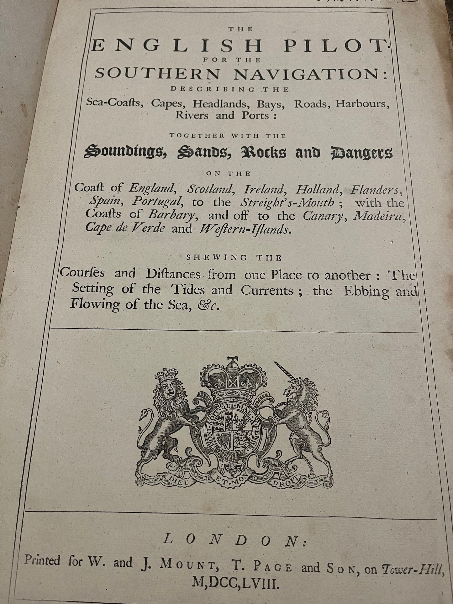
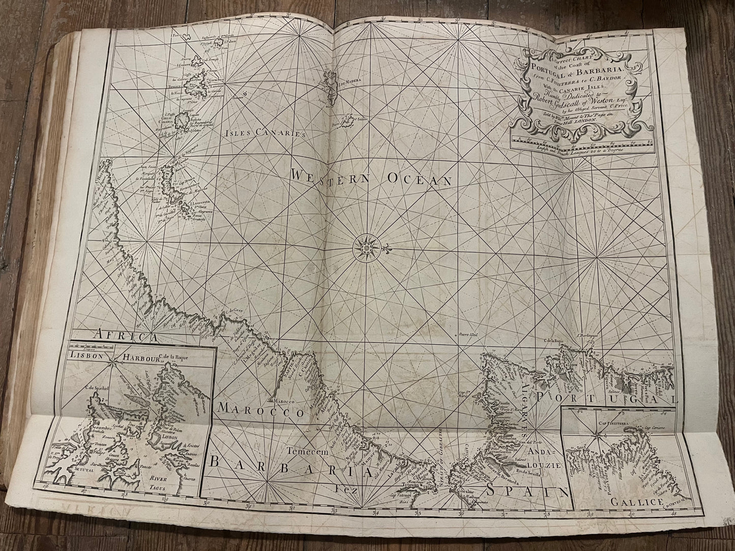
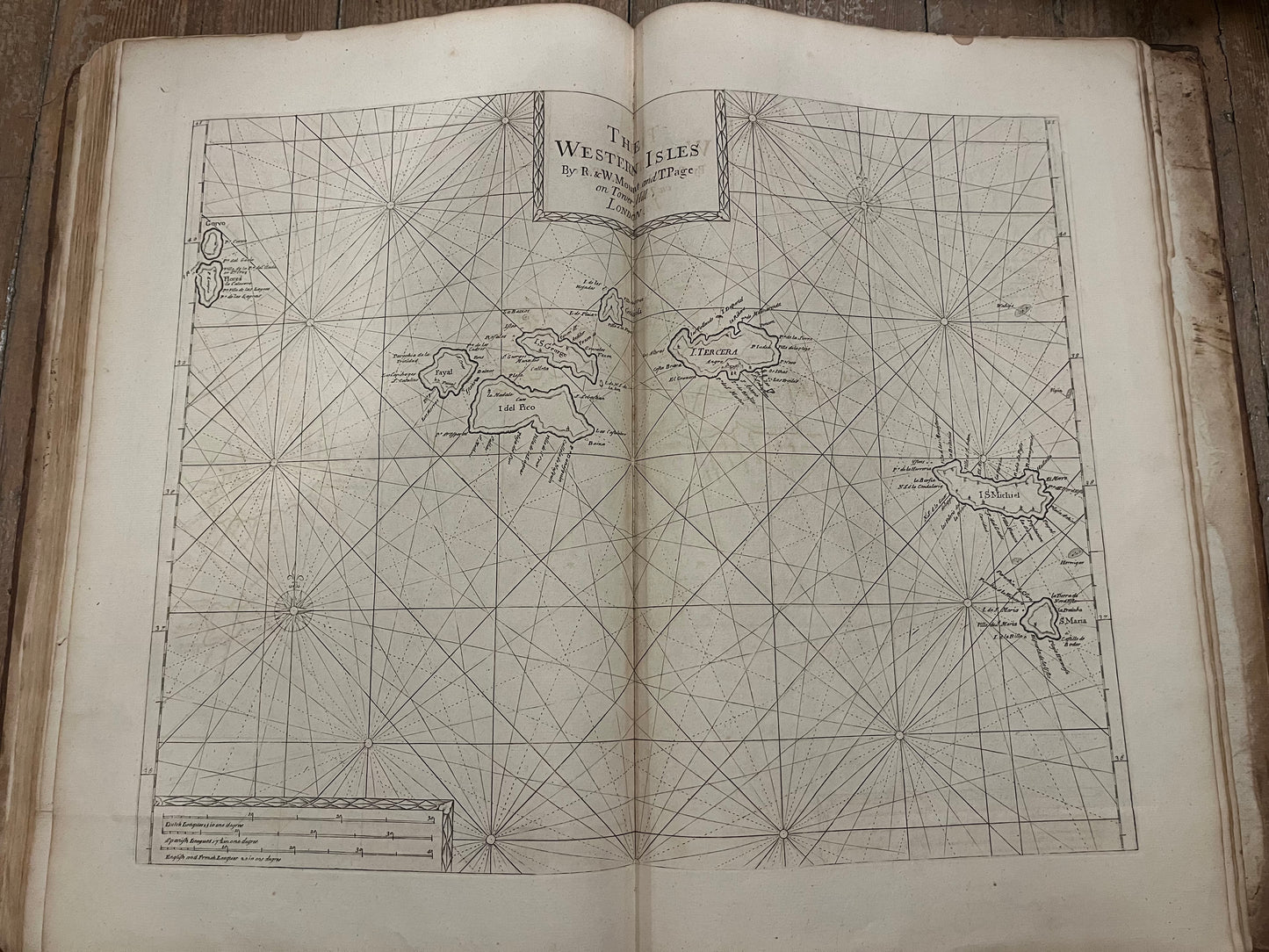
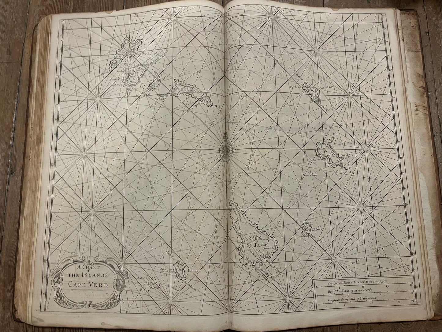
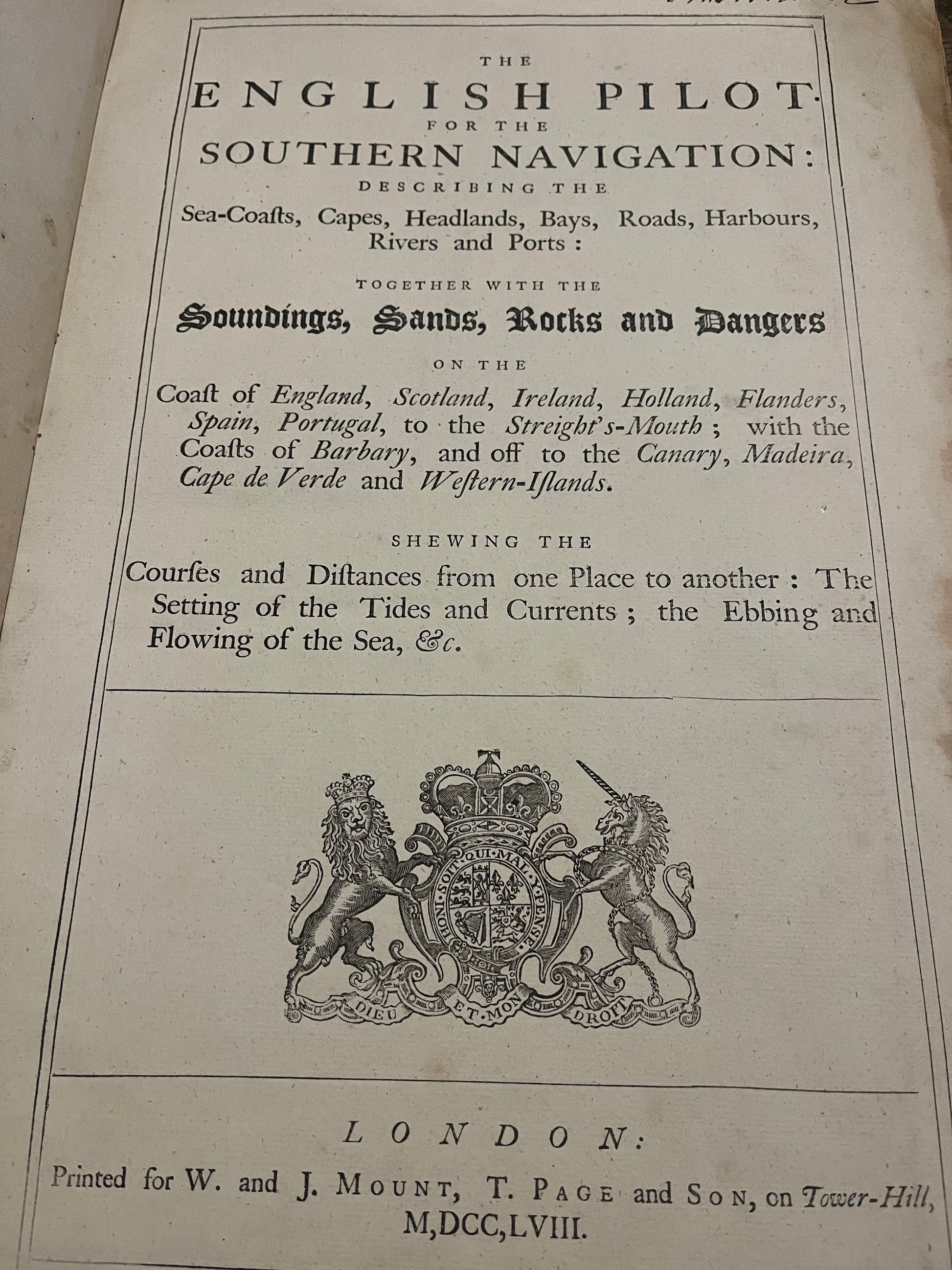
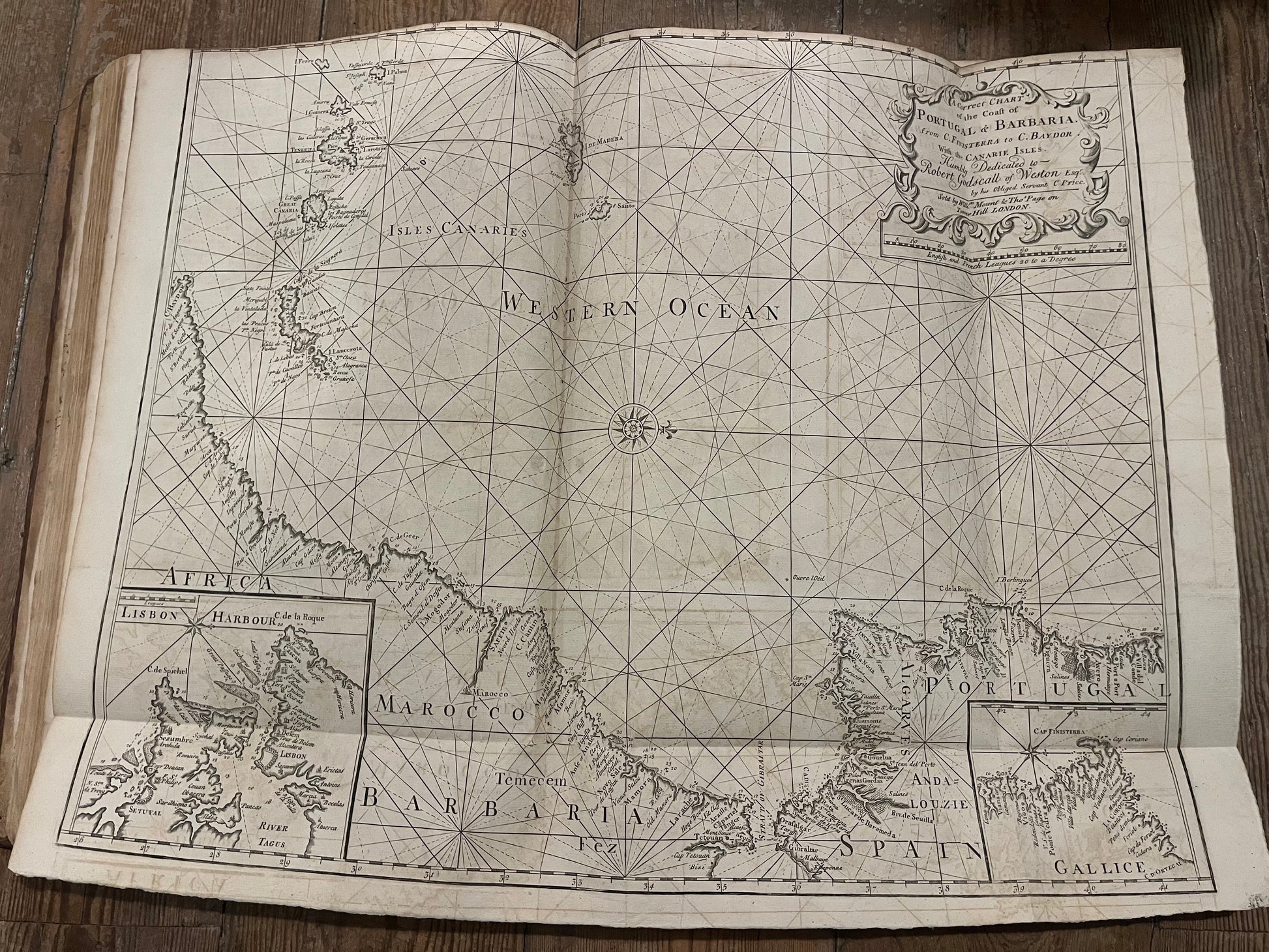
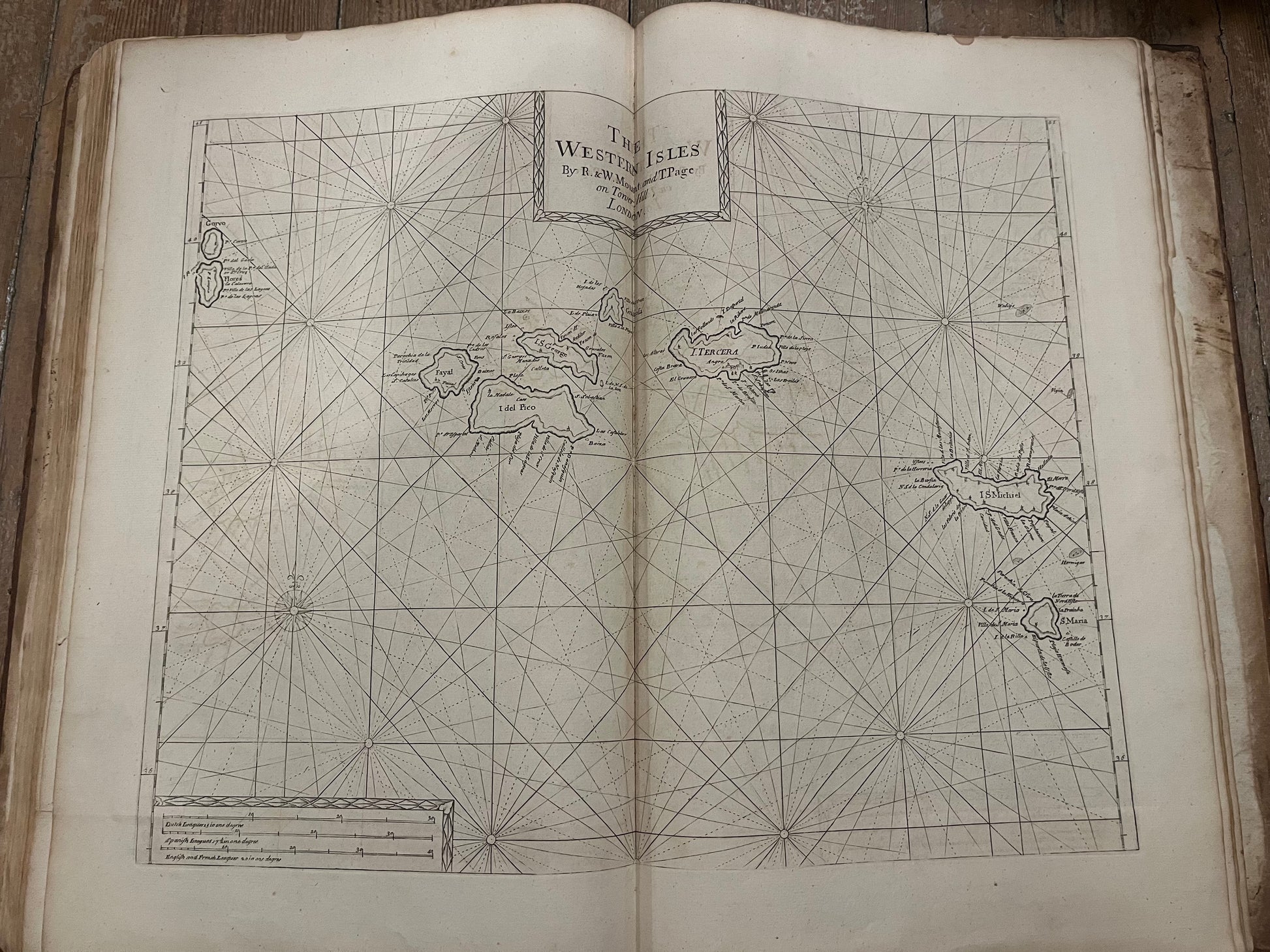
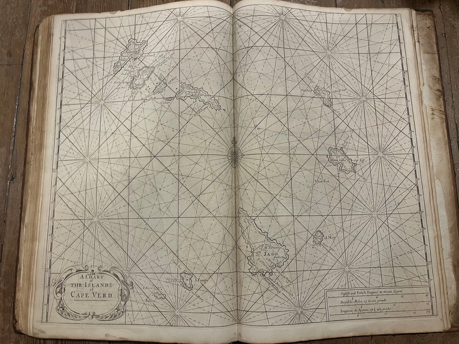
"The English pilot for the southern navigation: Describing the sea-coasts, capes, headlands, bays, roads, harbours, rivers and ports... on the coast of England, Scotland, Ireland, Holland, Flanders, Spain, Portugal, to the Streight's-Mouth; with the coasts of Barbary, and off to the Canary, Madeira, Cape de Verde and Western-Islands"
London, W. & J. Mount and T. Page & Son, 1758
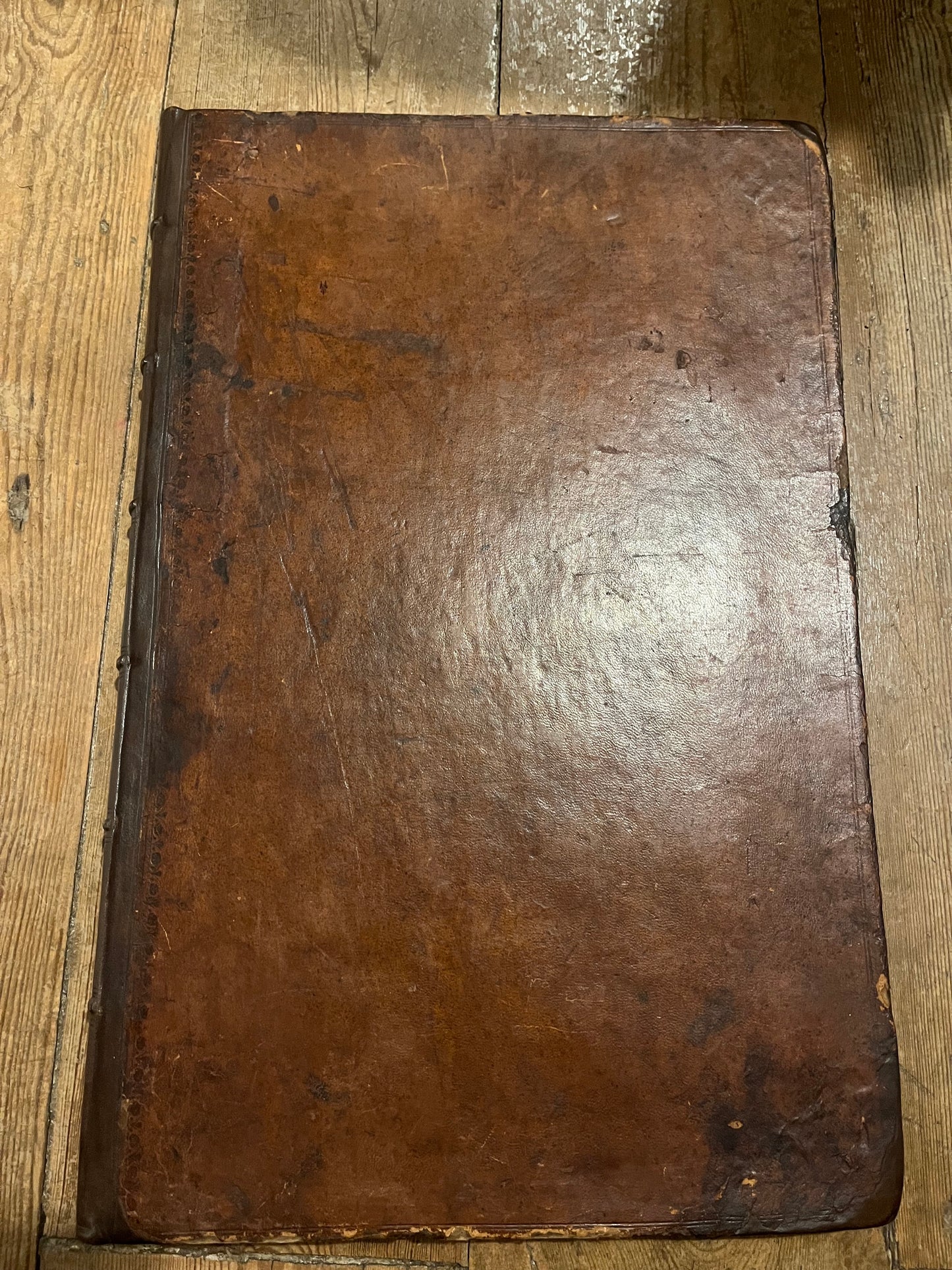
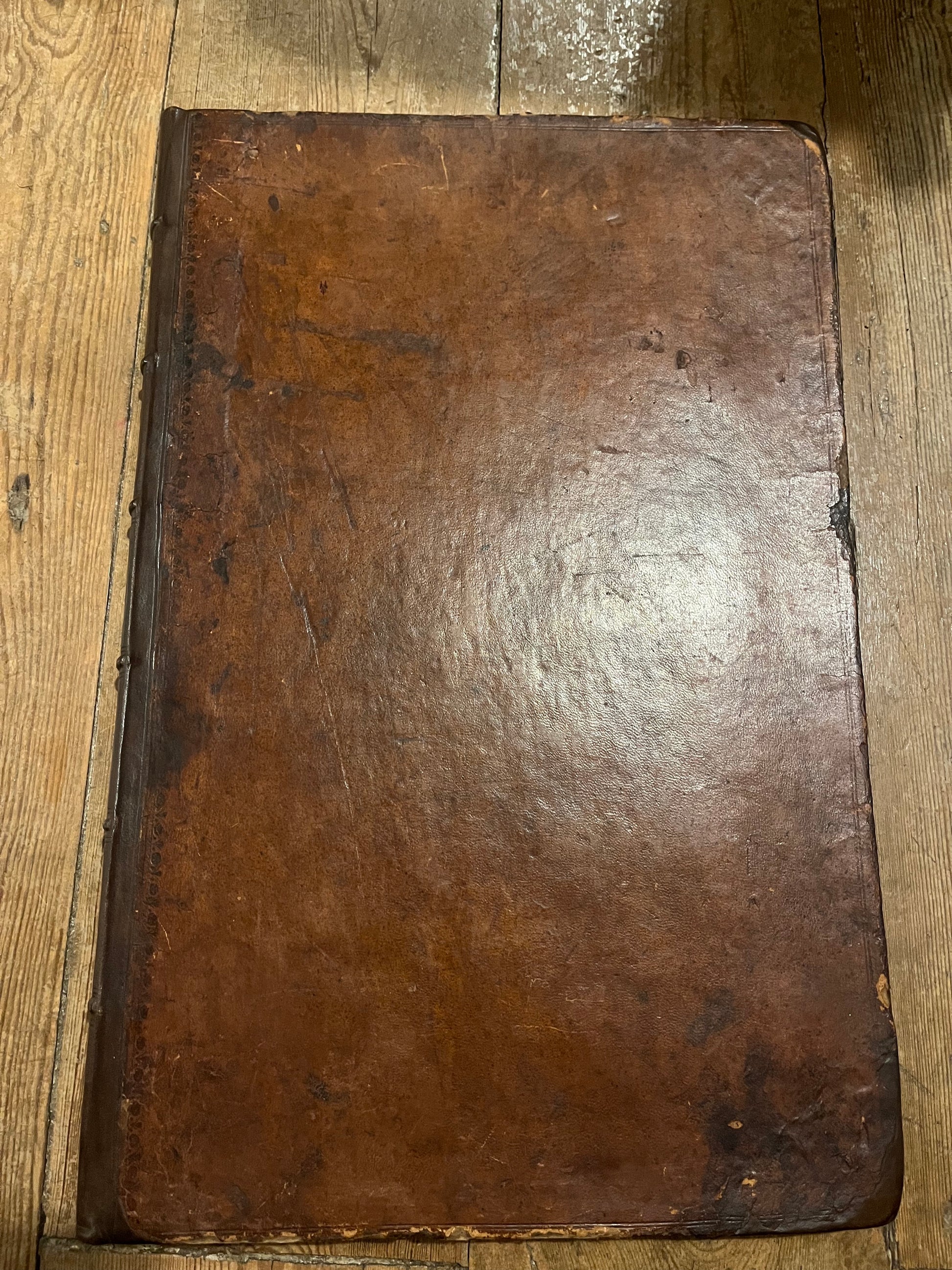
Large folio (48 x 31 cm). Original calf rebacked
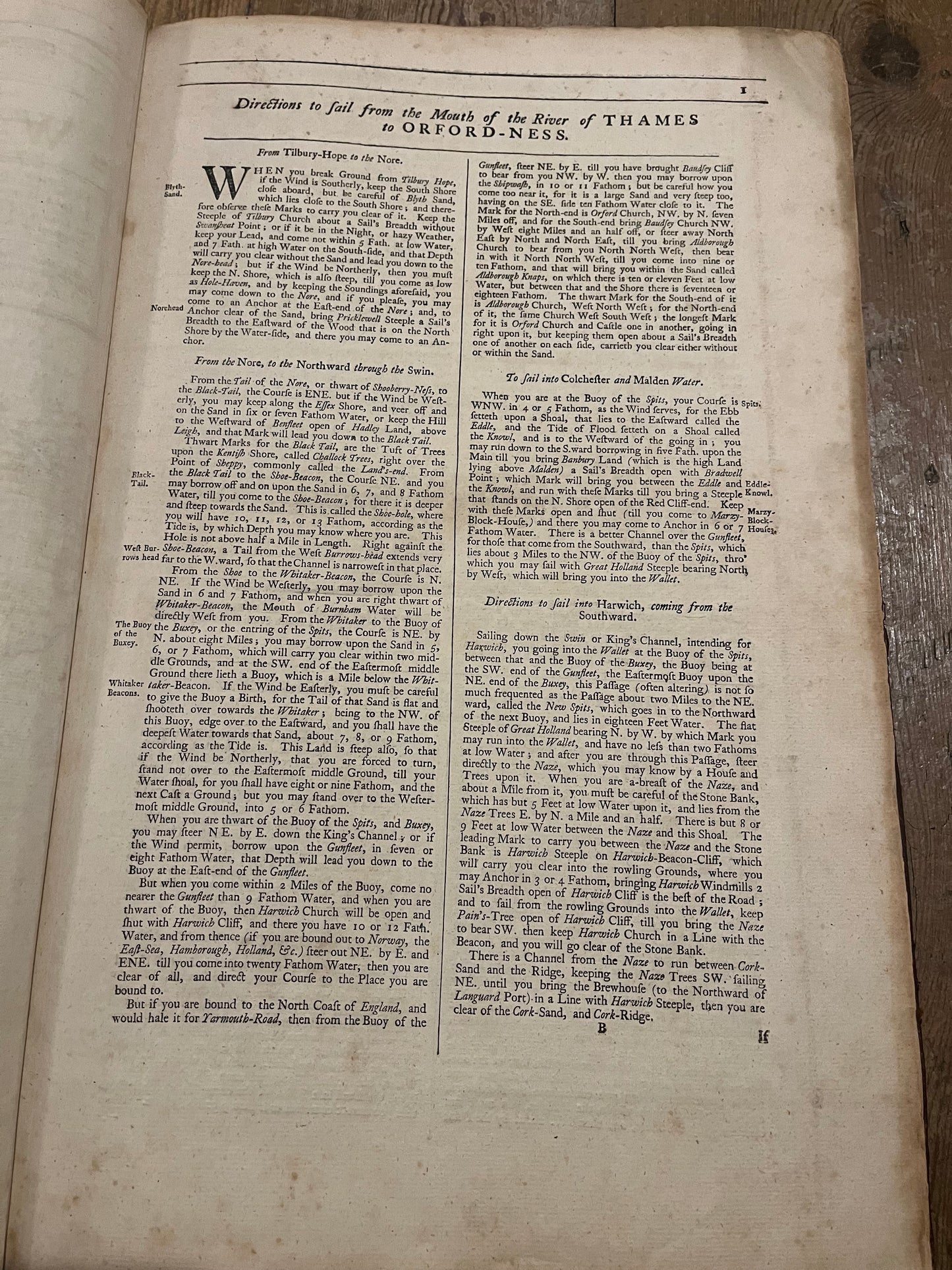
[1],92
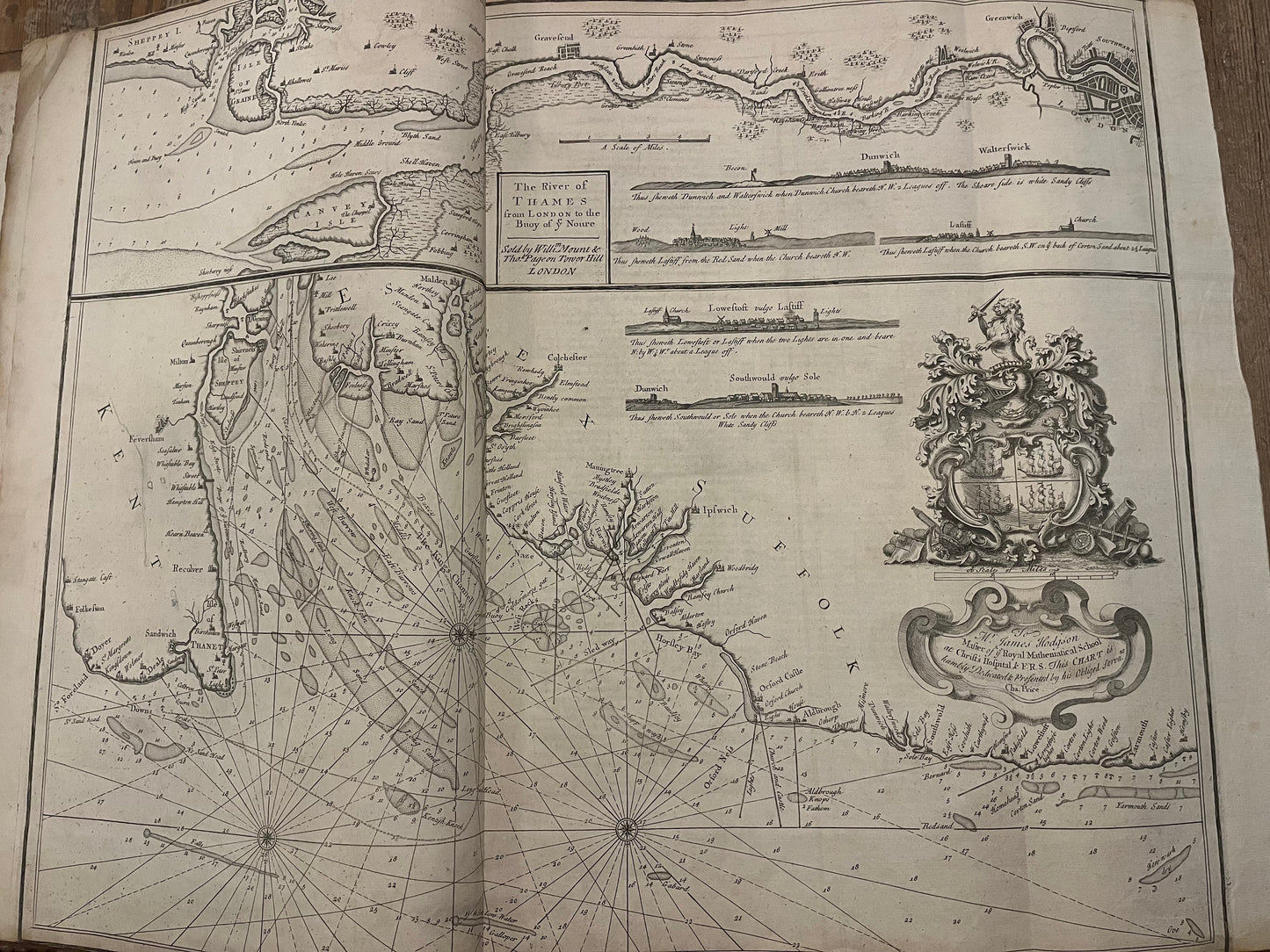
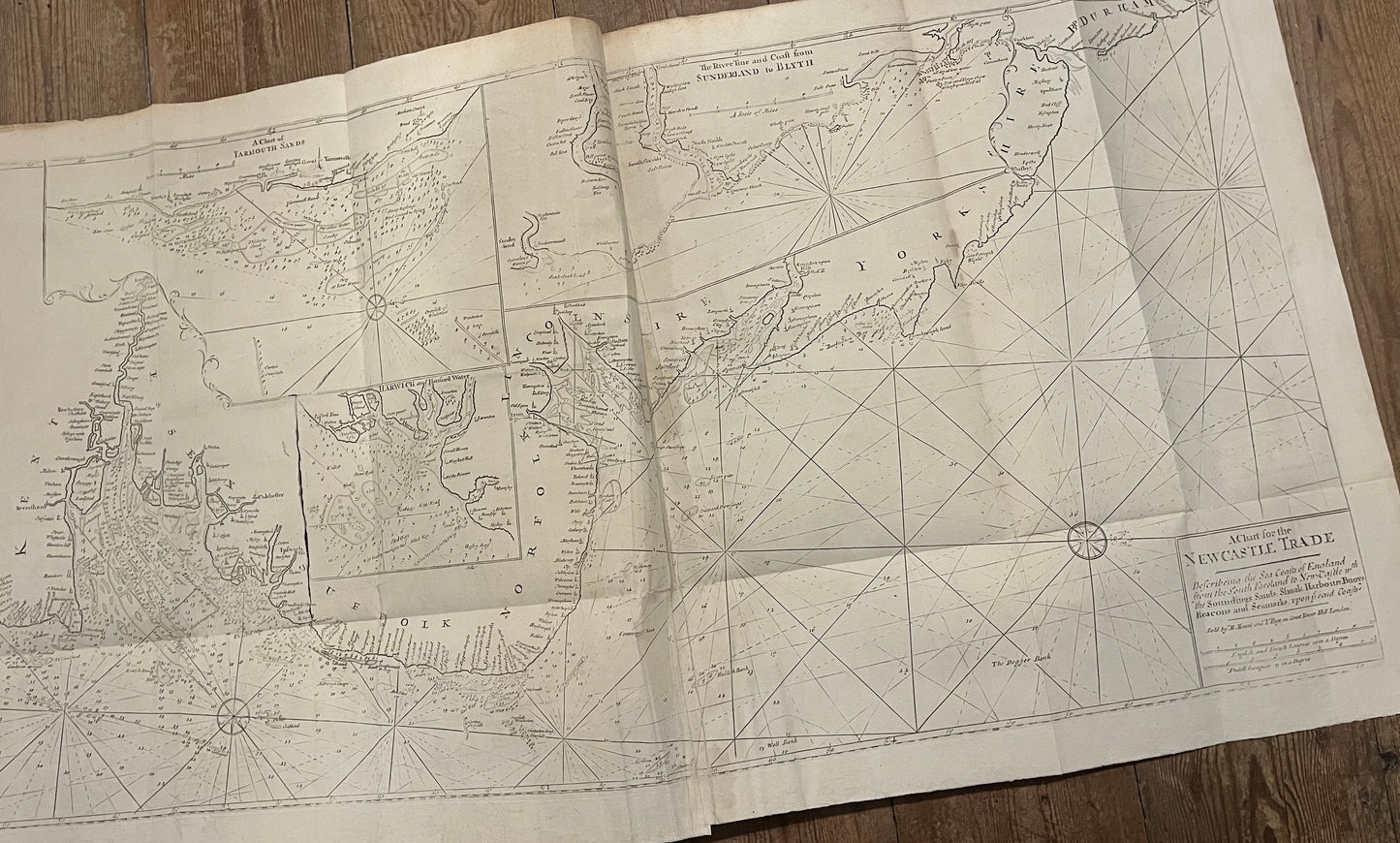
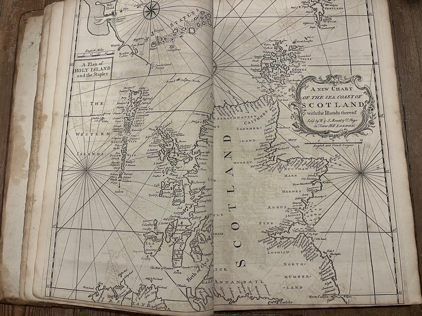
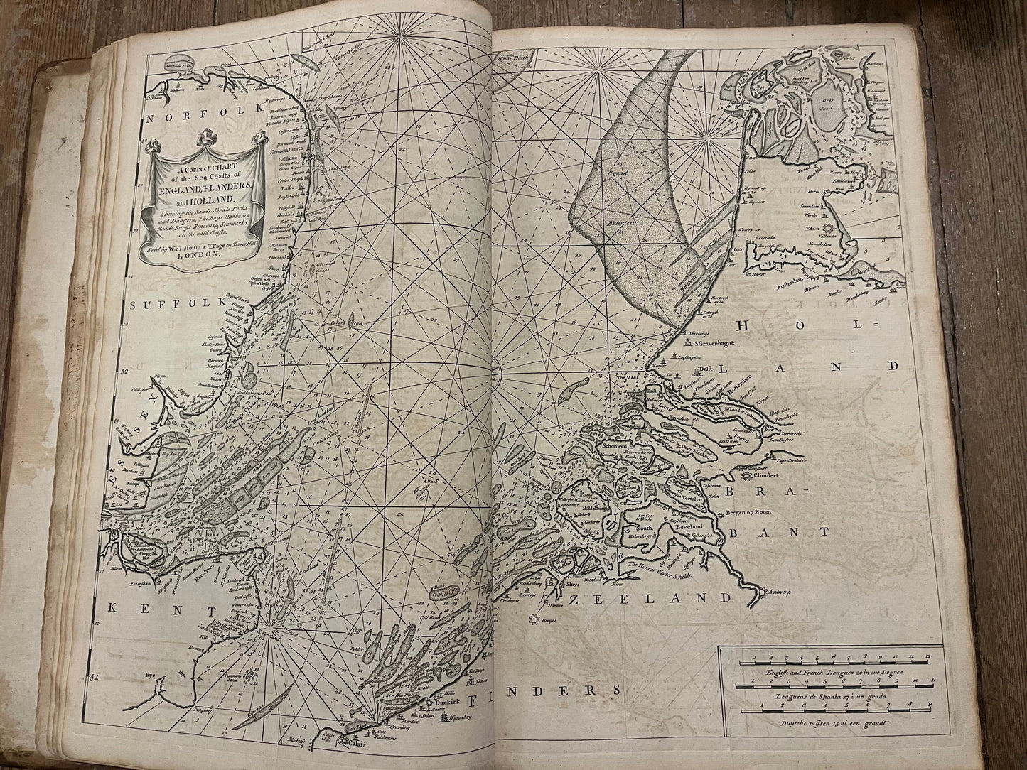
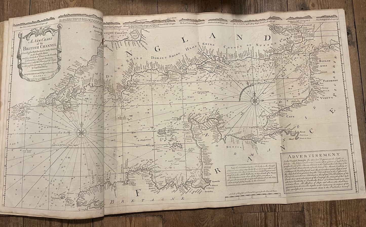
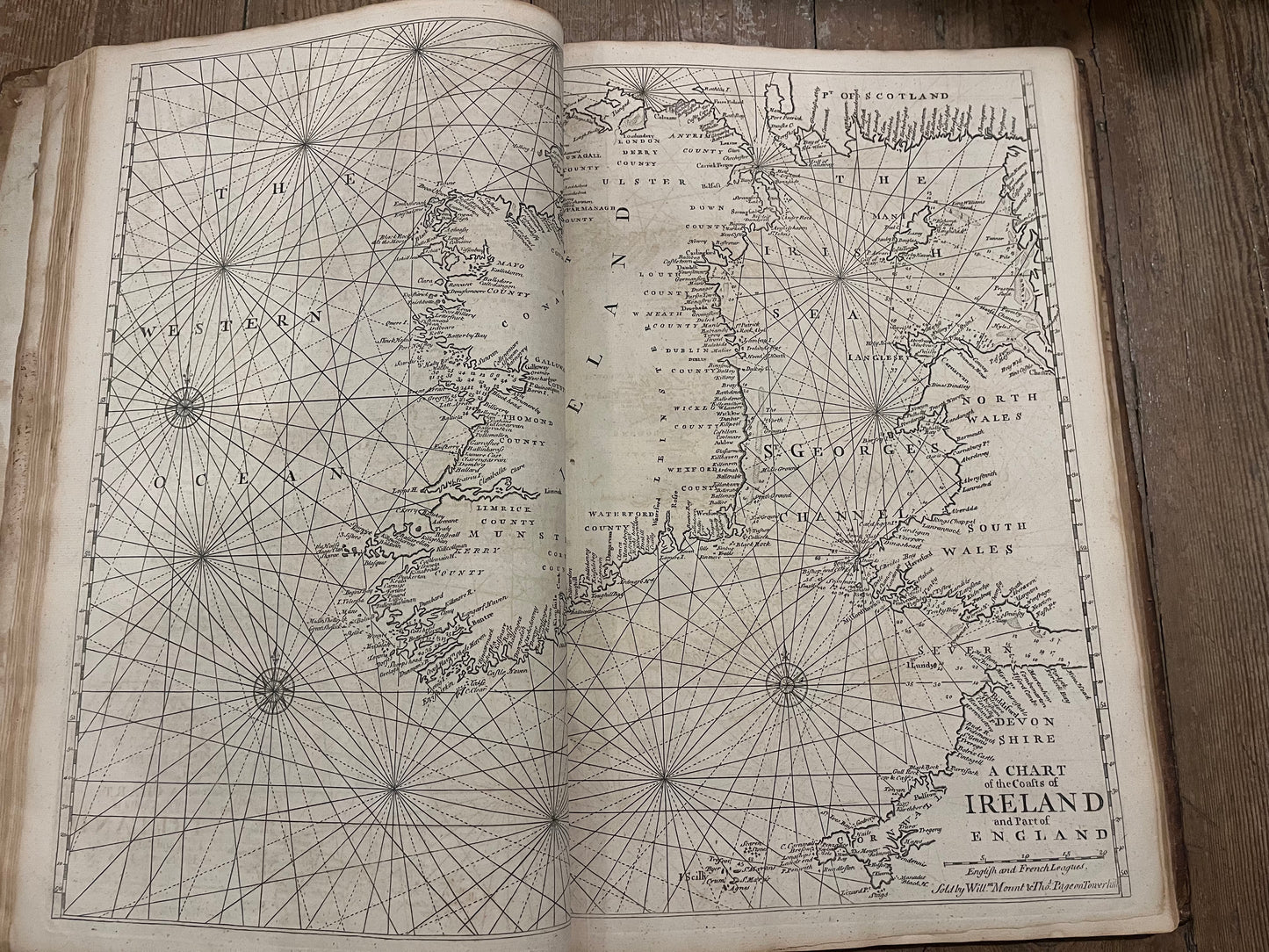
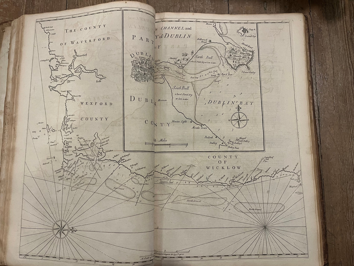
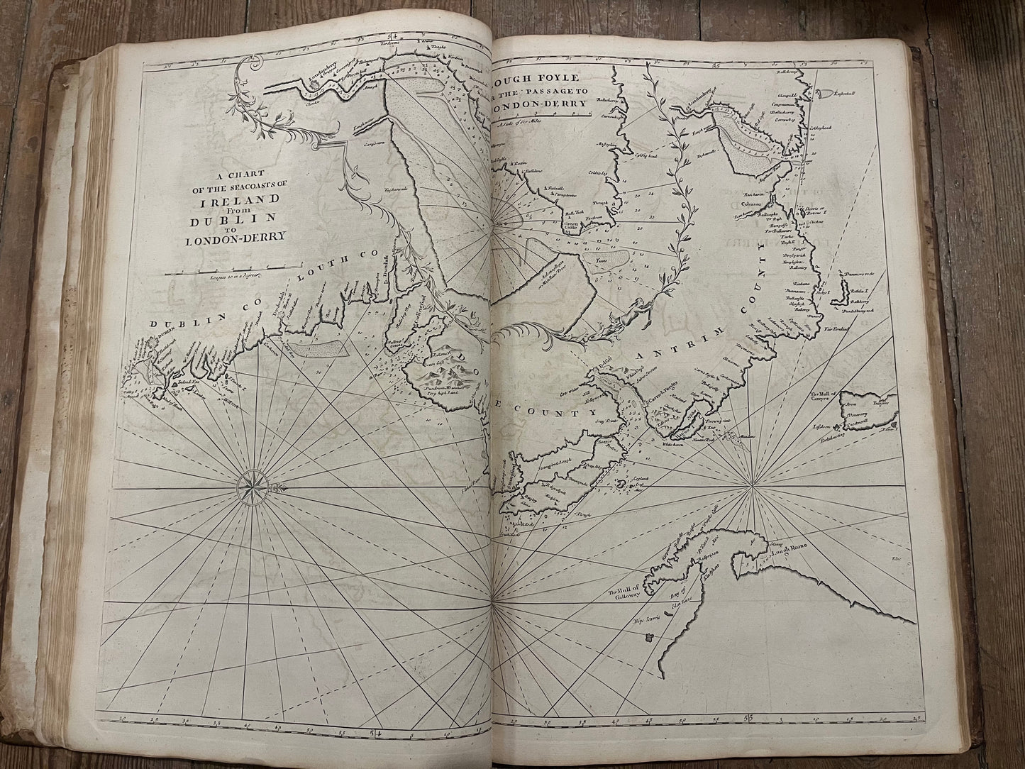
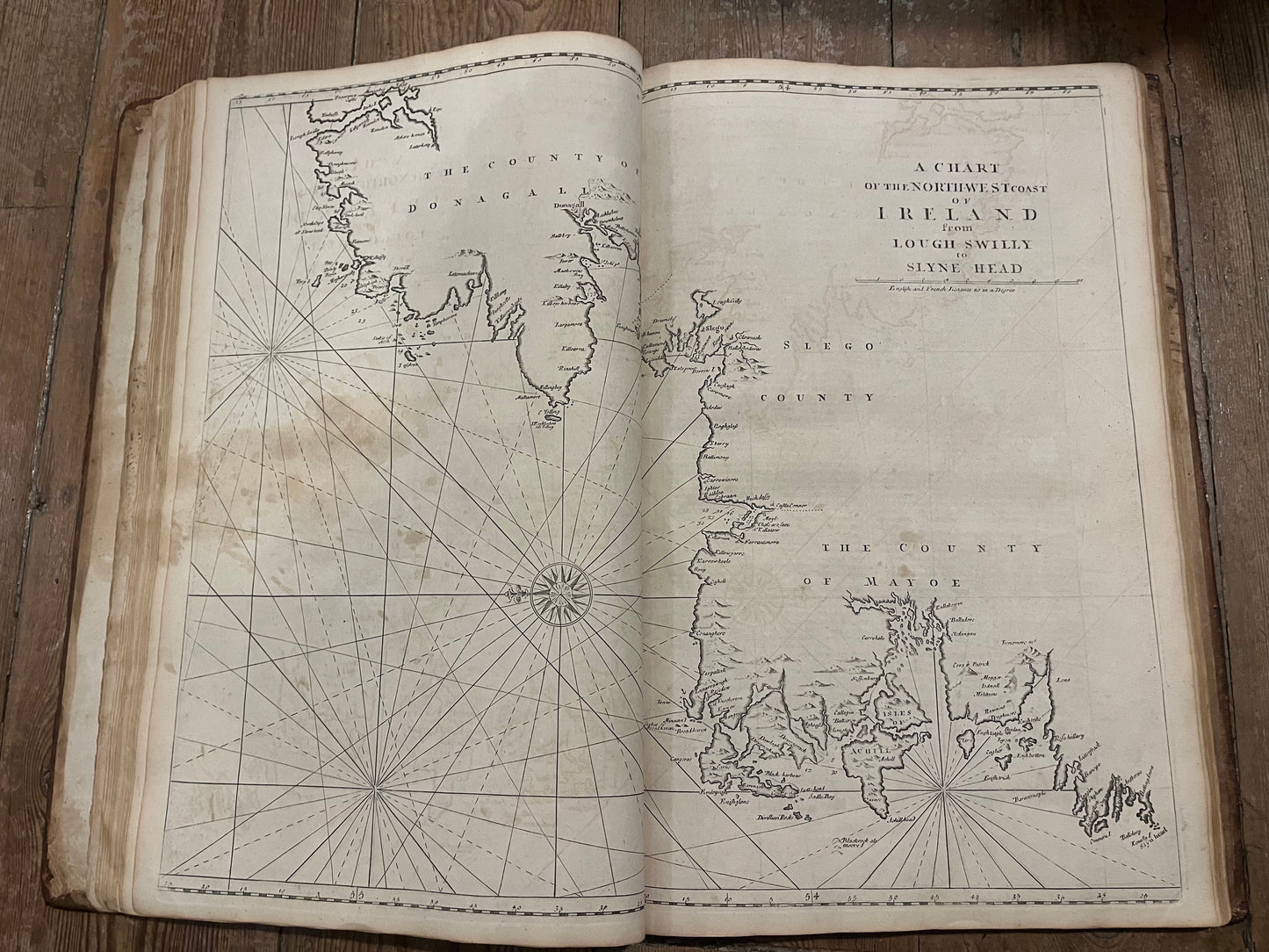
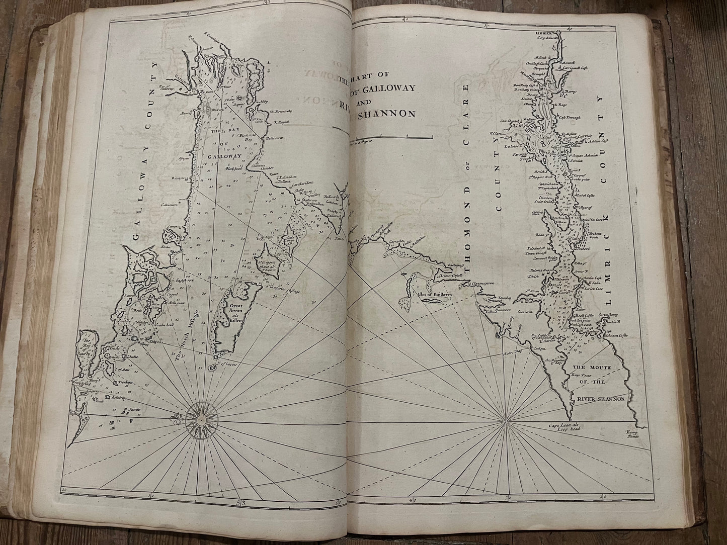
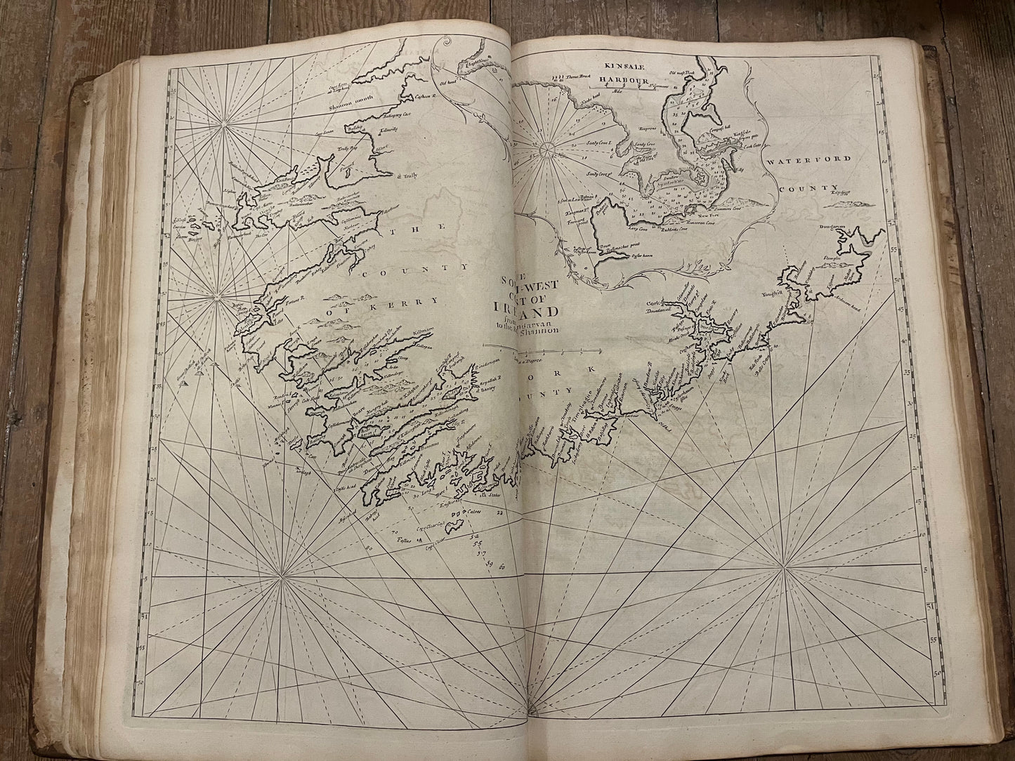
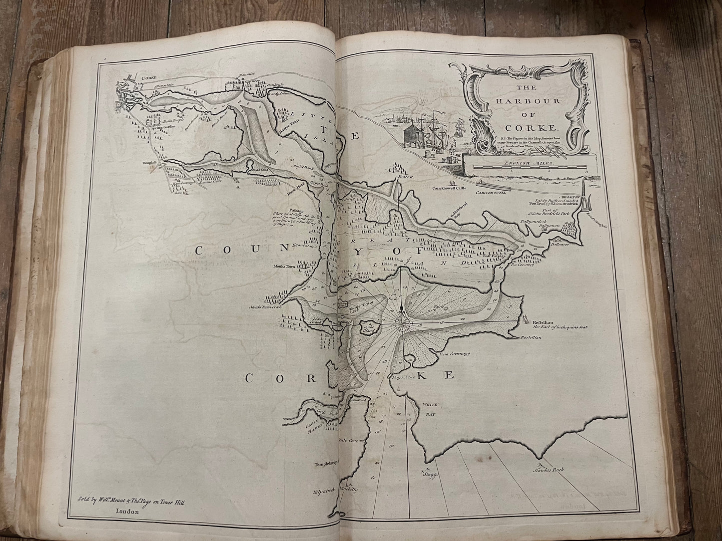
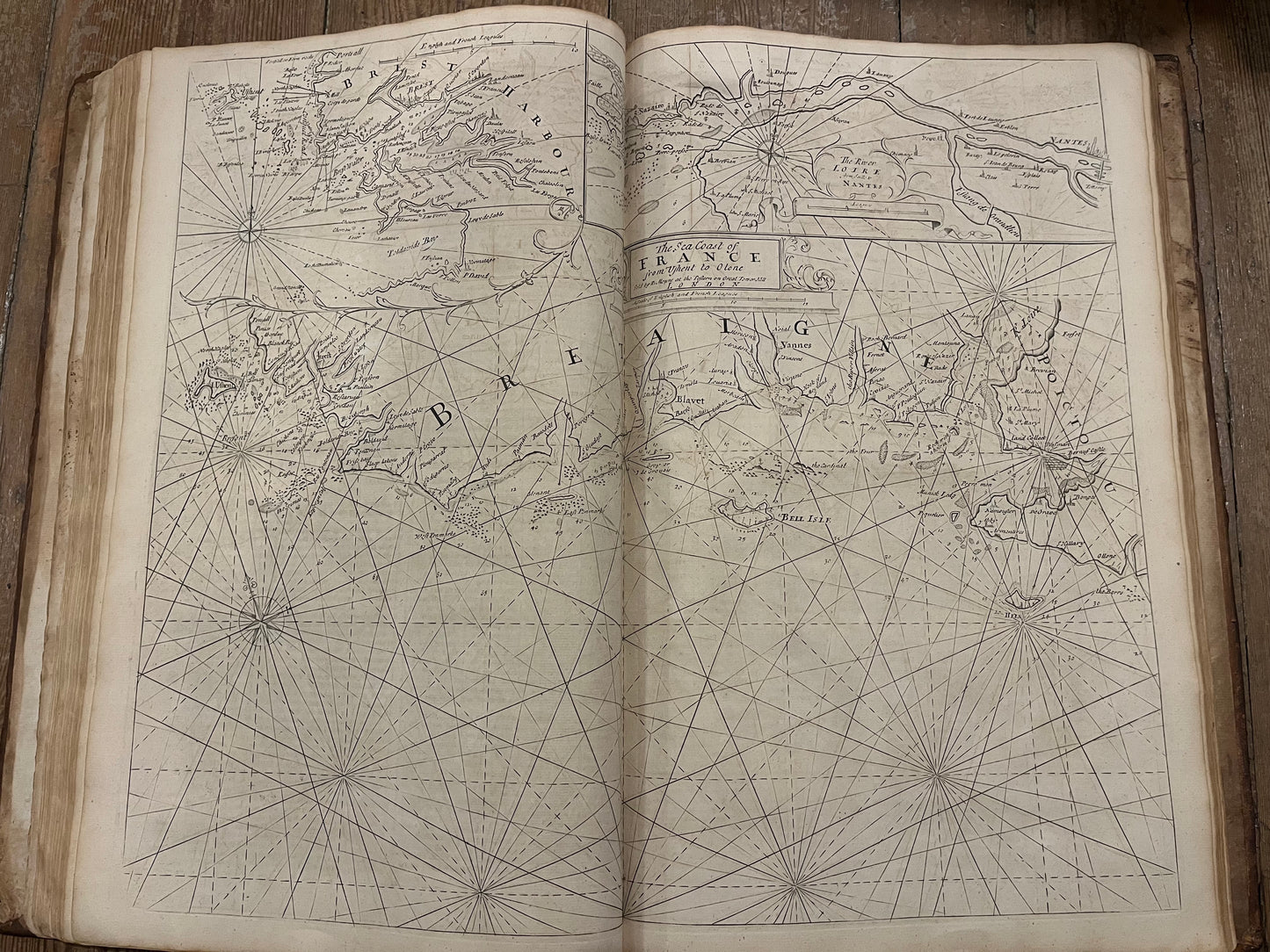
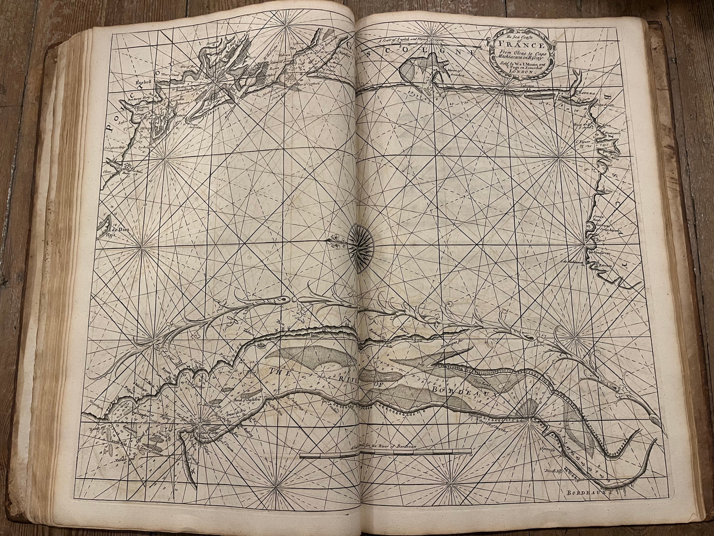
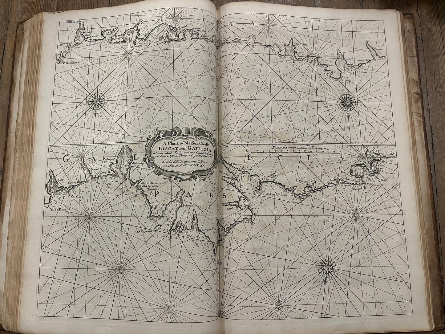
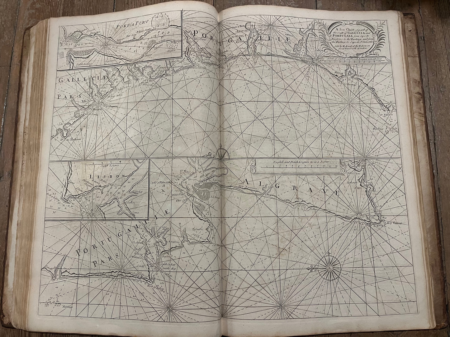
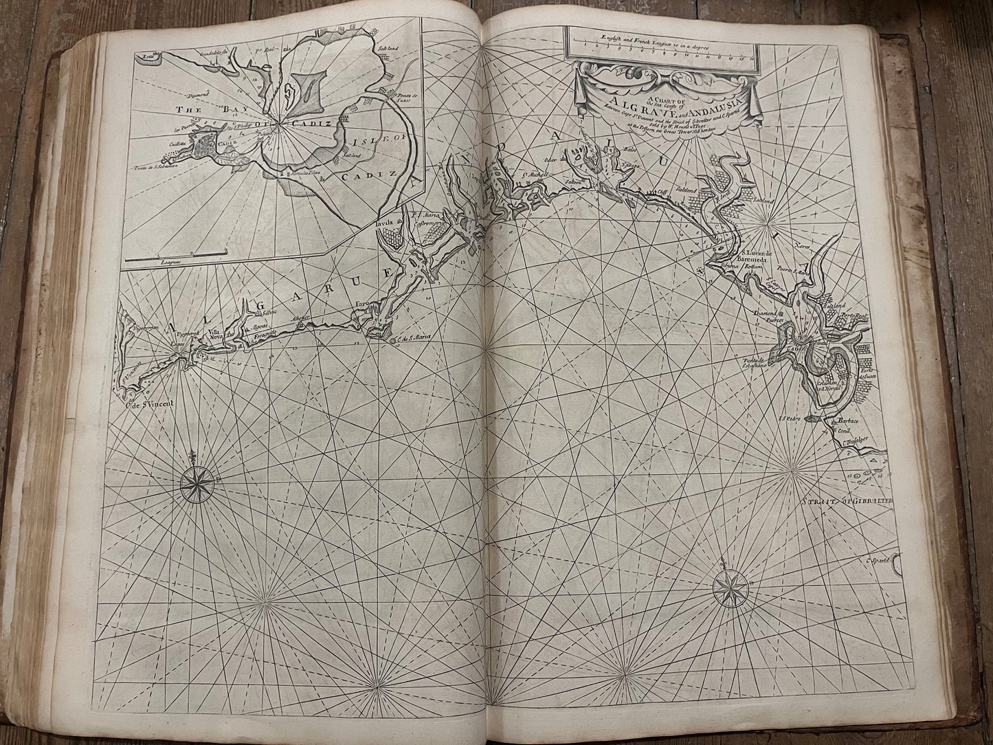
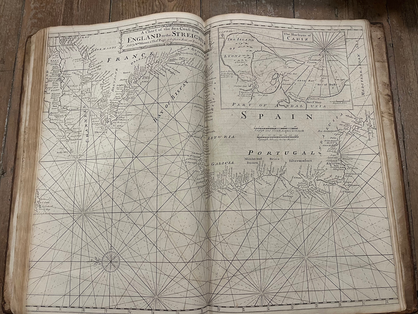
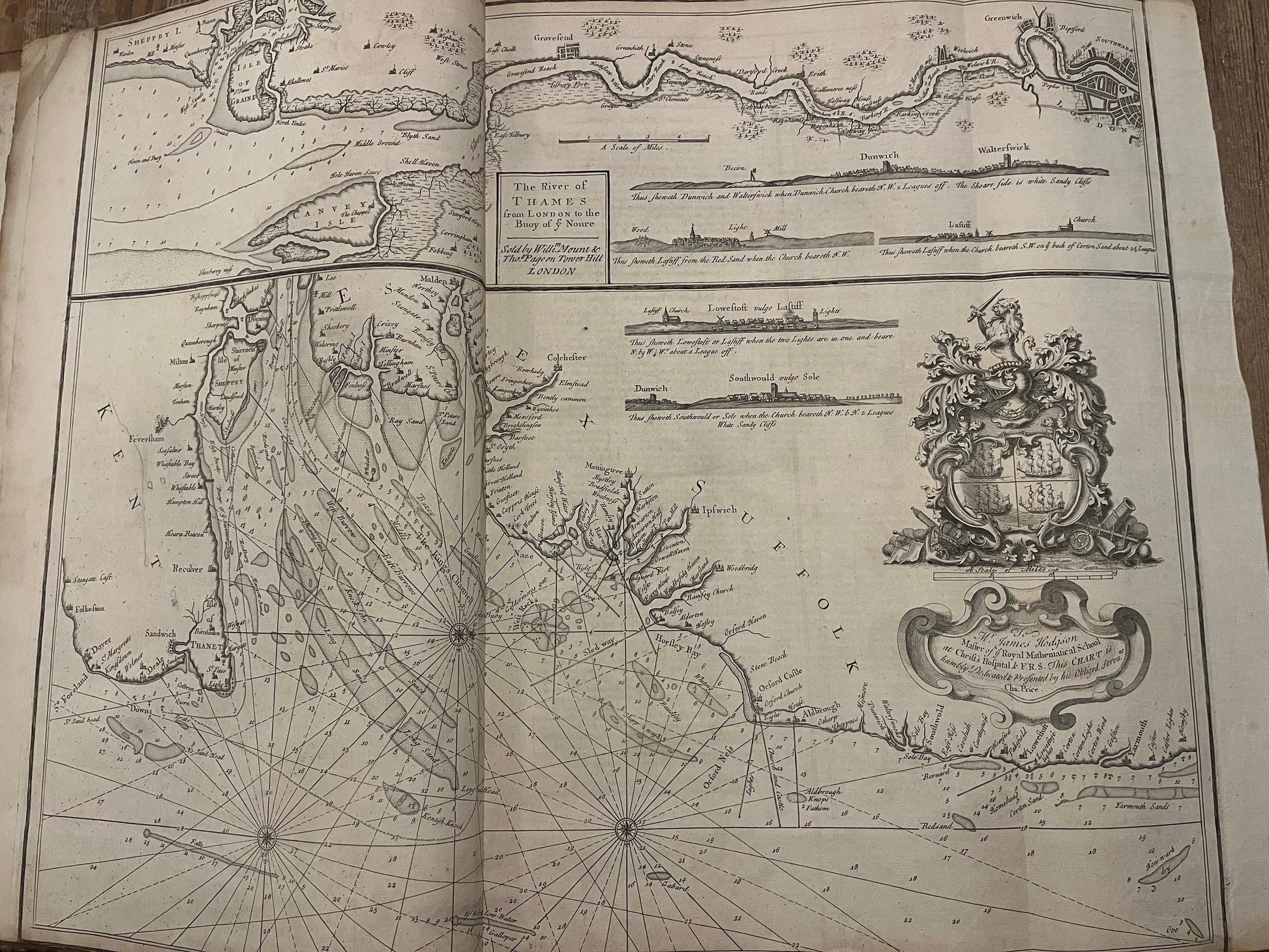
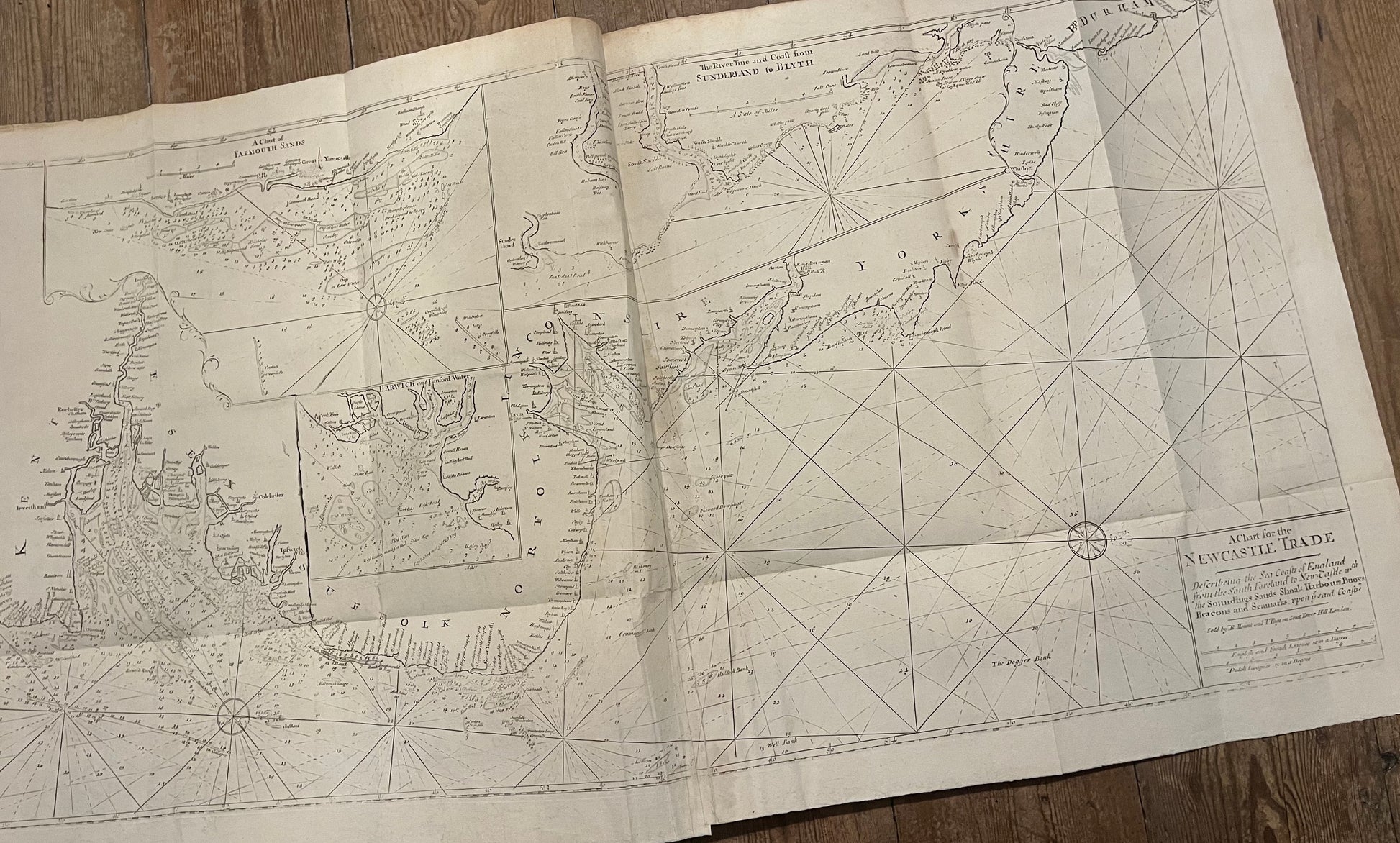
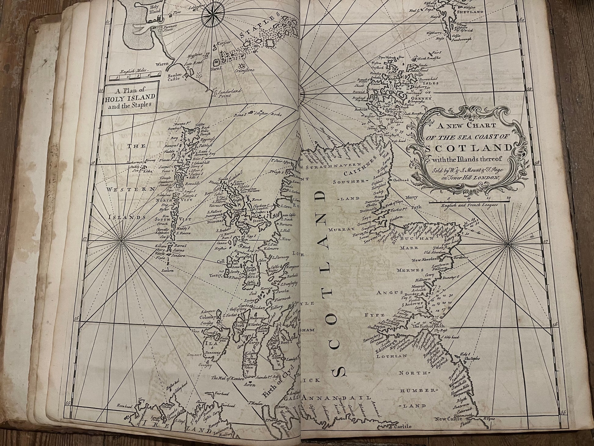
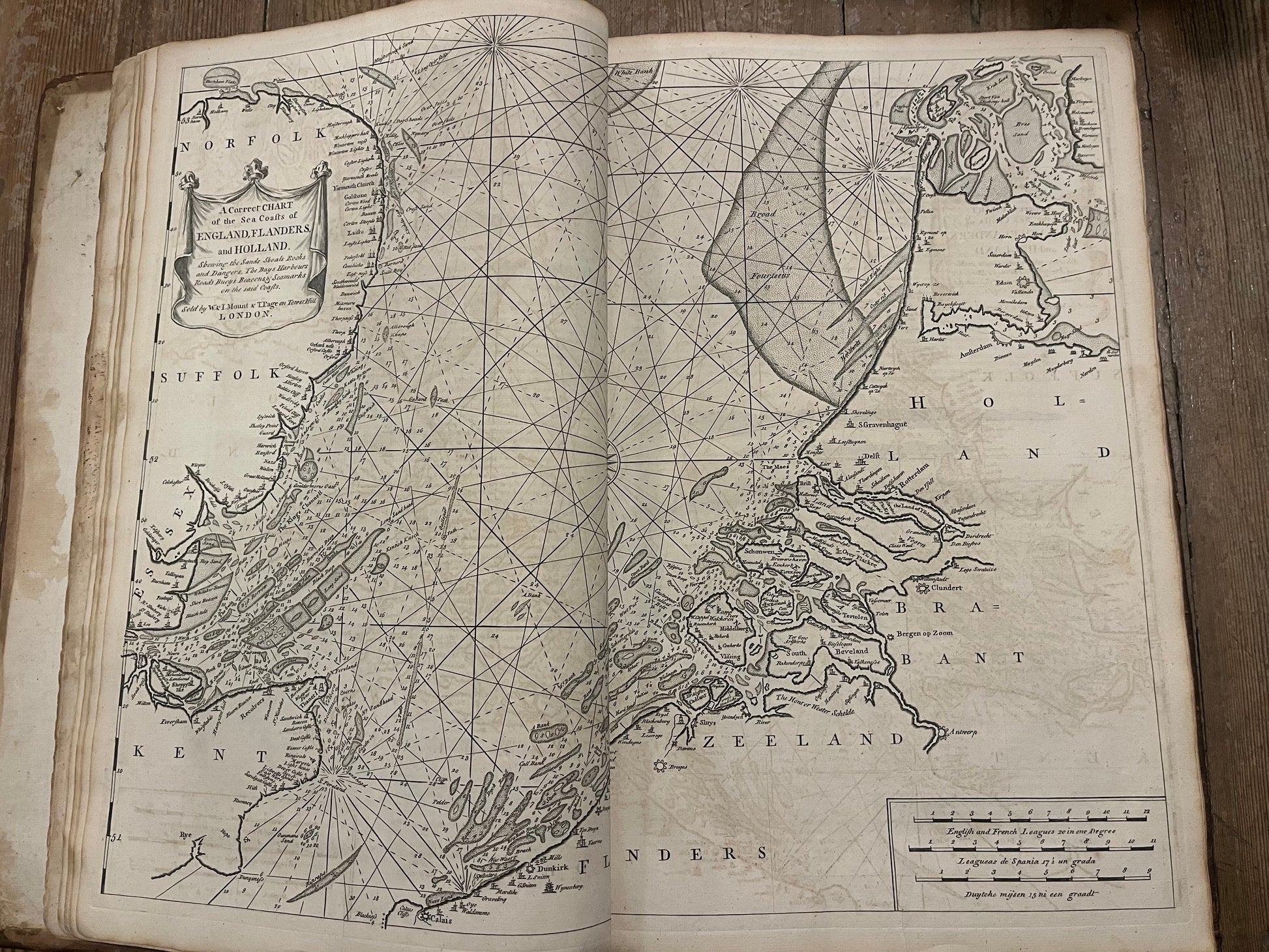
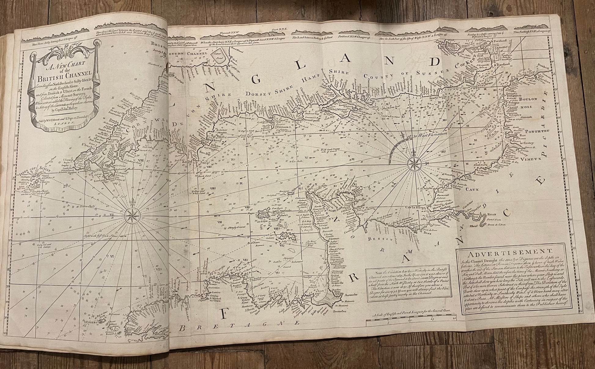
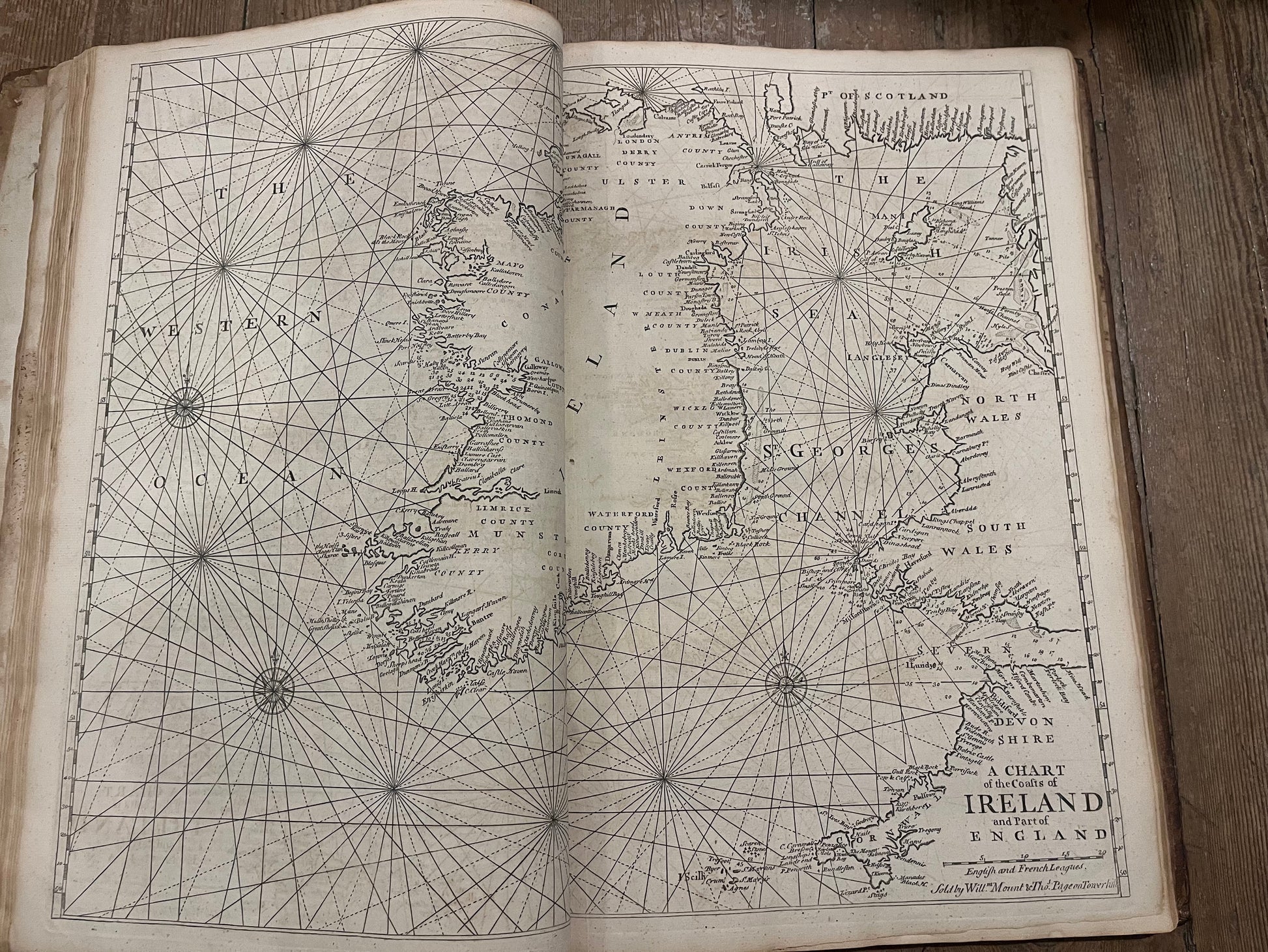
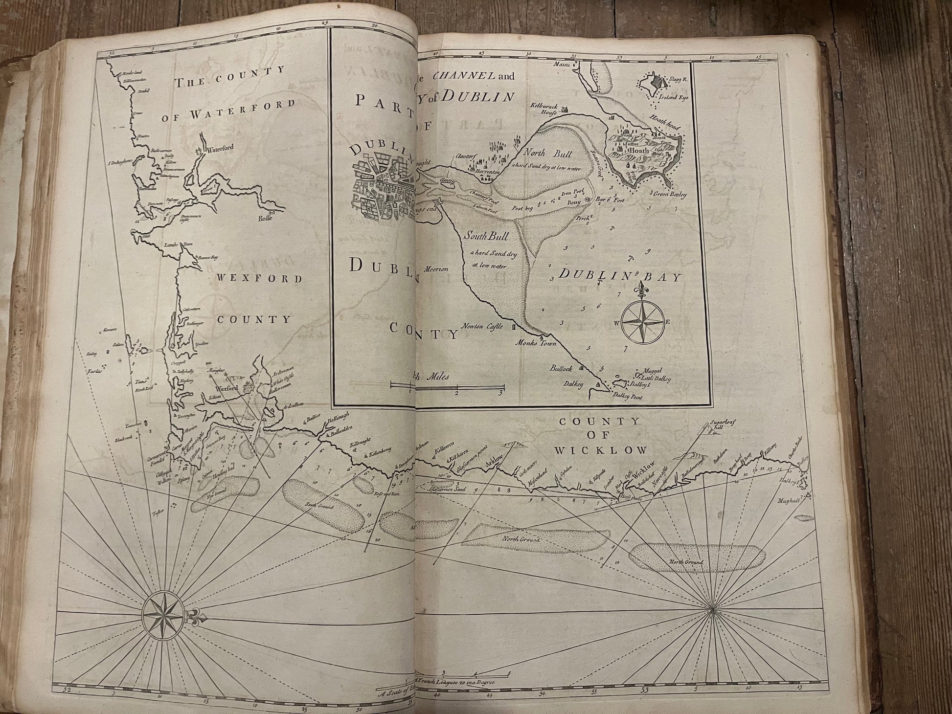
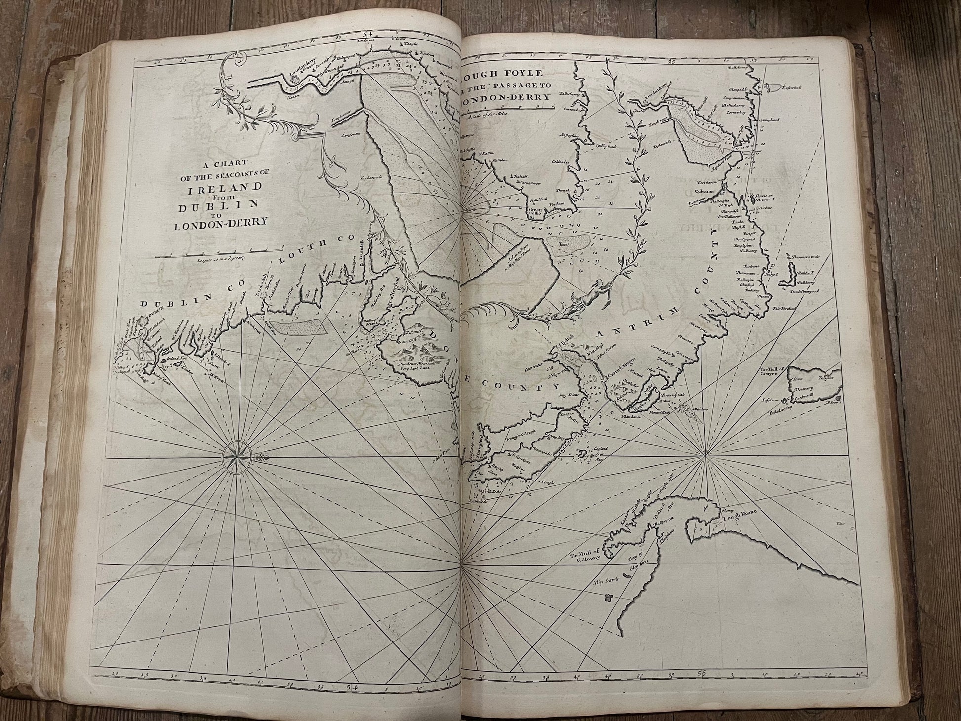
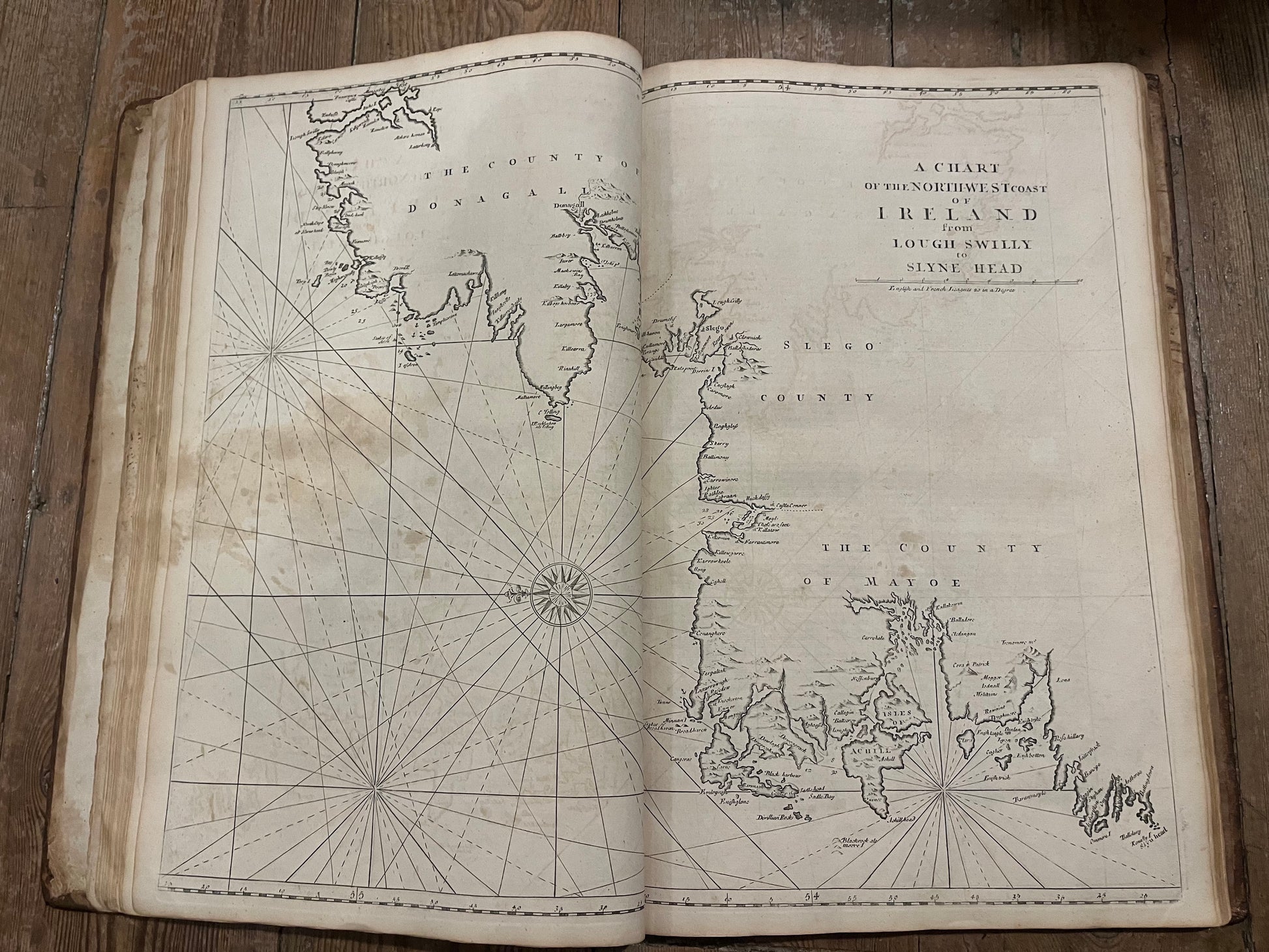
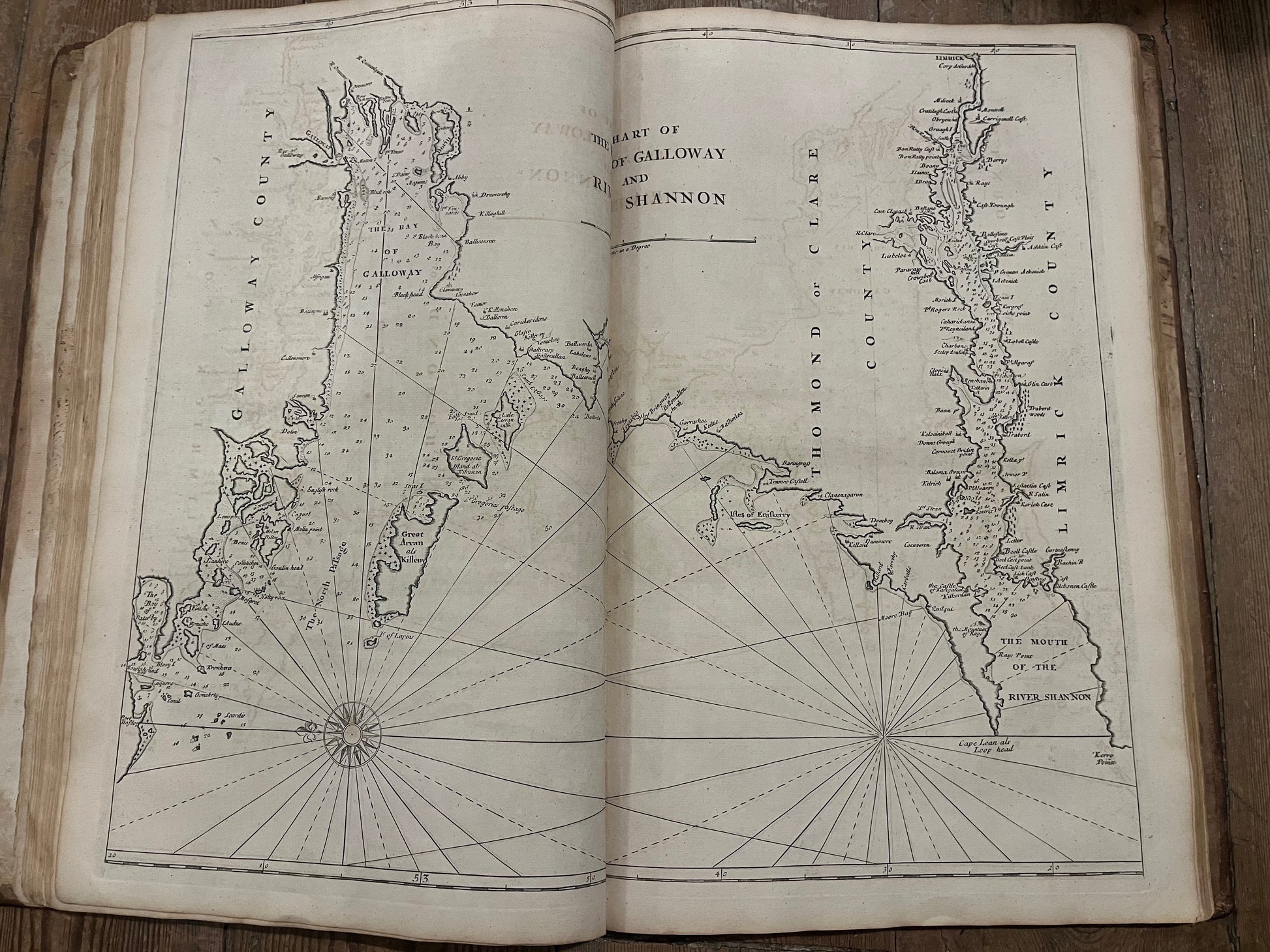
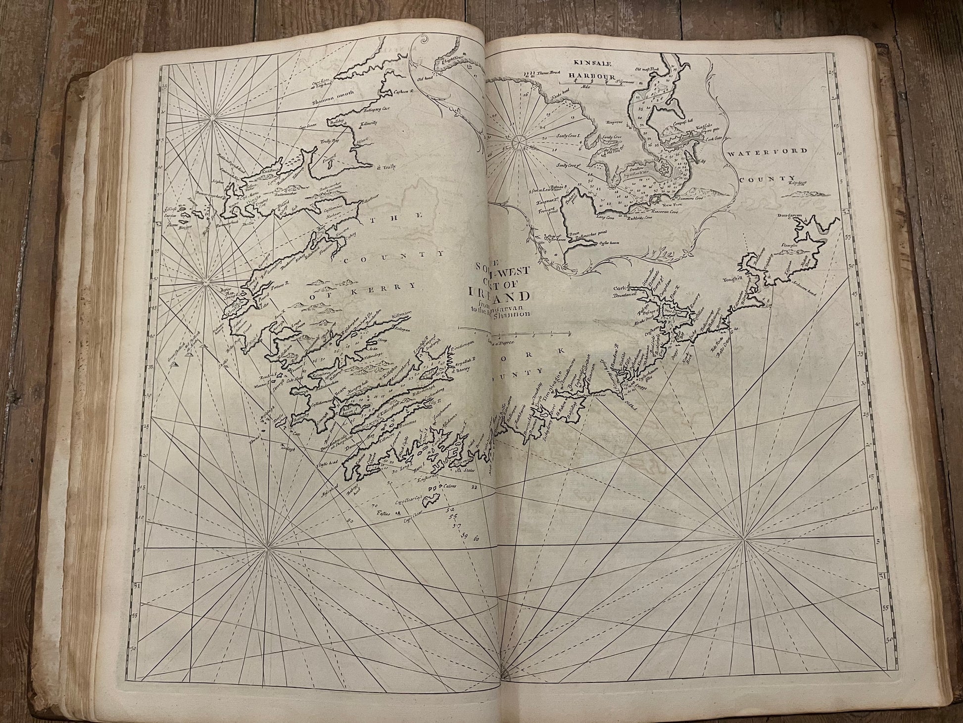
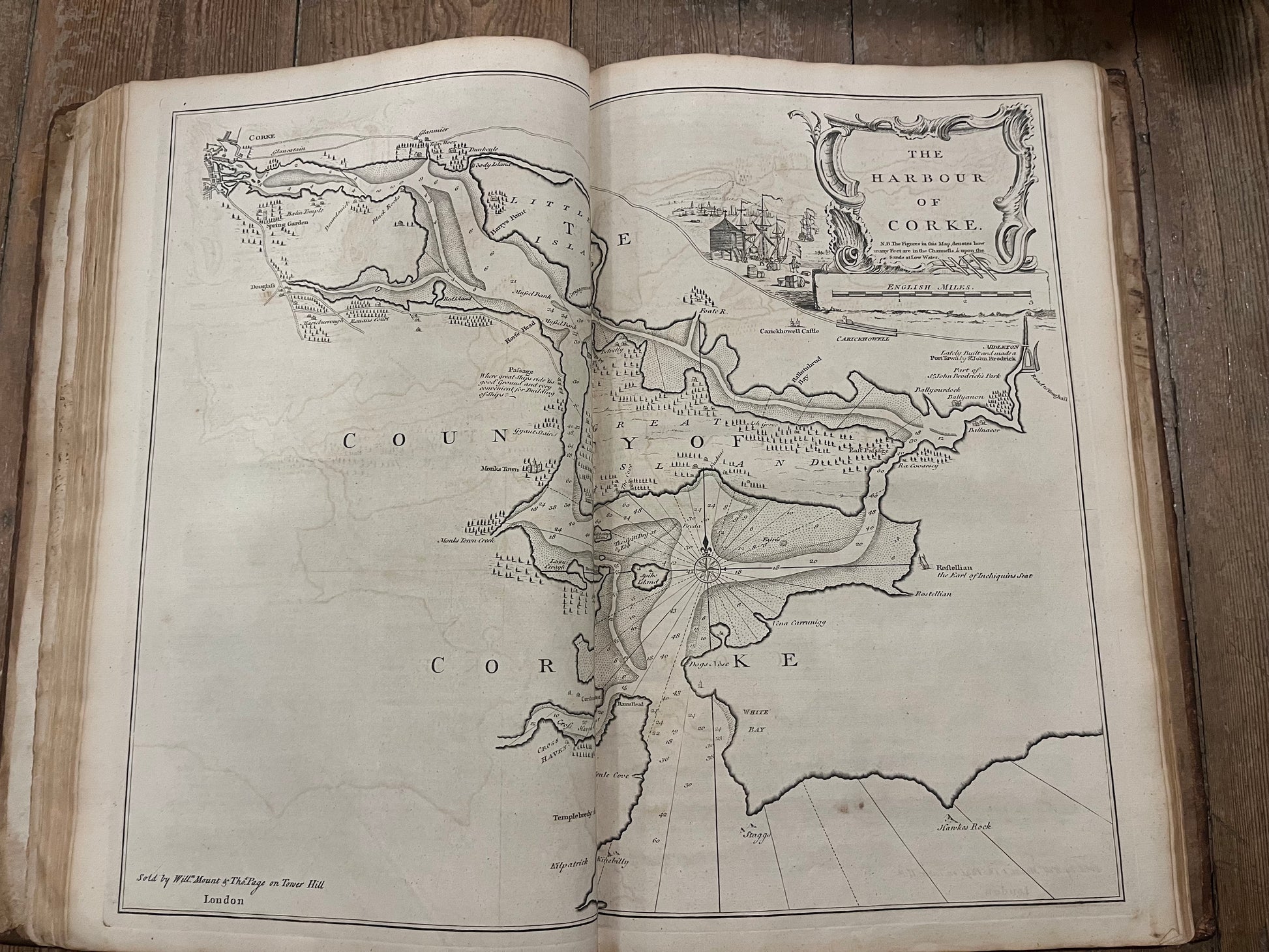
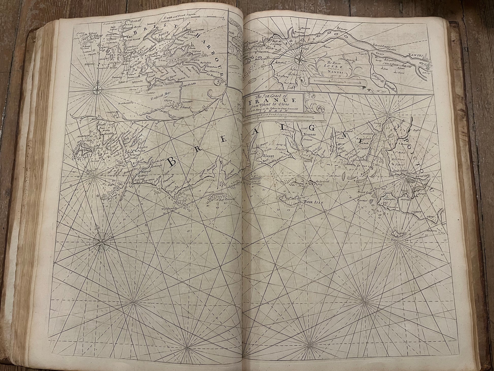
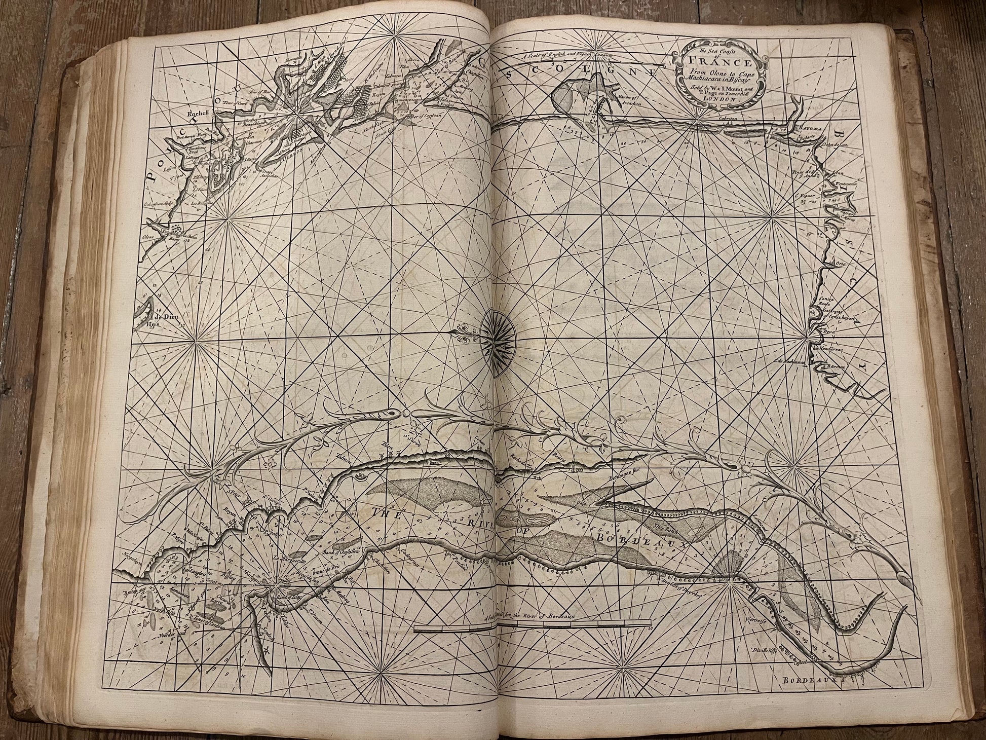
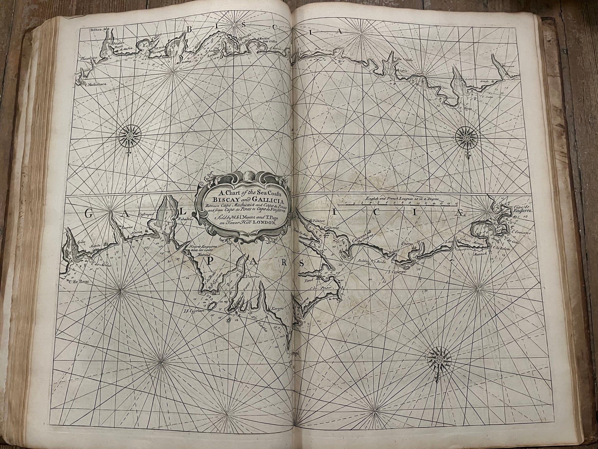
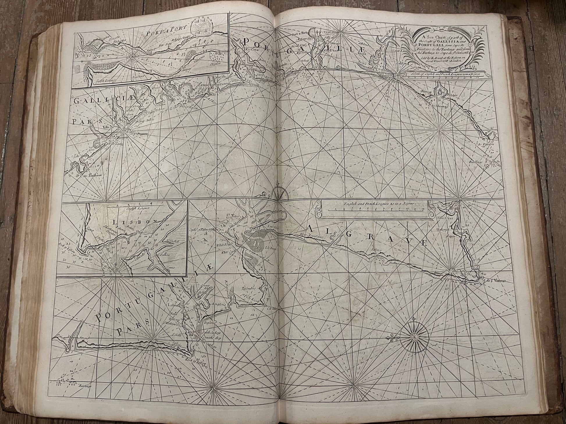
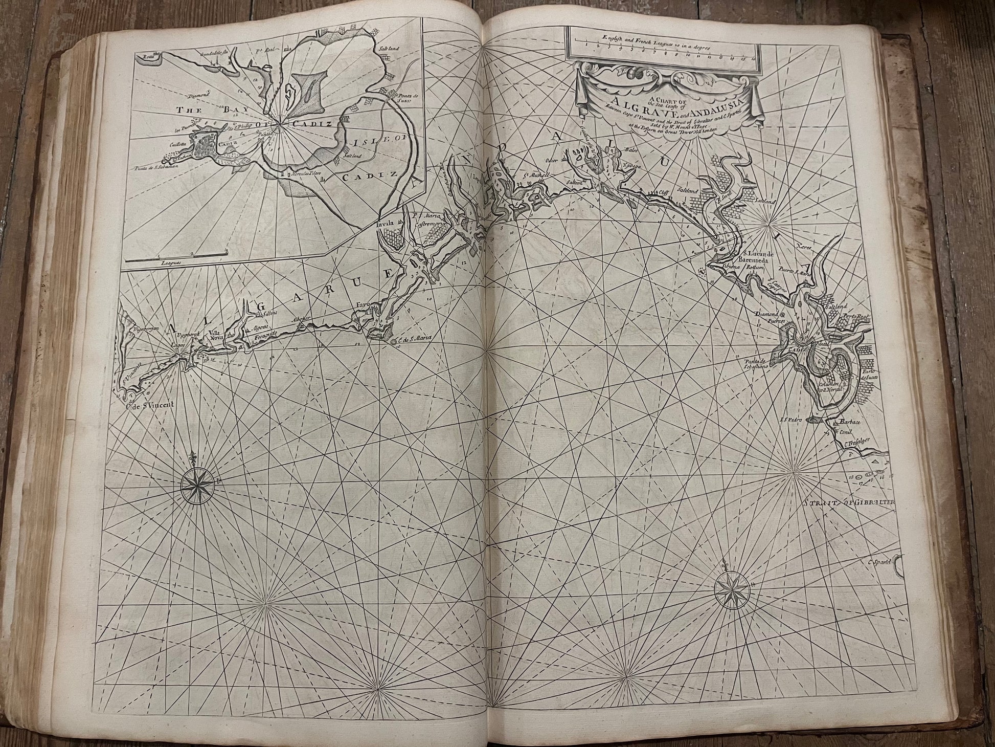
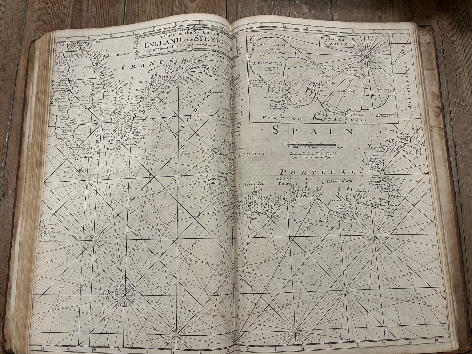
With 23 (of 24) charts - 17 double page, 4 folding and 2 in text. Missing chart 5 (Sea Coast of England Scotland and Ireland)
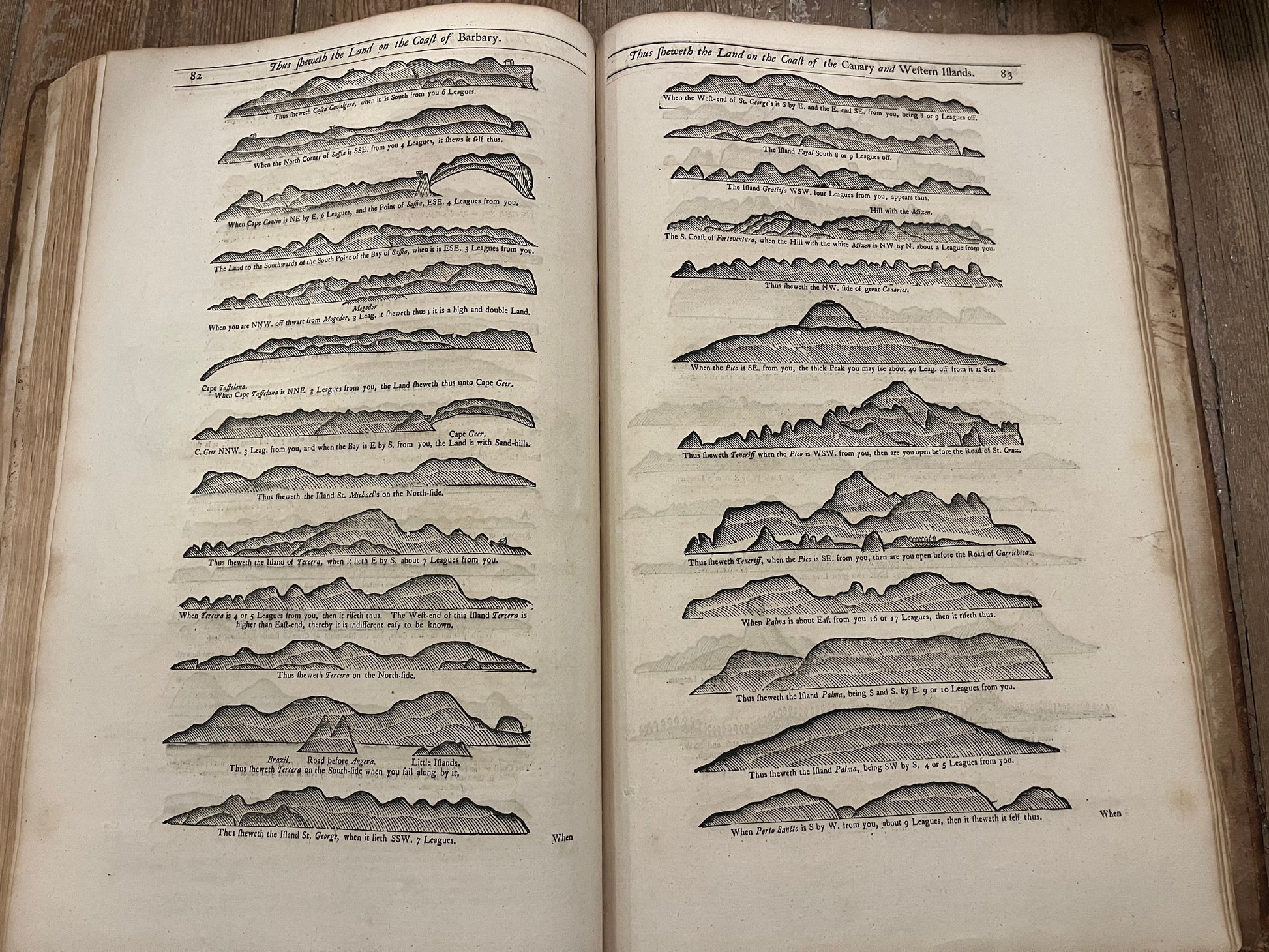
Rare first volume of the important series the English pilot, which was the most important navigational aid of the 18th Century. This part describing the British Isles down to the North atlantic coast of Africa including the Azores and Canary Islands.
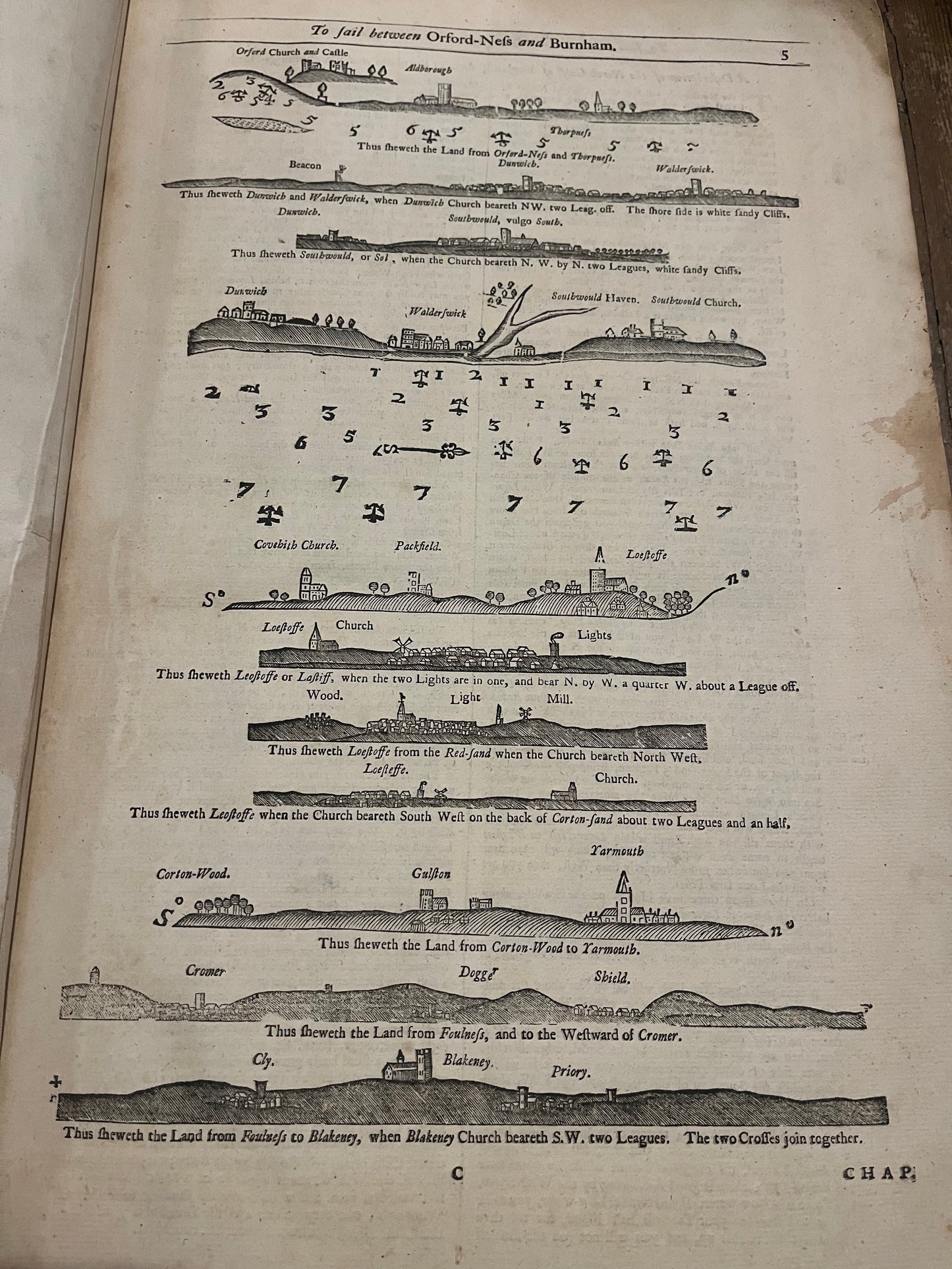
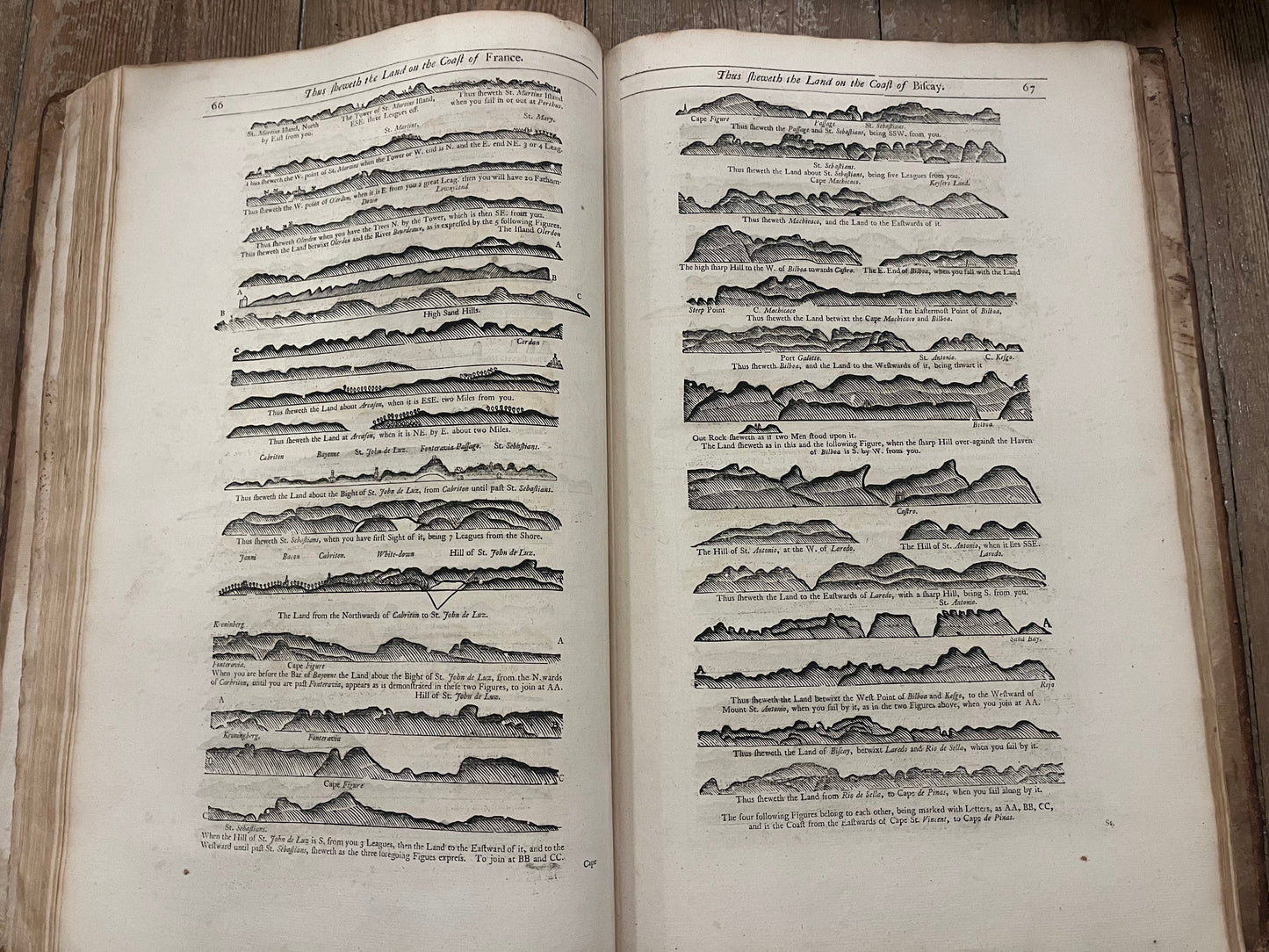
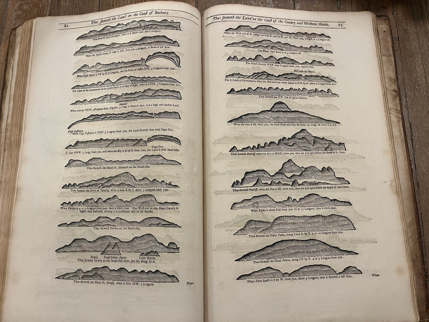
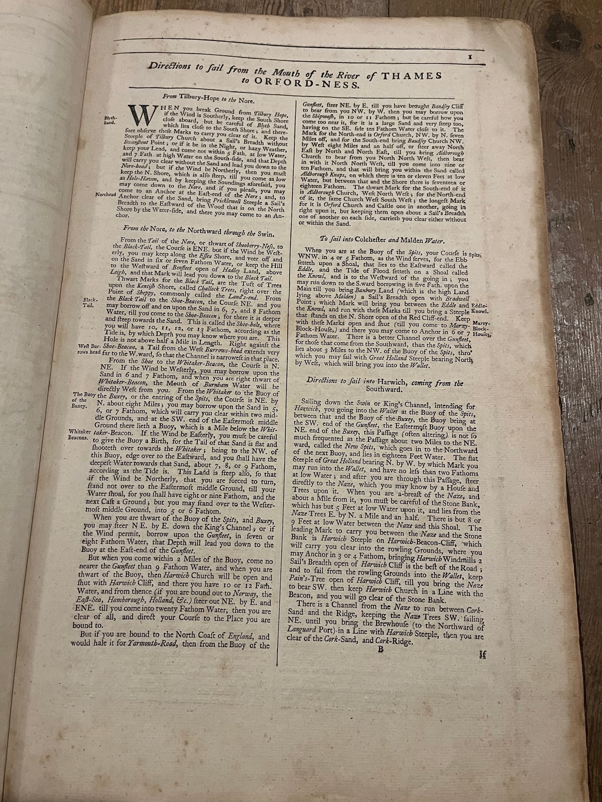
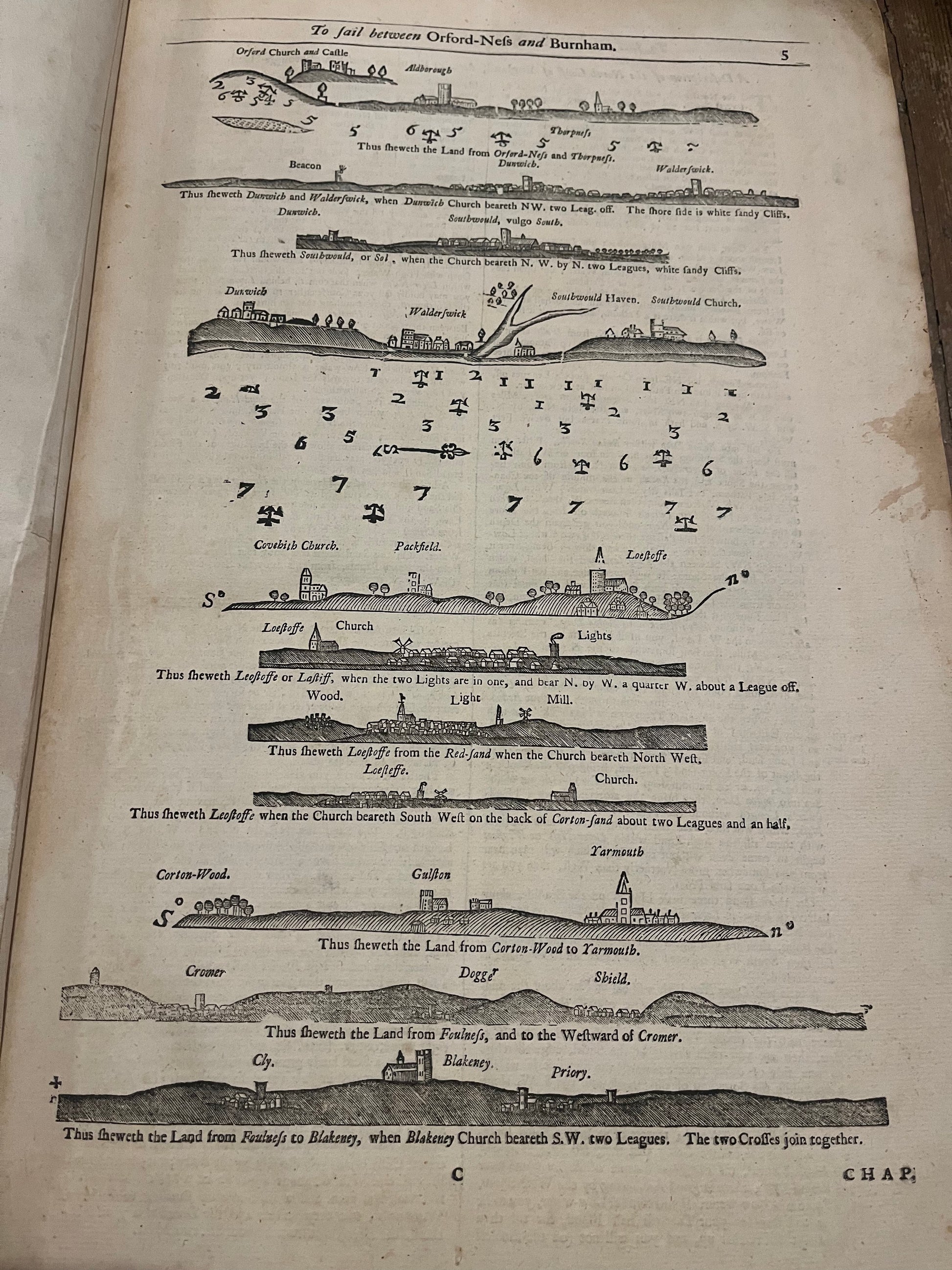
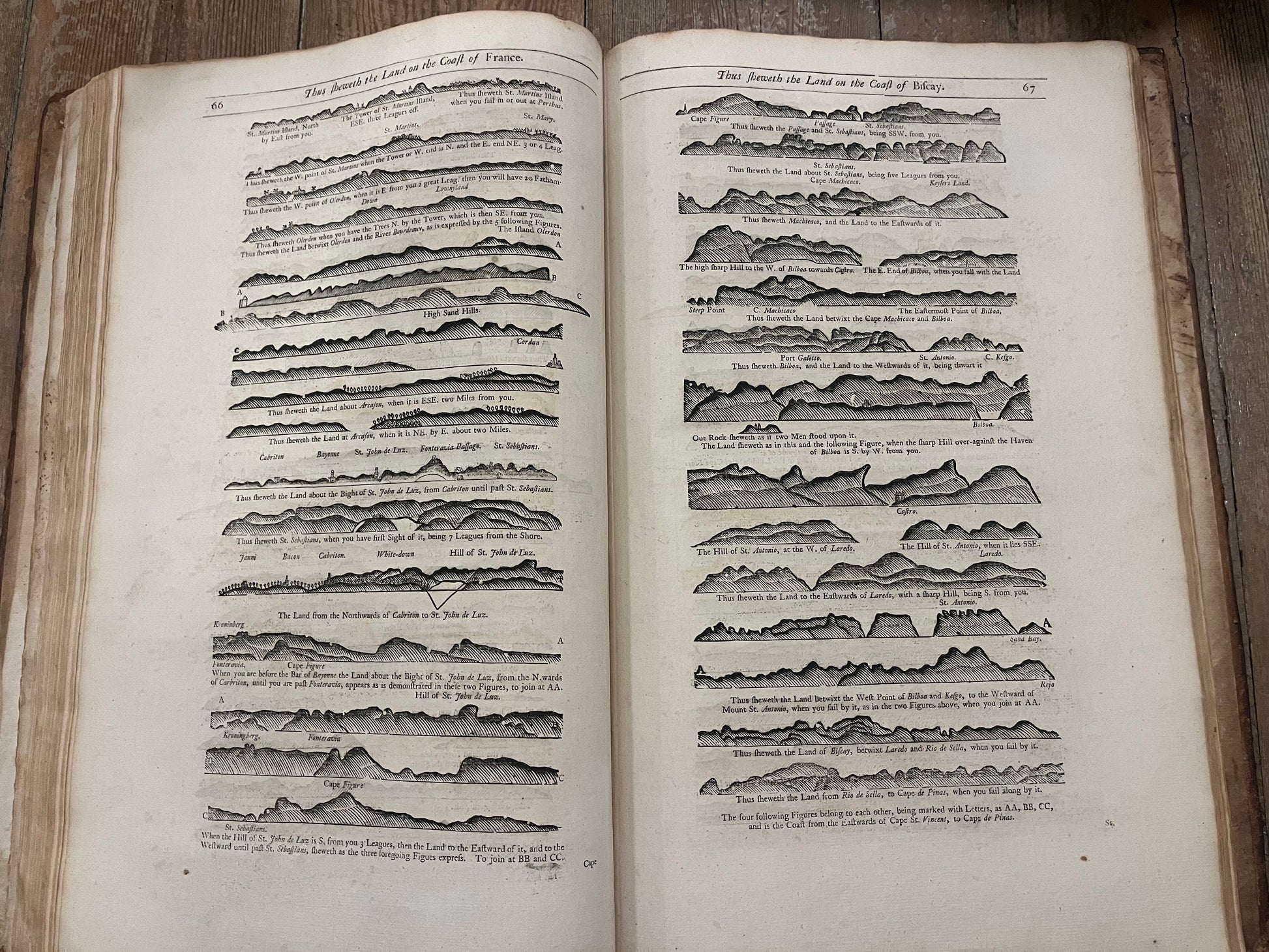
Rare first part (of 6) of the English Pilot with 23 (of 24; 4 folding, 17 double-page, 2 in the text) engraved charts and numerous woodcut coastal profiles in the text. The first chart of the edition of 1729 "A Drught of the Sands..." replaced by a chart of "The River of Thames from London to the Buoy of ye Noure". - Light browning and little foxing throughout, marginal brownish staining to first and last leaves. Chart 3 (Scotland) slightly shaved at top. Without chart 5 (Sea coast of England Scotland & Ireland). Old owners name "M. Fortescue" insribed on top margin of title page. Bound in contemp. full-calf; somewhat stained, extremities scrached, rebacked to style, leather at corners supplemented.
